< STS043-84-29 >
| NASA Photo ID | STS043-84-29 |
| Focal Length | 250mm |
| Date taken | 1991.08.07 |
| Time taken | 12:57:35 GMT |
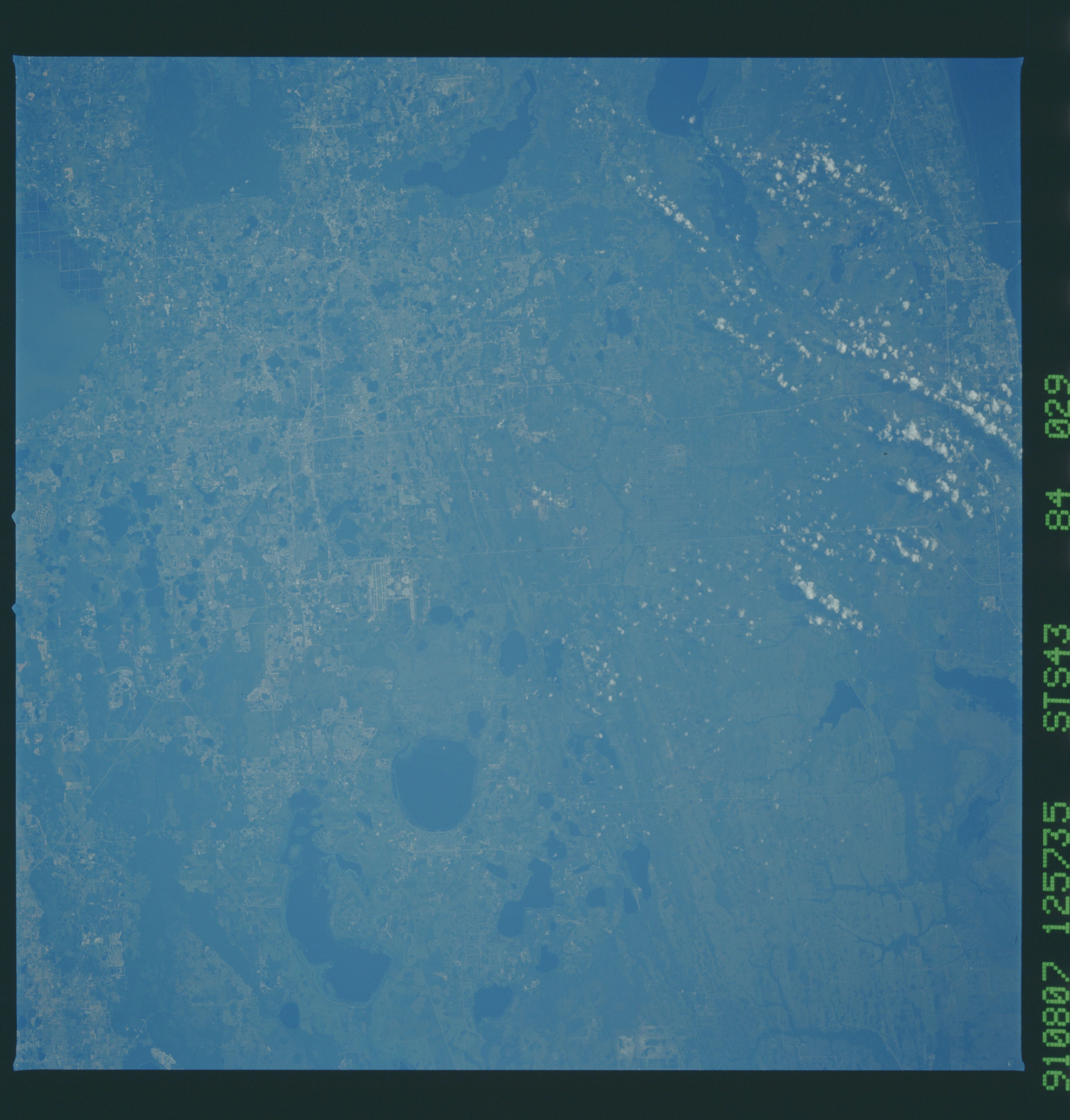
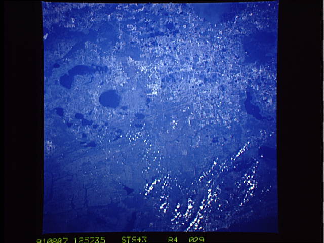
Cloud masks available for this image:
Spacecraft nadir point: 28.3° N, 79.8° W
Photo center point: 28.5° N, 81.0° W
Photo center point by machine learning:
Photo center point: 28.5° N, 81.0° W
Photo center point by machine learning:
Nadir to Photo Center: West
Spacecraft Altitude: 177 nautical miles (328km)Body: Earth
Country or Geographic Name: | USA-FLORIDA |
Features: | ORLANDO |
| Features Found Using Machine Learning: | |
Cloud Cover Percentage: | 10 (1-10)% |
Sun Elevation Angle: | 27° |
Sun Azimuth: | 85° |
Camera: | Hasselblad |
Focal Length: | 250mm |
Camera Tilt: | 22 degrees |
Format: | 5017: Kodak, natural color positive, Ektachrome, X Professional, ASA 64, standard base |
Film Exposure: | Under Exposed |
| Additional Information | |
| Width | Height | Annotated | Cropped | Purpose | Links |
|---|---|---|---|---|---|
| 4396 pixels | 4600 pixels | No | No | Download Image | |
| 500 pixels | 523 pixels | No | No | Download Image | |
| 640 pixels | 480 pixels | No | No | Download Image |
Download Packaged File
Download a Google Earth KML for this Image
View photo footprint information
No GeoTIFF is available for this photo.Image Caption:
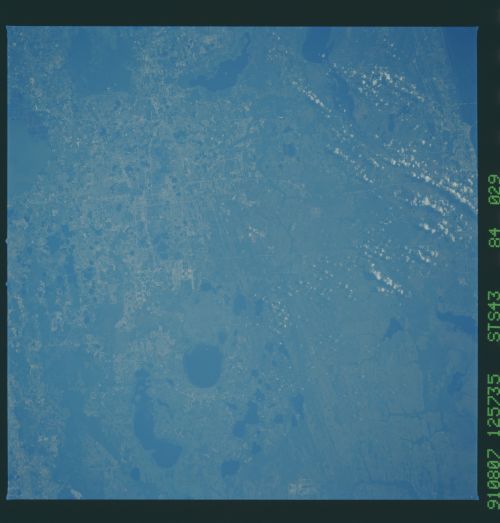
S43-84-29 - Orlando, Florida
The area covered by this photograph includes Disneyworld at the
top center, near the city of Orlando, Florida. The top of the
photograph is west. The crescent-shaped Lake Lohopetaliga is near
the left bottom. The large round lakes are beliwved to fill an-
cient sinkholes, formed during glacial stages when ocean levels
were several hundred feet lower than present. Linear patterns in
the right side of the view are ancient beach ridges, formed dur-
ing periods of interglacial high sea level stand. Hasselblad
camera, 250mm lens, x GMT
Much of central Florida, including this detailed view of Orlando (28.5N, 81.0W) can be seen in this single photo. Disney World is at the top center of the scene and the crescent shaped Lake Tohopekaliga is near the bottom. The large round lakes are believed to be sinkholes formed during glacial times when ocean levels were several hundred feet lower than the present. Linear patterns east of Orlando are thought to be ancient shoreline ridges.
S43-84-29 - Orlando, Florida
The area covered by this photograph includes Disneyworld at the
top center, near the city of Orlando, Florida. The top of the
photograph is west. The crescent-shaped Lake Lohopetaliga is near
the left bottom. The large round lakes are beliwved to fill an-
cient sinkholes, formed during glacial stages when ocean levels
were several hundred feet lower than present. Linear patterns in
the right side of the view are ancient beach ridges, formed dur-
ing periods of interglacial high sea level stand. Hasselblad
camera, 250mm lens, x GMT
Much of central Florida, including this detailed view of Orlando (28.5N, 81.0W) can be seen in this single photo. Disney World is at the top center of the scene and the crescent shaped Lake Tohopekaliga is near the bottom. The large round lakes are believed to be sinkholes formed during glacial times when ocean levels were several hundred feet lower than the present. Linear patterns east of Orlando are thought to be ancient shoreline ridges.

