< ISS041-E-28632 >

| NASA Photo ID | ISS041-E-28632 |
| Focal Length | 25mm |
| Date taken | 2014.09.23 |
| Time taken | 10:38:13 GMT |

Cloud masks available for this image:
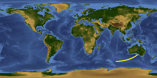
Spacecraft nadir point: 36.4° S, 135.3° E
Photo center point:
Photo center point by machine learning:
Photo center point:
Photo center point by machine learning:
Nadir to Photo Center:
Spacecraft Altitude: 227 nautical miles (420km)
Country or Geographic Name: | |
Features: | |
| Features Found Using Machine Learning: | |
Cloud Cover Percentage: | 0 (no clouds present) |
Sun Elevation Angle: | -21° |
Sun Azimuth: | 253° |
Camera: | NIKON D3S S/N: 2053892 |
Focal Length: | 25mm |
Camera Tilt: | |
Format: | |
Film Exposure: | |
| Additional Information | |
This photo is one of the photos used to create this time-lapse video:
| Width | Height | Annotated | Cropped | Purpose | Links |
|---|---|---|---|---|---|
| 4256 pixels | 2832 pixels | No | No | Download Image | |
| 640 pixels | 426 pixels | No | No | Download Image |
Download Packaged File
Download a Google Earth KML for this Image
View photo footprint information
No GeoTIFF is available for this photo.Image Caption: none
