< STS068-212-28 >
| NASA Photo ID | STS068-212-28 |
| Focal Length | 250mm |
| Date taken | 1994.10.02 |
| Time taken | 18:29:32 GMT |
Resolutions offered for this image:
3904 x 3904 pixels 639 x 639 pixels 5700 x 5900 pixels 500 x 518 pixels 640 x 480 pixels
3904 x 3904 pixels 639 x 639 pixels 5700 x 5900 pixels 500 x 518 pixels 640 x 480 pixels

Cloud masks available for this image:
Spacecraft nadir point: 46.8° N, 85.0° W
Photo center point: 46.5° N, 84.5° W
Photo center point by machine learning:
Photo center point: 46.5° N, 84.5° W
Photo center point by machine learning:
Nadir to Photo Center: Southeast
Spacecraft Altitude: 118 nautical miles (219km)
Country or Geographic Name: | USA-MICHIGAN |
Features: | UPPER PEN, WHITE TRIANGLE |
| Features Found Using Machine Learning: | |
Cloud Cover Percentage: | 5 (1-10)% |
Sun Elevation Angle: | 38° |
Sun Azimuth: | 199° |
Camera: | Hasselblad |
Focal Length: | 250mm |
Camera Tilt: | 17 degrees |
Format: | 5046: Kodak, natural color positive, Lumiere 100/5046, ASA 100, standard base |
Film Exposure: | Normal |
| Additional Information | |
| Width | Height | Annotated | Cropped | Purpose | Links |
|---|---|---|---|---|---|
| 3904 pixels | 3904 pixels | No | No | Earth From Space collection | Download Image |
| 639 pixels | 639 pixels | No | No | Earth From Space collection | Download Image |
| 5700 pixels | 5900 pixels | No | No | Download Image Download Color Calibration Image for this Image |
|
| 500 pixels | 518 pixels | No | No | Download Image Download Color Calibration Image for this Image |
|
| 640 pixels | 480 pixels | No | No | Download Image |
Download Packaged File
Download a Google Earth KML for this Image
View photo footprint information
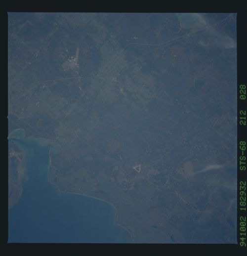
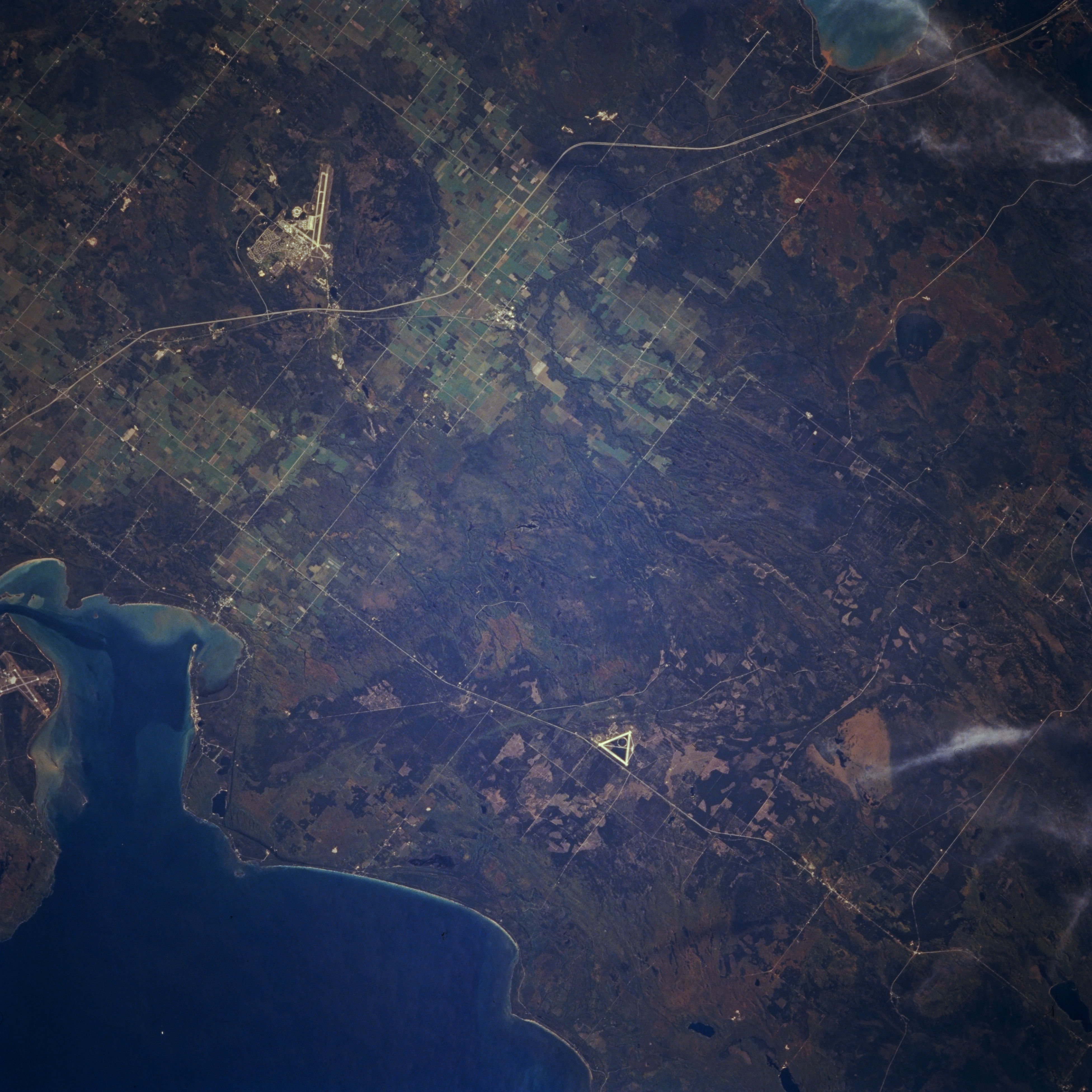
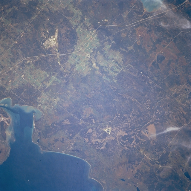
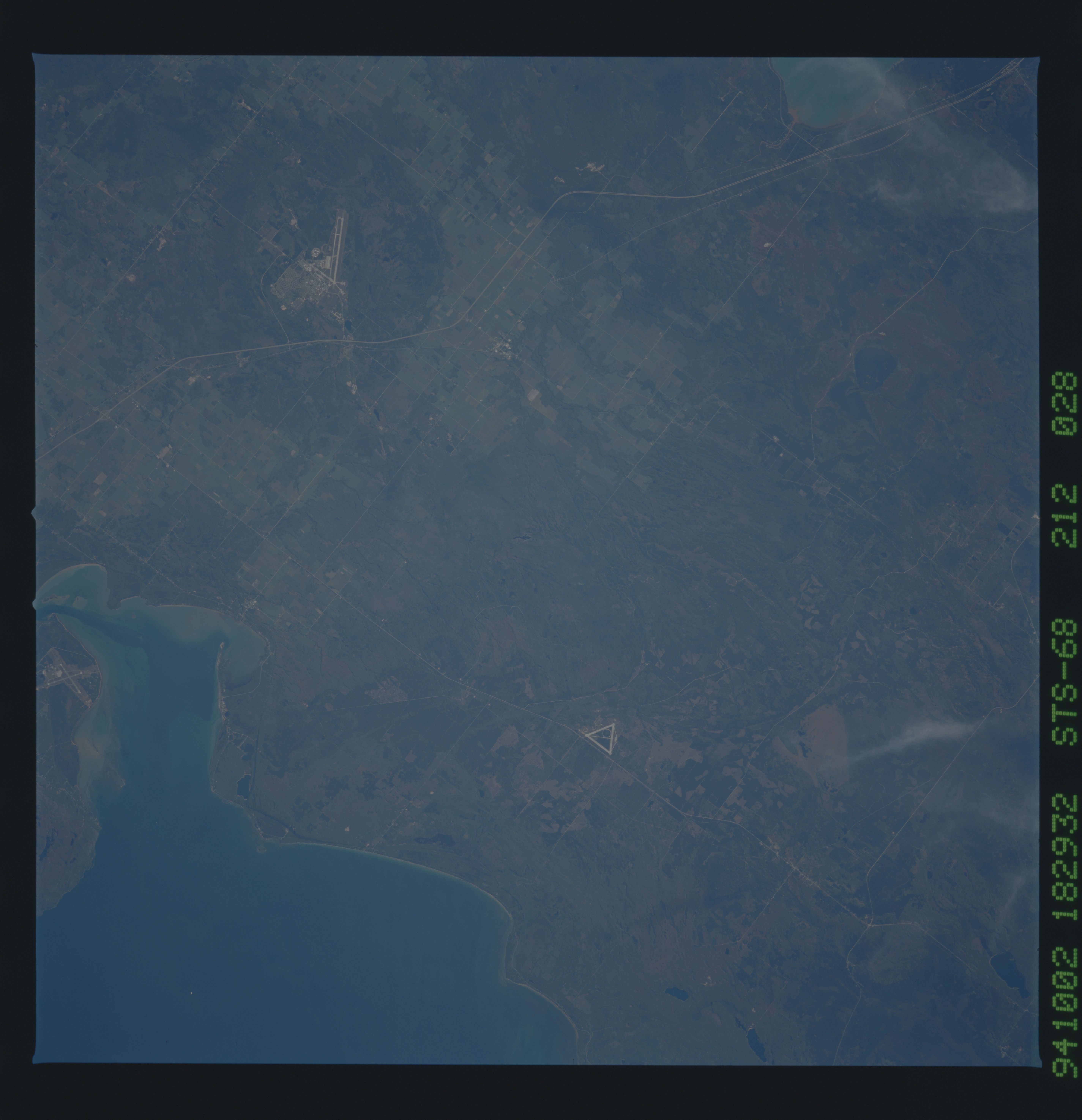
No GeoTIFF is available for this photo.Image Caption: STS068-212-028 Chippewa County, Michigan, U.S.A. October 1994
Apparent in this near-vertical photograph of Michigan's eastern Upper Peninsula is the relatively flat, forested terrain of Chippewa County, the leading tourist county in the Upper Peninsula and the third leading tourist county in the state. Discernible are Hiawatha National Forest, Whitefish Bay, Interstate Highway 75 (left center to upper right), and two airports--Sault Sainte Marie Airport in Canada (bottom left) and Chippewa County International Airport east of Interstate Highway 75.
Apparent in this near-vertical photograph of Michigan's eastern Upper Peninsula is the relatively flat, forested terrain of Chippewa County, the leading tourist county in the Upper Peninsula and the third leading tourist county in the state. Discernible are Hiawatha National Forest, Whitefish Bay, Interstate Highway 75 (left center to upper right), and two airports--Sault Sainte Marie Airport in Canada (bottom left) and Chippewa County International Airport east of Interstate Highway 75.
