< STS043-151-254 >
| NASA Photo ID | STS043-151-254 |
| Focal Length | 90mm |
| Date taken | 1991.08.10 |
| Time taken | 04:52:52 GMT |
Cloud masks available for this image:
Spacecraft nadir point: 14.1° S, 128.1° E
Photo center point: 14.0° S, 128.0° E
Photo center point by machine learning:
Photo center point: 14.0° S, 128.0° E
Photo center point by machine learning:
Nadir to Photo Center: Northwest
Spacecraft Altitude: 166 nautical miles (307km)Body: Earth
Country or Geographic Name: | AUSTRALIA-WA |
Features: | JOSEPH BONAPARTE GULF |
| Features Found Using Machine Learning: | |
Cloud Cover Percentage: | 0 (no clouds present) |
Sun Elevation Angle: | 54° |
Sun Azimuth: | 325° |
Camera: | Linhof |
Focal Length: | 90mm |
Camera Tilt: | 3 degrees |
Format: | QX868: Kodak, natural color positive, Ektachrome QX868(5017 emulsion), ASA 64, thin base |
Film Exposure: | Normal |
| Additional Information | |
| Width | Height | Annotated | Cropped | Purpose | Links |
|---|---|---|---|---|---|
| 640 pixels | 480 pixels | No | No | ISD 1 | Download Image |
| 2242 pixels | 2826 pixels | No | No | Download Image |
Download Packaged File
Download a Google Earth KML for this Image
View photo footprint information
No GeoTIFF is available for this photo.Image Caption:
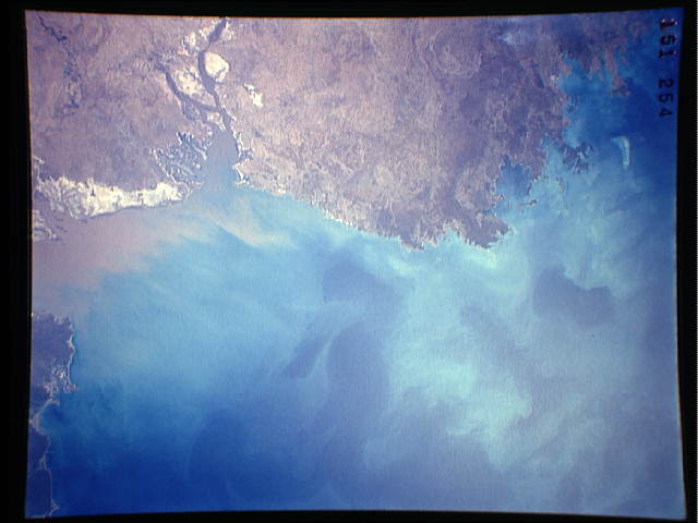
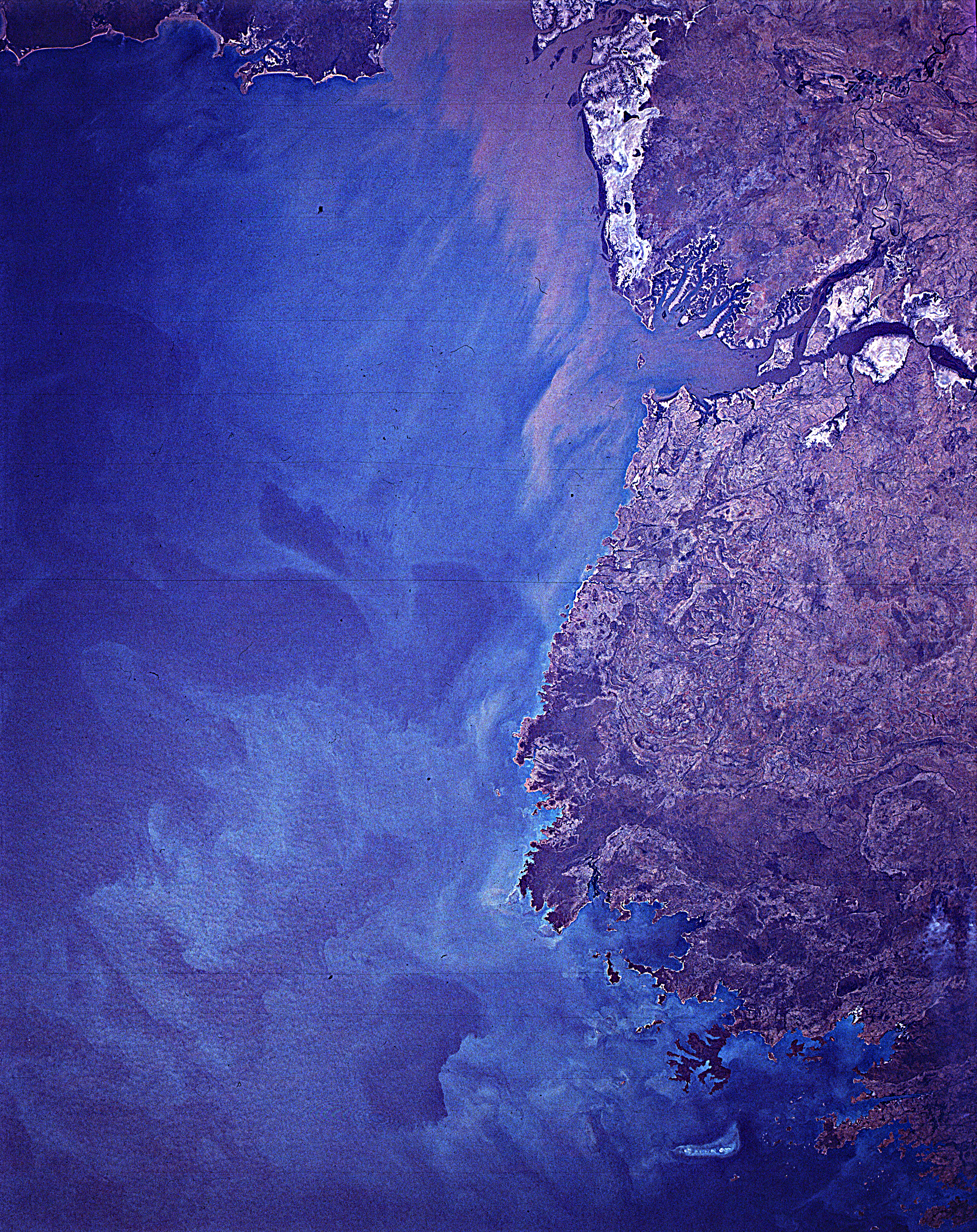
S43-151-254 - Northwestern Coast of Australia
This view of the northern coast of Western Australia shows the
low-lying coastal plains that surround much of Bonaparte Gulf.
Large plumes of sediment have been washed into the Cambridge Gulf
(along the right side of the photograph, probably from the Vic-
toria River, which flows into the Gulf just outside the photo-
graph. Linhof camera, 250mm lens, 10 August 1991, 4:53 GMT
This view of the northern coast of Western Australia shows the low lying coastal plains that surround much of Joseph Bonaparte Gulf, Western Australia, Australia (14.0S, 128.0E). Large plumes of sediment have been washed into the Cambridge Gulf, probably from the Victoria River, which flows into the Gulf, just outside the area of the photo.
S43-151-254 - Northwestern Coast of Australia
This view of the northern coast of Western Australia shows the
low-lying coastal plains that surround much of Bonaparte Gulf.
Large plumes of sediment have been washed into the Cambridge Gulf
(along the right side of the photograph, probably from the Vic-
toria River, which flows into the Gulf just outside the photo-
graph. Linhof camera, 250mm lens, 10 August 1991, 4:53 GMT
This view of the northern coast of Western Australia shows the low lying coastal plains that surround much of Joseph Bonaparte Gulf, Western Australia, Australia (14.0S, 128.0E). Large plumes of sediment have been washed into the Cambridge Gulf, probably from the Victoria River, which flows into the Gulf, just outside the area of the photo.

