< SL2-10-250 >

| NASA Photo ID | SL2-10-250 |
| Focal Length | 152mm |
| Date taken | 1973.06.10 |
| Time taken | GMT |
Cloud masks available for this image:
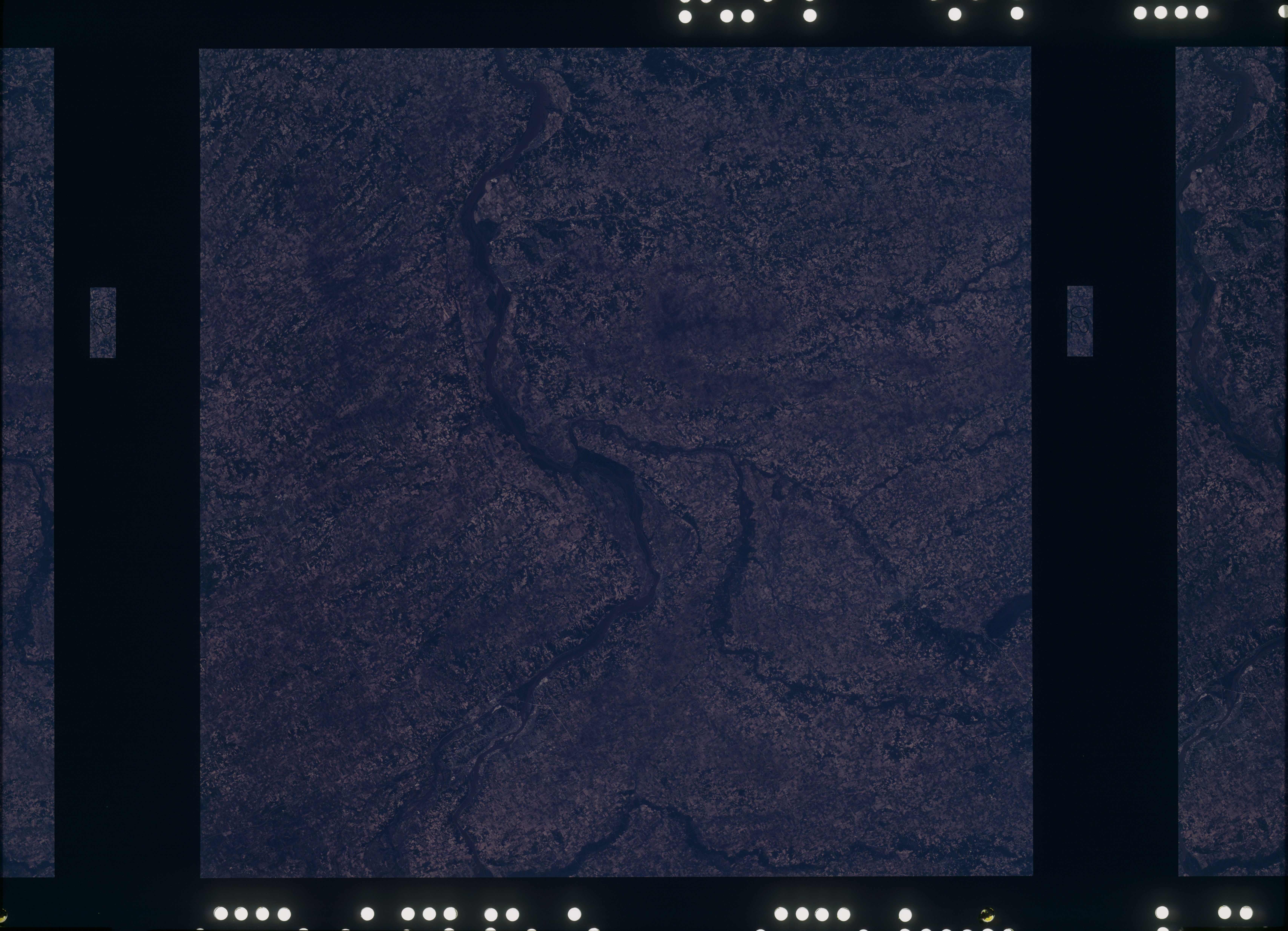
Spacecraft nadir point: 41.0° N, 90.6° W
Photo center point: 41.0° N, 90.6° W
Photo center point by machine learning:
Photo center point: 41.0° N, 90.6° W
Photo center point by machine learning:
Nadir to Photo Center:
Spacecraft Altitude: 238 nautical miles (441km)
Country or Geographic Name: | |
Features: | MISSISSIPPI RIVER, IOWA RIVER, MUSCATINE |
| Features Found Using Machine Learning: | |
Cloud Cover Percentage: | 0 (no clouds present) |
Sun Elevation Angle: | ° |
Sun Azimuth: | ° |
Camera: | Skylab Multispectral (S190A) |
Focal Length: | 152mm |
Camera Tilt: | 0 degrees |
Format: | SO356: Unknown SkyLab |
Film Exposure: | |
| Additional Information | |
| Width | Height | Annotated | Cropped | Purpose | Links |
|---|---|---|---|---|---|
| 6830 pixels | 4937 pixels | No | No | Download Image | |
| 500 pixels | 361 pixels | No | No | Download Image |
Download Packaged File
Download a Google Earth KML for this Image
View photo footprint information
No GeoTIFF is available for this photo.Image Caption: This view of the Mississippi and Iowa River Valleys (41.5N, 90.5W) shows the rich agricultural region of the upper midwest. Most of the farms occupy one statute mile squares bounded by roads that coincide with the section lines used in the township and range system of surveying practiced in the U.S. central plains, the heart of the great corn belt. Other crops grown in the region include oats, soybeans, hay and alfalfa.
