< STS086-723-25 >
| NASA Photo ID | STS086-723-25 |
| Focal Length | 100mm |
| Date taken | 1997.10.04 |
| Time taken | 18:57:35 GMT |

Cloud masks available for this image:
Spacecraft nadir point: 20.9° S, 60.4° W
Photo center point: 20.0° S, 63.5° W
Photo center point by machine learning:
Photo center point: 20.0° S, 63.5° W
Photo center point by machine learning:
Nadir to Photo Center: West
Spacecraft Altitude: 194 nautical miles (359km)
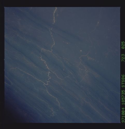
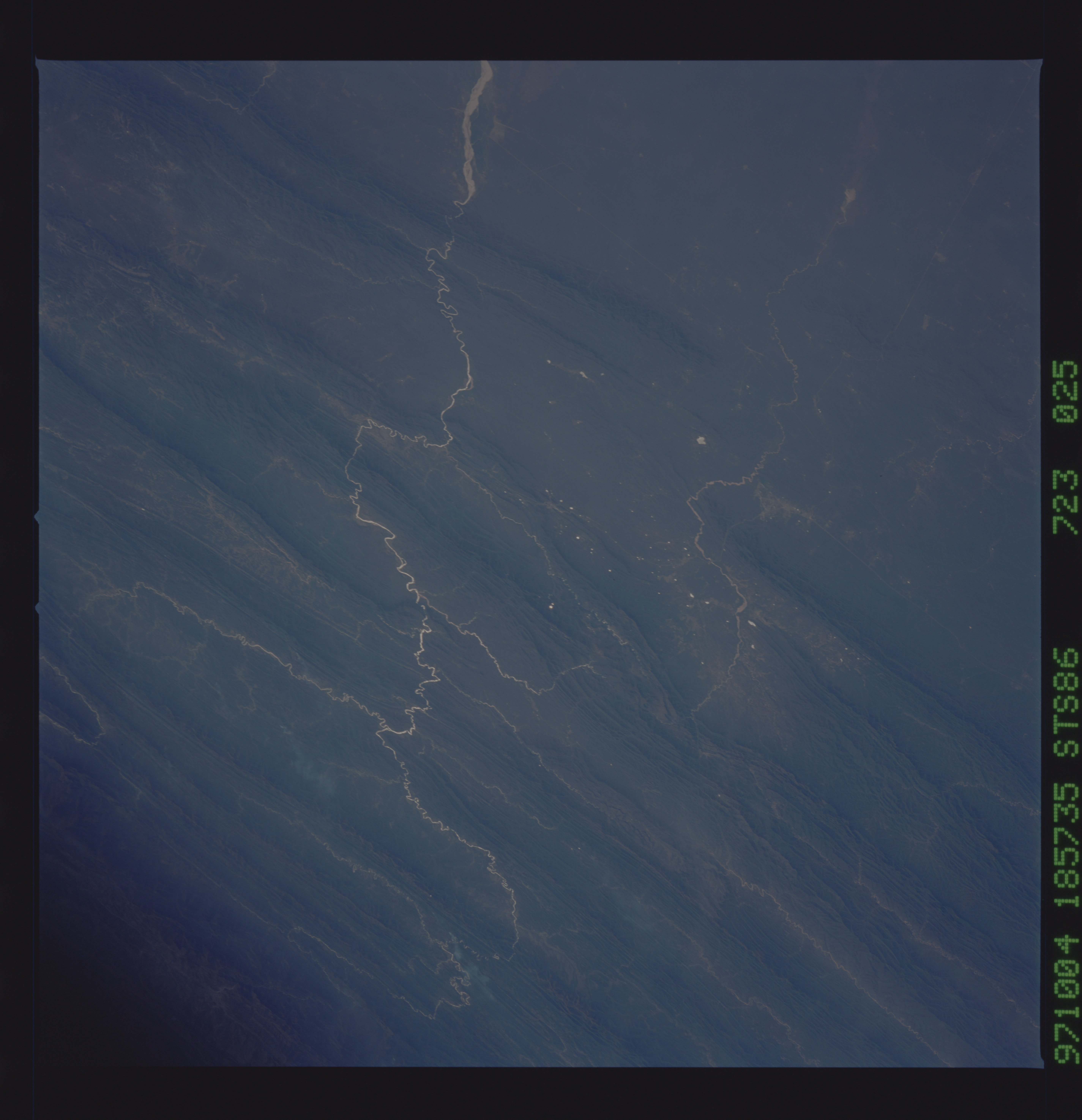
Country or Geographic Name: | BOLIVIA |
Features: | RIO PARAPETI |
| Features Found Using Machine Learning: | |
Cloud Cover Percentage: | 0 (no clouds present) |
Sun Elevation Angle: | 42° |
Sun Azimuth: | 283° |
Camera: | Hasselblad |
Focal Length: | 100mm |
Camera Tilt: | 45 degrees |
Format: | 5069: Kodak Elite 100S, E6 Reversal, Replaces Lumiere, Warmer in tone vs. Lumiere |
Film Exposure: | Normal |
| Additional Information | |
| Width | Height | Annotated | Cropped | Purpose | Links |
|---|---|---|---|---|---|
| 5700 pixels | 5900 pixels | No | No | Download Image Download Color Calibration Image for this Image |
|
| 483 pixels | 500 pixels | No | No | Download Image Download Color Calibration Image for this Image |
|
| 1288 pixels | 1278 pixels | No | No | Download Image |
Download Packaged File
Download a Google Earth KML for this Image
View photo footprint information
No GeoTIFF is available for this photo.Image Caption: Folded range along the eastern edge of the Andes in west-central Bolivia. Rio Grande o' Guapay. Sunglint points up the meandering of streams incised into bedrock; the major stream expands into a braded pattern as soon as it reaches open ground.
