< STS089-710-24 >
| NASA Photo ID | STS089-710-24 |
| Focal Length | 100mm |
| Date taken | 1998.01.30 |
| Time taken | 18:35:08 GMT |
Resolutions offered for this image:
4096 x 4061 pixels 640 x 634 pixels 5700 x 5900 pixels 483 x 500 pixels
4096 x 4061 pixels 640 x 634 pixels 5700 x 5900 pixels 483 x 500 pixels


Cloud masks available for this image:
Spacecraft nadir point: 19.4° S, 43.7° W
Photo center point: 19.5° S, 42.5° W
Photo center point by machine learning:
Photo center point: 19.5° S, 42.5° W
Photo center point by machine learning:
Nadir to Photo Center: East
Spacecraft Altitude: 195 nautical miles (361km)
Country or Geographic Name: | BRAZIL |
Features: | DOCE RIVER, FOR., IPATINGA |
| Features Found Using Machine Learning: | |
Cloud Cover Percentage: | 40 (26-50)% |
Sun Elevation Angle: | 41° |
Sun Azimuth: | 263° |
Camera: | Hasselblad |
Focal Length: | 100mm |
Camera Tilt: | 20 degrees |
Format: | 5069: Kodak Elite 100S, E6 Reversal, Replaces Lumiere, Warmer in tone vs. Lumiere |
Film Exposure: | Normal |
| Additional Information | |
| Width | Height | Annotated | Cropped | Purpose | Links |
|---|---|---|---|---|---|
| 4096 pixels | 4061 pixels | No | No | Earth From Space collection | Download Image |
| 640 pixels | 634 pixels | No | No | Earth From Space collection | Download Image |
| 5700 pixels | 5900 pixels | No | No | Download Image Download Color Calibration Image for this Image |
|
| 483 pixels | 500 pixels | No | No | Download Image Download Color Calibration Image for this Image |
Download Packaged File
Download a Google Earth KML for this Image
View photo footprint information
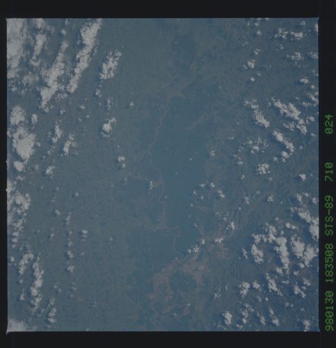
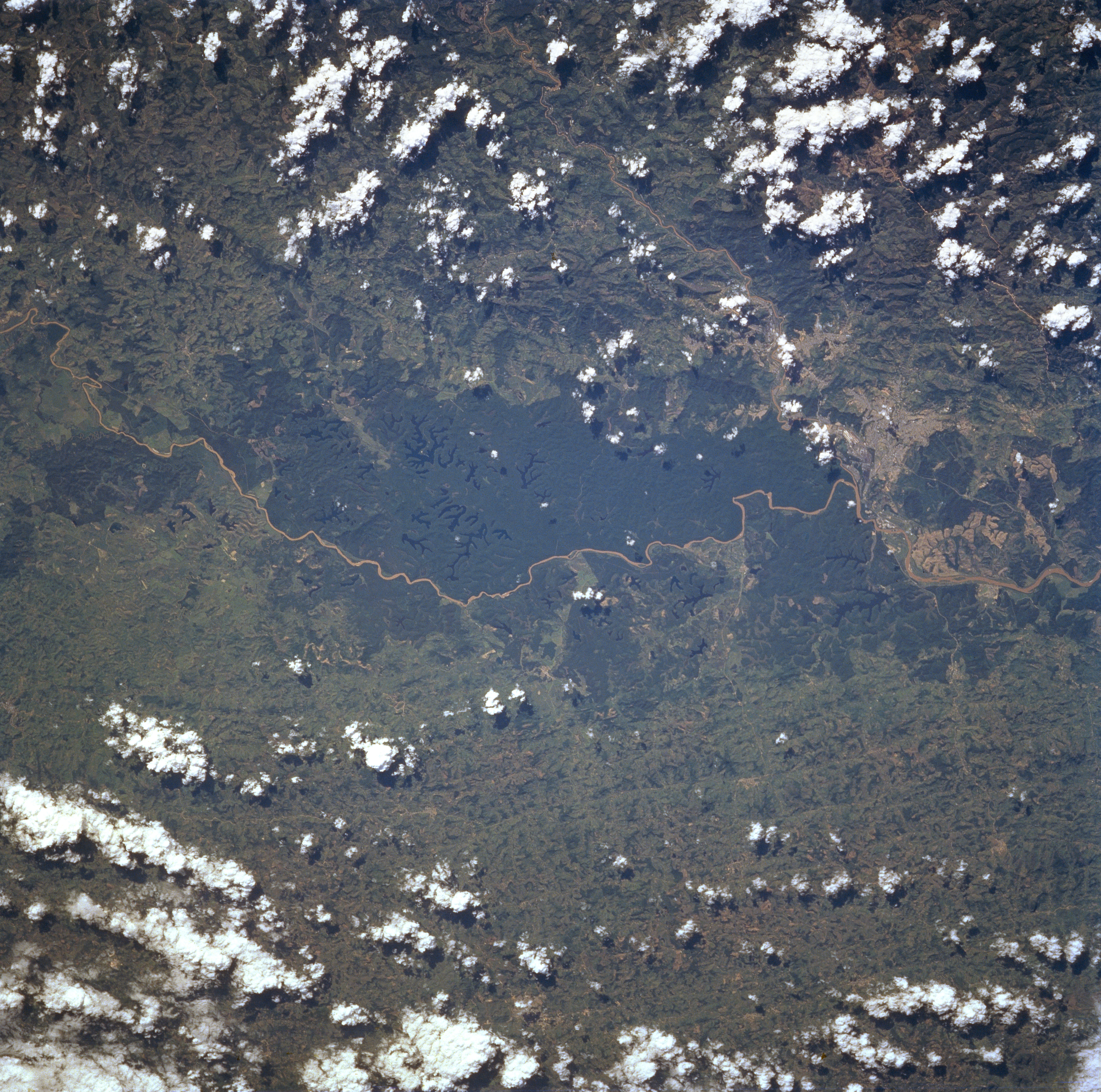
No GeoTIFF is available for this photo.Image Caption: STS089-710-024 Rio Doce, Brazil January 1998
The dark terrain in the center of the image is a heavily forested area that has numerous small lakes (very dark features) scattered throughout. The main river that winds along the east side of the forested landscape is the northeasterly flowing Rio Doce. The Rio Doce merges with another river near the right edge of the image where the two industrial cities of Coronel Fabriciano and Ipatinga (lighter colored area) can be identified. These towns are located approximately 100 miles (150 kilometers) east of Belo Horizonte in Minas Gerais state. There is a pattern of paralleling, north-south trending faults throughout the landscape to the east of the forested region.
The dark terrain in the center of the image is a heavily forested area that has numerous small lakes (very dark features) scattered throughout. The main river that winds along the east side of the forested landscape is the northeasterly flowing Rio Doce. The Rio Doce merges with another river near the right edge of the image where the two industrial cities of Coronel Fabriciano and Ipatinga (lighter colored area) can be identified. These towns are located approximately 100 miles (150 kilometers) east of Belo Horizonte in Minas Gerais state. There is a pattern of paralleling, north-south trending faults throughout the landscape to the east of the forested region.
