< STS008-38-2386 >
| NASA Photo ID | STS008-38-2386 |
| Focal Length | 100mm |
| Date taken | 1983.__.__ |
| Time taken | GMT |

Cloud masks available for this image:
Spacecraft nadir point:
Photo center point: 25.0° S, 32.0° E
Photo center point by machine learning:
Photo center point: 25.0° S, 32.0° E
Photo center point by machine learning:
Nadir to Photo Center:
Spacecraft Altitude: nautical miles (0km)
Country or Geographic Name: | MOZAMBIQUE |
Features: | RIO INCOMATI, RIO SABIE |
| Features Found Using Machine Learning: | |
Cloud Cover Percentage: | 0 (no clouds present) |
Sun Elevation Angle: | ° |
Sun Azimuth: | ° |
Camera: | Hasselblad |
Focal Length: | 100mm |
Camera Tilt: | Low Oblique |
Format: | 6017: Kodak Ektachrome 64, 220 Roll Format |
Film Exposure: | Under Exposed |
| Additional Information | |
| Width | Height | Annotated | Cropped | Purpose | Links |
|---|---|---|---|---|---|
| 4393 pixels | 4600 pixels | No | No | Download Image | |
| 478 pixels | 500 pixels | No | No | Download Image | |
| 640 pixels | 480 pixels | No | No | Download Image |
Download Packaged File
Download a Google Earth KML for this Image
View photo footprint information
No GeoTIFF is available for this photo.Image Caption:
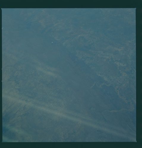
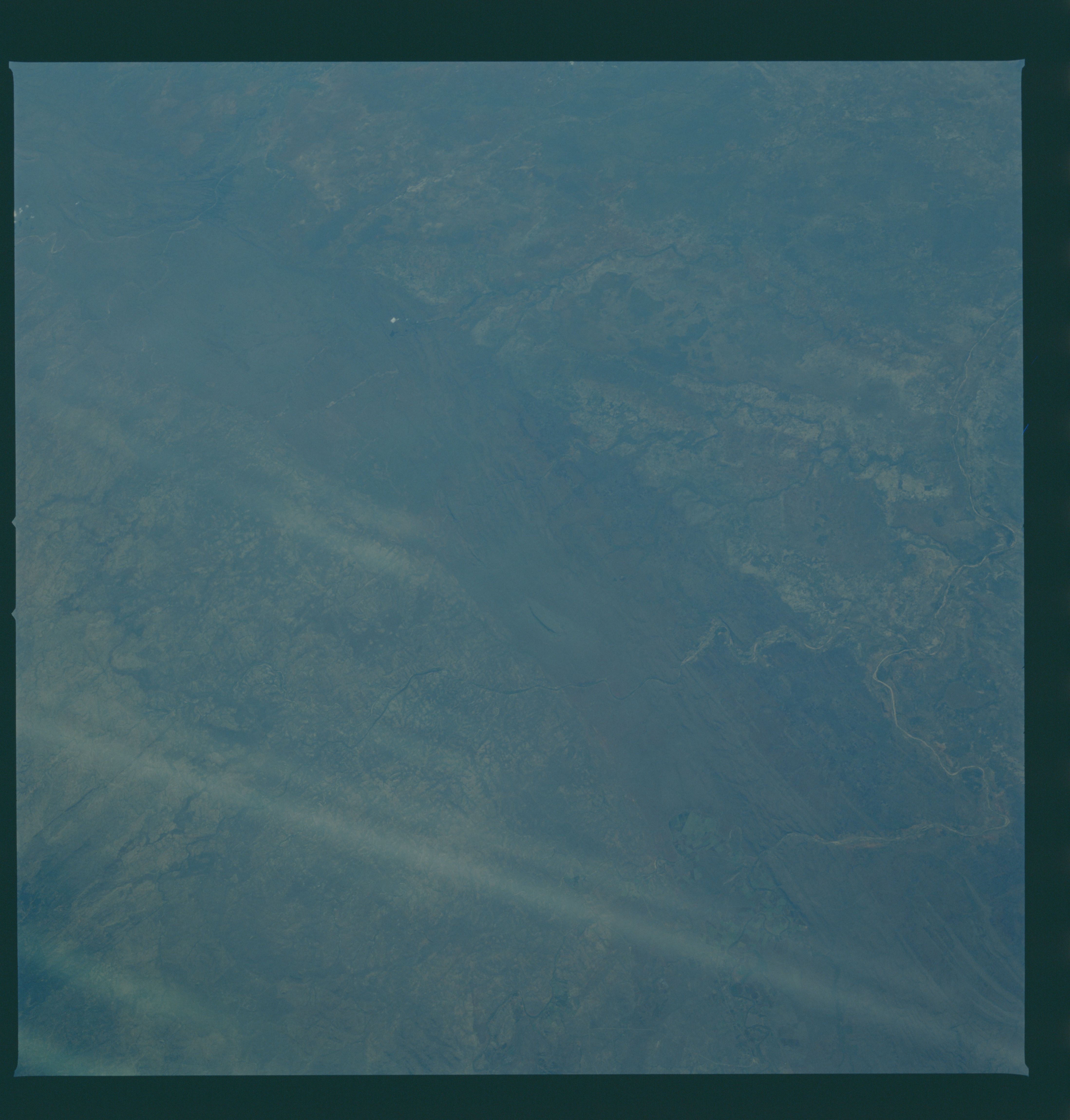
Contrasting Landscapes T36
The Komati, Sabi and Olifants Rivers (1, 2, 3) all drain eastern
South Africa; they cut through the low Lebombo Mountains (4-4)
and enter the broad coastal plains of Mozambique. The sharper,
narrower patterns west of the Mountains result from rivers flow-
ing in hard, faulted rocks; on the east side, in Mozambique,
rivers flow on their own, younger unconsolidated sediments, form-
ing very broad floodplains (5-5). Recent soil erosion allows
these areas to be more easily seen. Political accords between
South Africa and Mozambique were signed at the small border town
of Komatipoort (6) a few years ago in an attempt to quell fight-
ing in Mozambique. (S08-38-2386)
