< STS031-151-236 >
| NASA Photo ID | STS031-151-236 |
| Focal Length | 90mm |
| Date taken | 1990.04.26 |
| Time taken | 16:44:21 GMT |
Resolutions offered for this image:
640 x 480 pixels
640 x 480 pixels
Cloud masks available for this image:
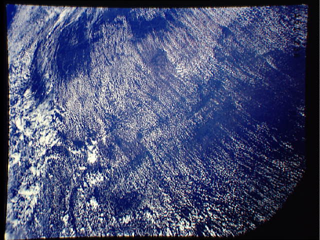
Spacecraft nadir point: 9.6° S, 50.3° W
Photo center point: 10.5° S, 48.0° W
Photo center point by machine learning:
Photo center point: 10.5° S, 48.0° W
Photo center point by machine learning:
Nadir to Photo Center: East
Spacecraft Altitude: 334 nautical miles (619km)
Country or Geographic Name: | BRAZIL |
Features: | RIO TOCANTINS |
| Features Found Using Machine Learning: | |
Cloud Cover Percentage: | 70 (51-75)% |
Sun Elevation Angle: | 58° |
Sun Azimuth: | 317° |
Camera: | Linhof |
Focal Length: | 90mm |
Camera Tilt: | 24 degrees |
Format: | QX868: Kodak, natural color positive, Ektachrome QX868(5017 emulsion), ASA 64, thin base |
Film Exposure: | Normal |
| Additional Information | |
| Width | Height | Annotated | Cropped | Purpose | Links |
|---|---|---|---|---|---|
| 640 pixels | 480 pixels | No | No | ISD 1 | Download Image |
Download Packaged File
Download a Google Earth KML for this Image
View photo footprint information
No GeoTIFF is available for this photo.Image Caption: none
