< AS17-148-22718 >
| NASA Photo ID | AS17-148-22718 |
| Focal Length | mm |
| Date taken | |
| Time taken | GMT |
Cloud masks available for this image:
Spacecraft nadir point:
Photo center point:
Photo center point by machine learning:
Photo center point:
Photo center point by machine learning:
Nadir to Photo Center:
Spacecraft Altitude: nautical miles (0km)Body:
Country or Geographic Name: | |
Features: | |
| Features Found Using Machine Learning: | |
Cloud Cover Percentage: | |
Sun Elevation Angle: | ° |
Sun Azimuth: | ° |
Camera: | |
Focal Length: | mm |
Camera Tilt: | |
Format: | |
Film Exposure: | |
| Additional Information | |
| Width | Height | Annotated | Cropped | Purpose | Links |
|---|---|---|---|---|---|
| 4400 pixels | 4600 pixels | No | No | Download Image | |
| 492 pixels | 515 pixels | No | No | Download Image |
Download Packaged File
Download a Google Earth KML for this Image
View photo footprint information
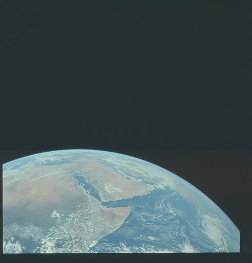
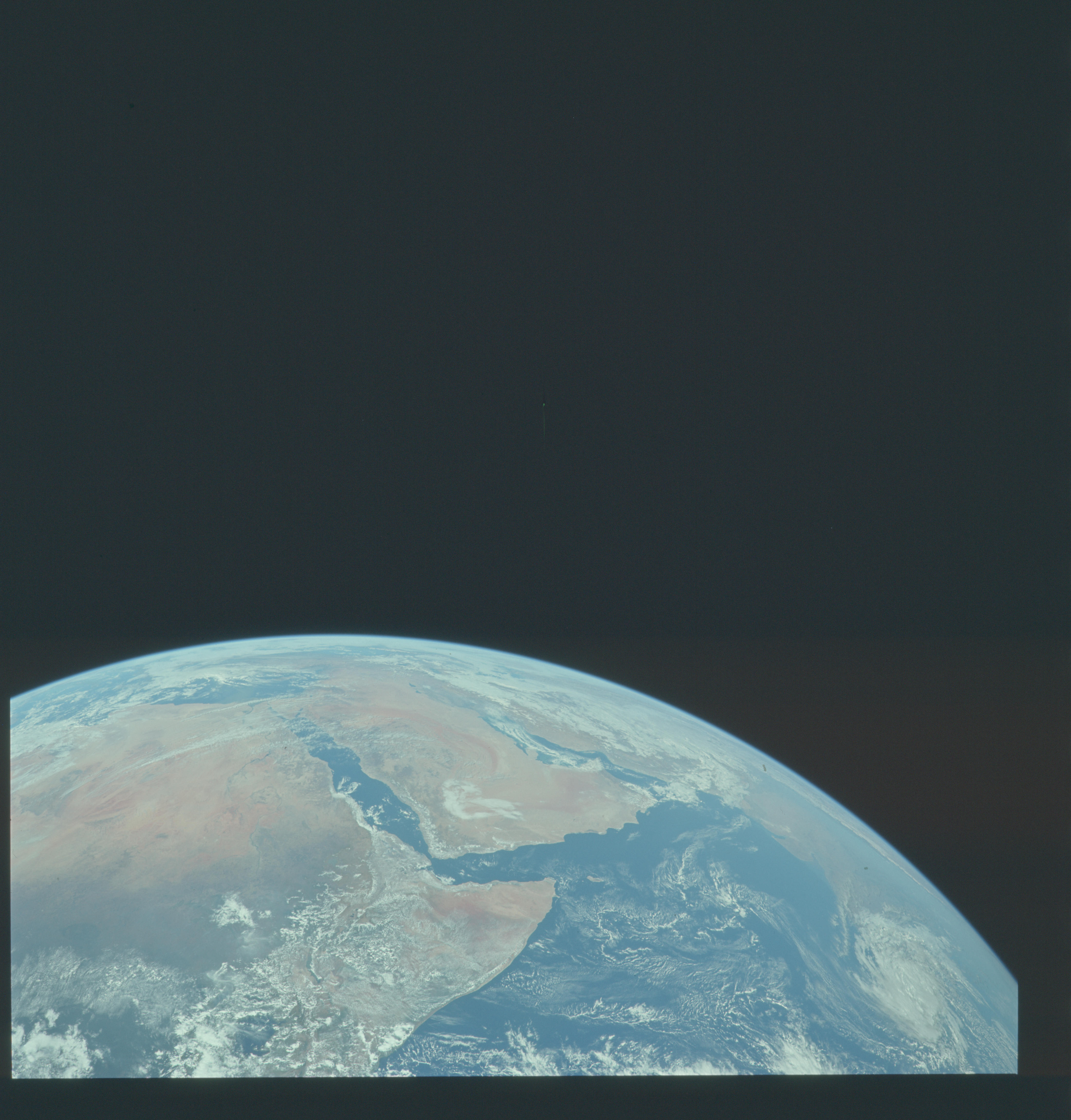
No GeoTIFF is available for this photo.Image Caption: View of Saudia Arabia and the north eastern portion of the African continent was photographed by the Apollo 17 astronauts with a hand-held camera on their translunar coast toward lunar landing. Egypt, Sudan and Ethiopia are some of the African nations visible. Iran, Iraq and Jordan are not so clearly visible because of cloud cover and their particular location in this picture. India is dimly visible at right of frame. The Red Sea is seen entirely in this one frame. The Gulf of Suez, the Dead Sea, Gulf of Aden, Persian Gulf and Gulf of Oman are also visible.

