< ISS017-E-21743 >
| NASA Photo ID | ISS017-E-21743 |
| Focal Length | 800mm |
| Date taken | 2008.10.18 |
| Time taken | 08:48:41 GMT |
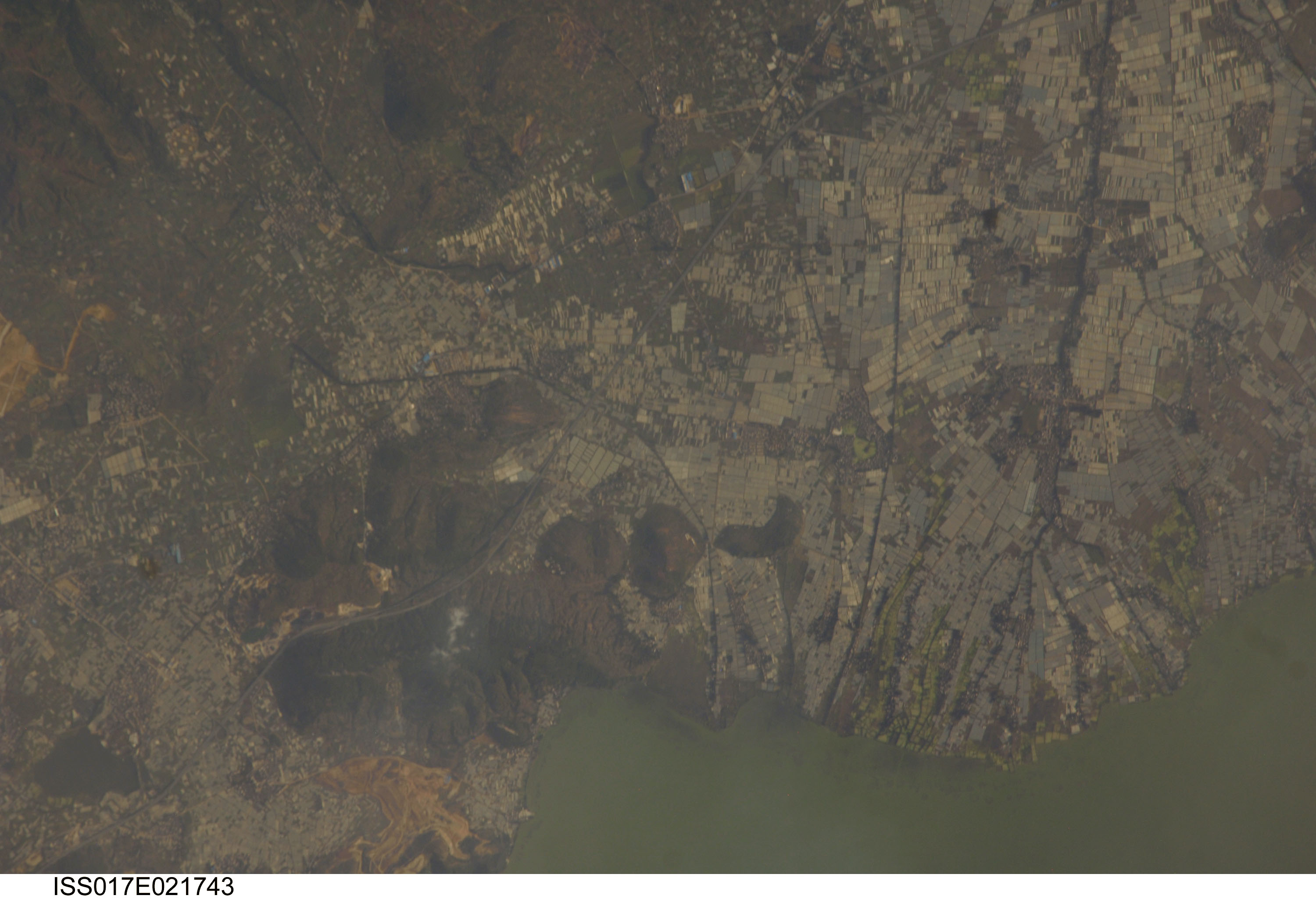


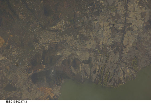
Spacecraft nadir point: 25.2° N, 103.7° E
Photo center point: 24.8° N, 102.8° E
Photo center point by machine learning:
Photo center point: 24.8° N, 102.8° E
Photo center point by machine learning:
Nadir to Photo Center: West
Spacecraft Altitude: 189 nautical miles (350km)
Country or Geographic Name: | CHINA |
Features: | HUACHENG, DIAN CHI LAKE |
| Features Found Using Machine Learning: | |
Cloud Cover Percentage: | 10 (1-10)% |
Sun Elevation Angle: | 22° |
Sun Azimuth: | 247° |
Camera: | Nikon D2Xs Electronic Still Camera |
Focal Length: | 800mm |
Camera Tilt: | 17 degrees |
Format: | 4288E: 4288 x 2848 pixel CMOS sensor, RGBG imager color filter |
Film Exposure: | |
| Additional Information | |
| Width | Height | Annotated | Cropped | Purpose | Links |
|---|---|---|---|---|---|
| 3000 pixels | 2050 pixels | No | No | Download Image | |
| 640 pixels | 437 pixels | No | No | Download Image |
Download Packaged File
Download a Google Earth KML for this Image
View photo footprint information
No GeoTIFF is available for this photo.Image Caption: none
