< STS034-71-21 >
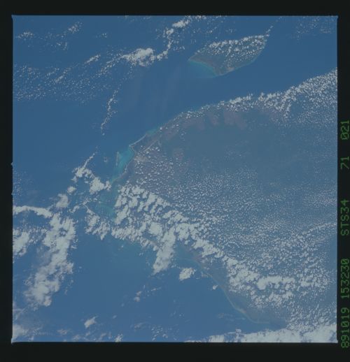
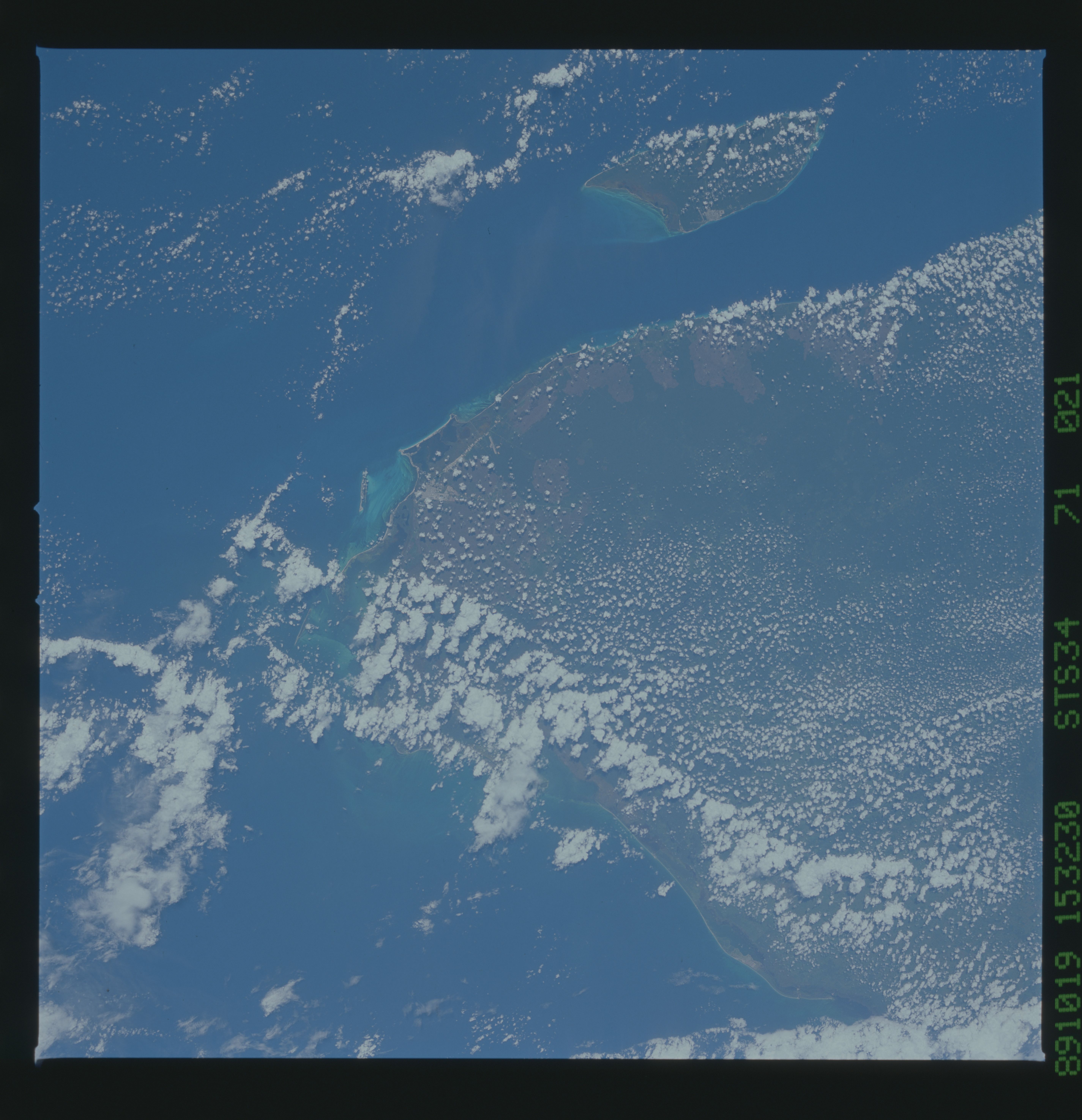
| NASA Photo ID | STS034-71-21 |
| Focal Length | 100mm |
| Date taken | 1989.10.19 |
| Time taken | 15:32:30 GMT |
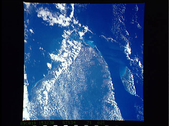
Cloud masks available for this image:
Spacecraft nadir point: 20.5° N, 86.0° W
Photo center point: 21.0° N, 87.0° W
Photo center point by machine learning:
Photo center point: 21.0° N, 87.0° W
Photo center point by machine learning:
Nadir to Photo Center: Northwest
Spacecraft Altitude: 178 nautical miles (330km)Body: Earth
Country or Geographic Name: | MEXICO |
Features: | YUCATAN TIP, COZUMEL I. |
| Features Found Using Machine Learning: | |
Cloud Cover Percentage: | 70 (51-75)% |
Sun Elevation Angle: | 48° |
Sun Azimuth: | 134° |
Camera: | Hasselblad |
Focal Length: | 100mm |
Camera Tilt: | 21 degrees |
Format: | 5017: Kodak, natural color positive, Ektachrome, X Professional, ASA 64, standard base |
Film Exposure: | Normal |
| Additional Information | |
| Width | Height | Annotated | Cropped | Purpose | Links |
|---|---|---|---|---|---|
| 5700 pixels | 5900 pixels | No | No | Download Image | |
| 500 pixels | 518 pixels | No | No | Download Image | |
| 640 pixels | 480 pixels | No | No | Download Image |
Download Packaged File
Download a Google Earth KML for this Image
View photo footprint information
No GeoTIFF is available for this photo.Image Caption:
Yucatan deforestation
These two photographs of the northeast tip of the Yucatan Penin-
sula were taken nearly four years apart, the top photograph in
November 1985, and the bottom in October 1989. Large areas of the
east coast have been recently cleared. Hurrican Gilbert hit Co-
zumel (the offshore island) and the Yucatan Peninsula in late
1988. The following spring, much of the downed timber from the
storm burned, leaving the large cleared patches seen from space.
We continue to monitor changing landuse in the Yucatan. (61A-
491-17, S34-71-21)
Yucatan deforestation
These two photographs of the northeast tip of the Yucatan Penin-
sula were taken nearly four years apart, the top photograph in
November 1985, and the bottom in October 1989. Large areas of the
east coast have been recently cleared. Hurrican Gilbert hit Co-
zumel (the offshore island) and the Yucatan Peninsula in late
1988. The following spring, much of the downed timber from the
storm burned, leaving the large cleared patches seen from space.
We continue to monitor changing landuse in the Yucatan. (61A-
491-17, S34-71-21)

