< ISS056-E-201011 >
| NASA Photo ID | ISS056-E-201011 |
| Focal Length | 1600mm |
| Date taken | 2018.06.25 |
| Time taken | 10:44:07 GMT |


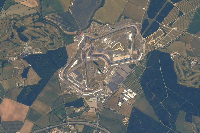
Spacecraft nadir point: 51.6° N, 1.0° W
Photo center point:
Photo center point by machine learning:
Photo center point:
Photo center point by machine learning:
Nadir to Photo Center:
Spacecraft Altitude: 216 nautical miles (400km)
Country or Geographic Name: | |
Features: | |
| Features Found Using Machine Learning: | |
Cloud Cover Percentage: | 0 (no clouds present) |
Sun Elevation Angle: | 58° |
Sun Azimuth: | 143° |
Camera: | Nikon D5 |
Focal Length: | 1600mm |
Camera Tilt: | |
Format: | |
Film Exposure: | |
| Additional Information | |
| Width | Height | Annotated | Cropped | Purpose | Links |
|---|---|---|---|---|---|
| 2324 pixels | 1549 pixels | No | No | Download Image | |
| 640 pixels | 427 pixels | No | No | Download Image |
Download Packaged File
Download a Google Earth KML for this Image
View photo footprint information
No GeoTIFF is available for this photo.Image Caption: none
