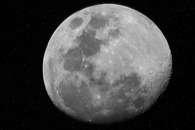
< ISS056-E-201006 >

| NASA Photo ID | ISS056-E-201006 |
| Focal Length | 500mm |
| Date taken | 2018.07.24 |
| Time taken | 23:26:59 GMT |
Cloud masks available for this image:
Spacecraft nadir point: 12.7° N, 65.8° E
Photo center point:
Photo center point by machine learning:
Photo center point:
Photo center point by machine learning:
Nadir to Photo Center:
Spacecraft Altitude: 220 nautical miles (407km)
Country or Geographic Name: | |
Features: | |
| Features Found Using Machine Learning: | |
Cloud Cover Percentage: | |
Sun Elevation Angle: | -26° |
Sun Azimuth: | 60° |
Camera: | Nikon D5 |
Focal Length: | 500mm |
Camera Tilt: | |
Format: | |
Film Exposure: | |
| Additional Information | |
| Width | Height | Annotated | Cropped | Purpose | Links |
|---|---|---|---|---|---|
| 965 pixels | 643 pixels | No | No | Download Image | |
| 640 pixels | 426 pixels | No | No | Download Image | |
| 965 pixels | 643 pixels | No | No | Download Image |
Download Packaged File
Download a Google Earth KML for this Image
View photo footprint information
No GeoTIFF is available for this photo.Image Caption: none
