< STS090-705-2 >
| NASA Photo ID | STS090-705-2 |
| Focal Length | 250mm |
| Date taken | 1998.04.17 |
| Time taken | 22:59:23 GMT |
Resolutions offered for this image:
5700 x 5900 pixels 4000 x 4024 pixels 483 x 500 pixels 478 x 479 pixels
5700 x 5900 pixels 4000 x 4024 pixels 483 x 500 pixels 478 x 479 pixels

Cloud masks available for this image:
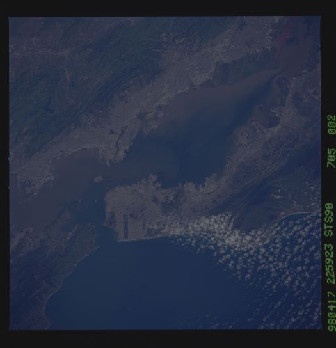
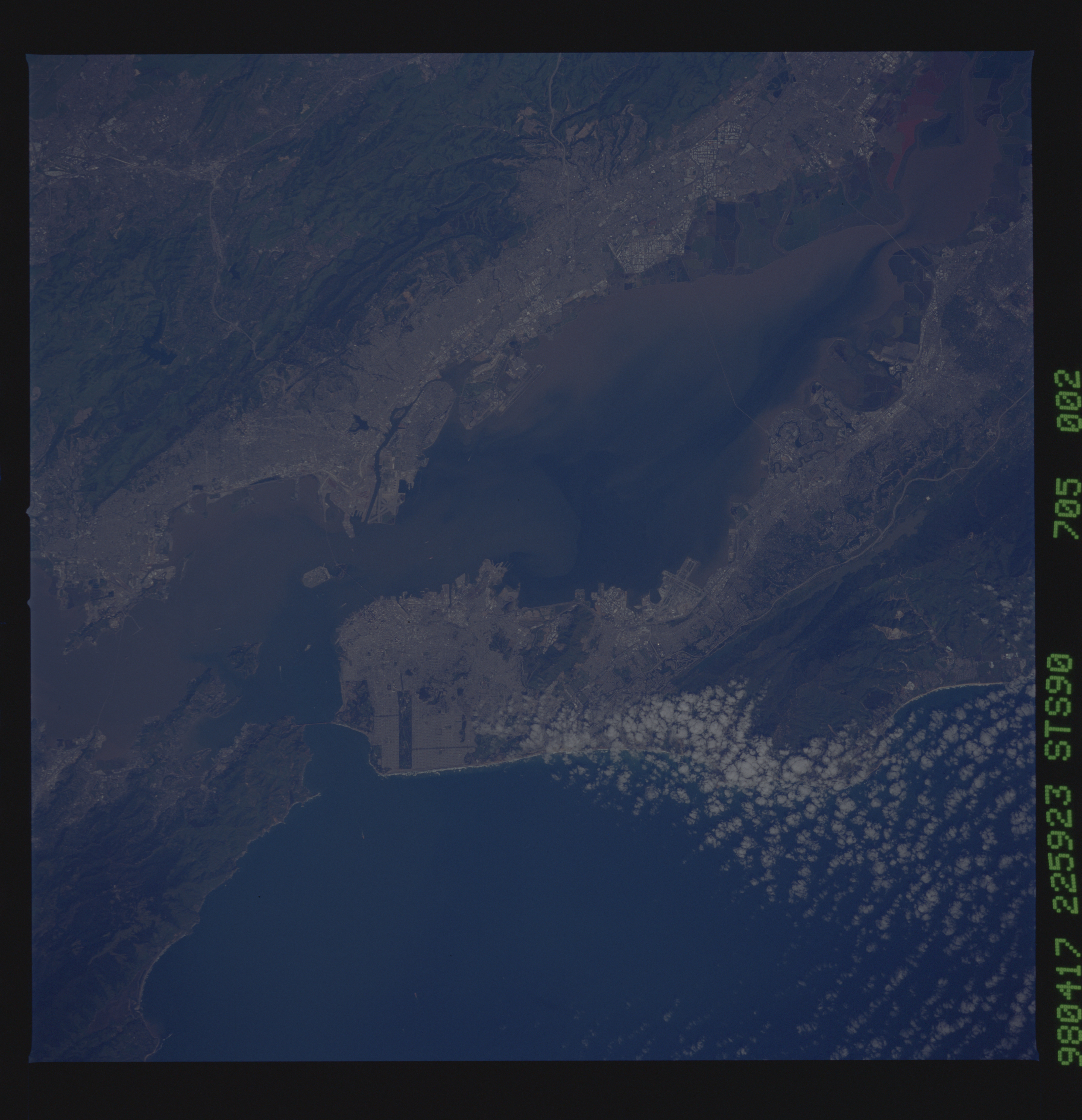
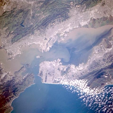
Spacecraft nadir point: 37.4° N, 123.2° W
Photo center point: 37.5° N, 122.5° W
Photo center point by machine learning:
Photo center point: 37.5° N, 122.5° W
Photo center point by machine learning:
Nadir to Photo Center: East
Spacecraft Altitude: 140 nautical miles (259km)
Country or Geographic Name: | USA-CALIFORNIA |
Features: | SAN FRANCISCO, STREETS |
| Features Found Using Machine Learning: | |
Cloud Cover Percentage: | 10 (1-10)% |
Sun Elevation Angle: | 44° |
Sun Azimuth: | 246° |
Camera: | Hasselblad |
Focal Length: | 250mm |
Camera Tilt: | 17 degrees |
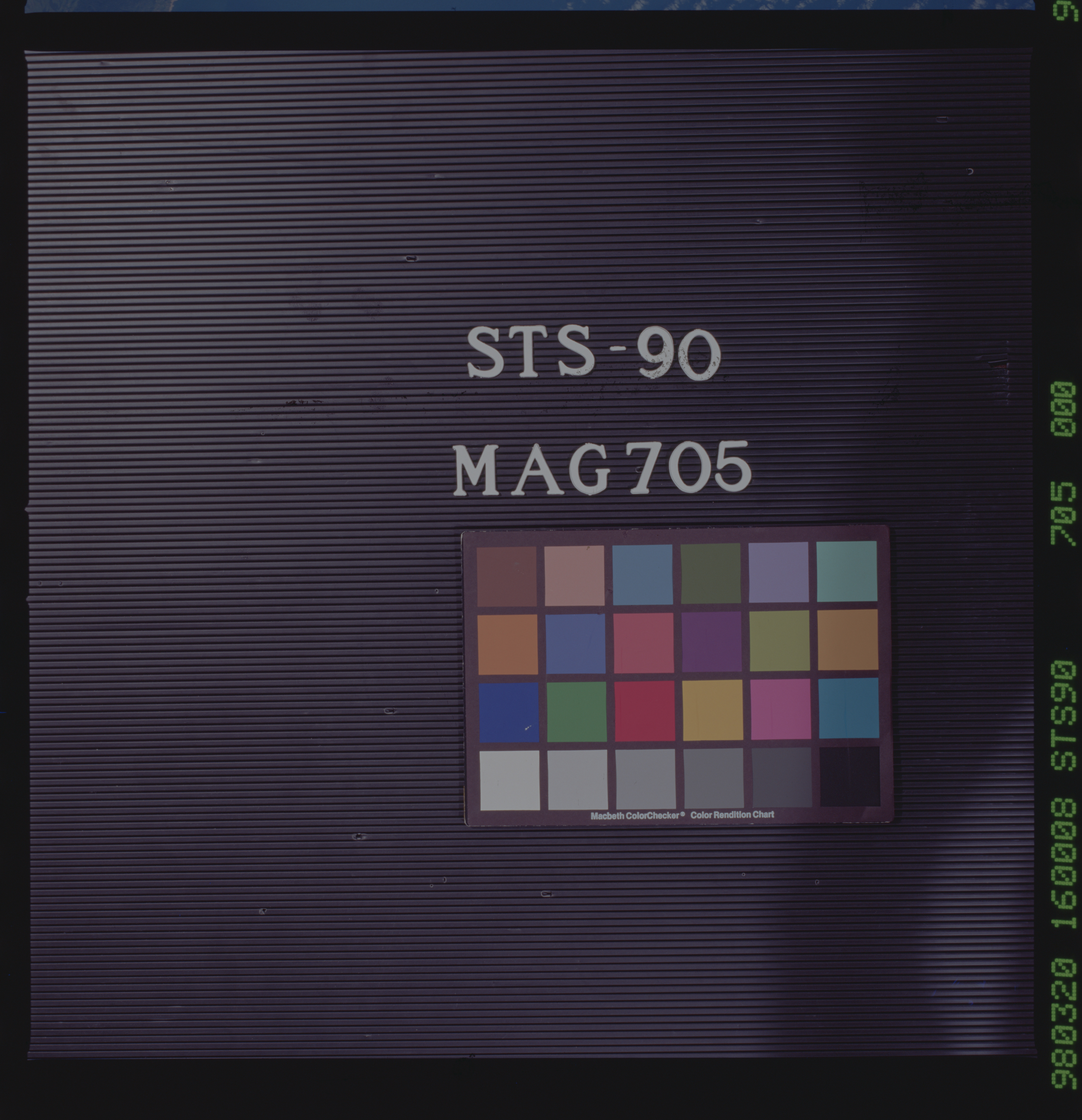
Format: | 5069: Kodak Elite 100S, E6 Reversal, Replaces Lumiere, Warmer in tone vs. Lumiere |
Film Exposure: | Normal |
| Additional Information | |
| Width | Height | Annotated | Cropped | Purpose | Links |
|---|---|---|---|---|---|
| 5700 pixels | 5900 pixels | No | No | Download Image Download Color Calibration Image for this Image |
|
| 4000 pixels | 4024 pixels | No | No | Scientist Request | Download Image |
| 483 pixels | 500 pixels | No | No | Download Image Download Color Calibration Image for this Image |
|
| 478 pixels | 479 pixels | Download Image |
Download Packaged File
Download a Google Earth KML for this Image
View photo footprint information
No GeoTIFF is available for this photo.Image Caption: none
