< STS043-96-2 >
| NASA Photo ID | STS043-96-2 |
| Focal Length | 50mm |
| Date taken | 1991.08.06 |
| Time taken | 12:53:03 GMT |
Cloud masks available for this image:
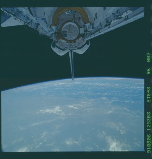
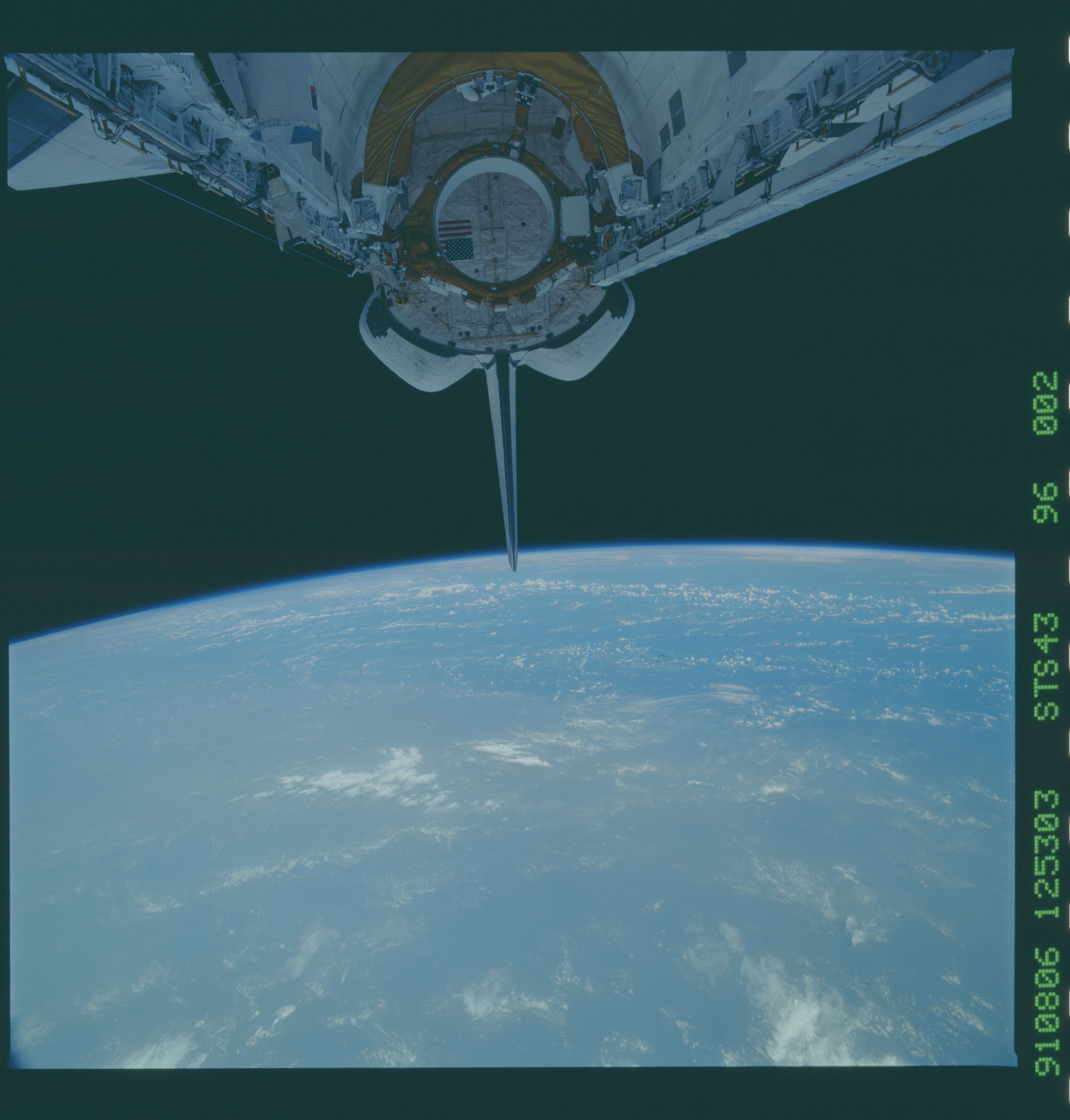
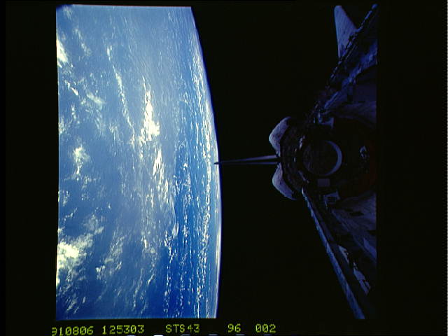
Spacecraft nadir point: 24.3° N, 44.9° W
Photo center point:
Photo center point by machine learning:
Photo center point:
Photo center point by machine learning:
Nadir to Photo Center:
Spacecraft Altitude: 173 nautical miles (320km)
Country or Geographic Name: | ATLANTIC OCEAN |
Features: | PAN-DUST BOUNDARY, SHUT. |
| Features Found Using Machine Learning: | |
Cloud Cover Percentage: | 60 (51-75)% |
Sun Elevation Angle: | 58° |
Sun Azimuth: | 97° |
Camera: | Hasselblad |
Focal Length: | 50mm |
Camera Tilt: | |
Format: | 5017: Kodak, natural color positive, Ektachrome, X Professional, ASA 64, standard base |
Film Exposure: | Normal |
| Additional Information | |
| Width | Height | Annotated | Cropped | Purpose | Links |
|---|---|---|---|---|---|
| 4396 pixels | 4600 pixels | No | No | Download Image Download Color Calibration Image for this Image |
|
| 500 pixels | 523 pixels | No | No | Download Image Download Color Calibration Image for this Image |
|
| 640 pixels | 480 pixels | No | No | Download Image |
Download Packaged File
Download a Google Earth KML for this Image
View photo footprint information
No GeoTIFF is available for this photo.Image Caption: This view of a dust cloud from a Sahara Desert, North Africa dust storm was taken over the Mid Atlantic Ocean, some 1700 miles from the African coast (24.5N, 45.0W). Dust, sand and other particulate matter from arid regions is frequently stirred up by fast blowing desert winds and carried aloft to high altitudes where it may be transported great distances, sometimes as much as half way around the world.
