< ISS036-E-19348 >
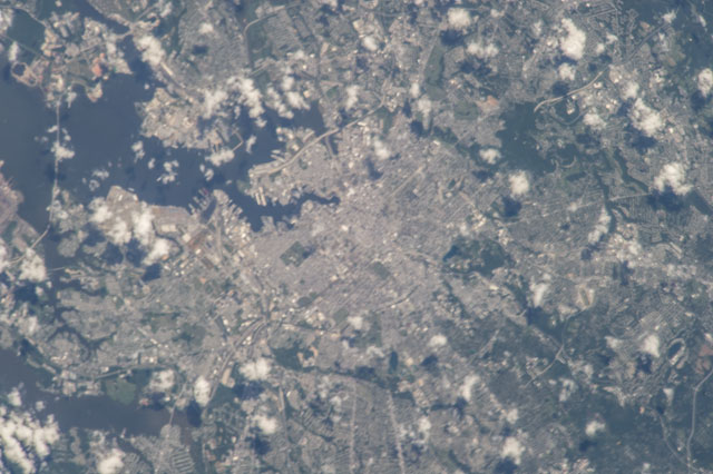
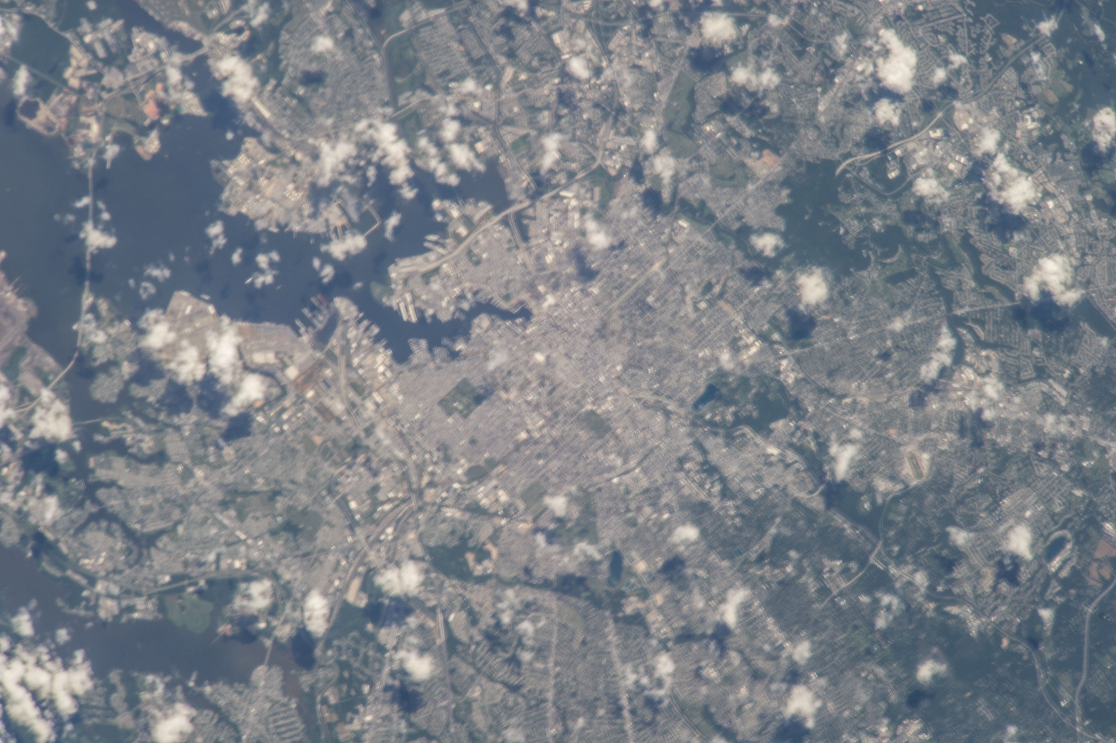
| NASA Photo ID | ISS036-E-19348 |
| Focal Length | 800mm |
| Date taken | 2013.07.15 |
| Time taken | 16:29:07 GMT |
Cloud masks available for this image:
Spacecraft nadir point: 38.6° N, 72.8° W
Photo center point: 39.3° N, 76.6° W
Photo center point by machine learning: 39.30° N, 76.61° W
Photo center point: 39.3° N, 76.6° W
Photo center point by machine learning: 39.30° N, 76.61° W
Nadir to Photo Center: West
Spacecraft Altitude: 222 nautical miles (411km)Body: Earth
Country or Geographic Name: | USA-MARYLAND |
Features: | PUBLIC INPUTS (from public image detectives, not NASA): (39.31,-76.61), UNITED STATES, MARYLAND, BALTIMORE, CHESAPEAKE BAY, FORT MCHENRY, MIDDLE BRANCH PATAPSCO RIVER, DUNDALK, BROOKLYN,BALTIMORE, MARYLAND,USA,39.294513,-76.608934,BALTIMORE,BALTIMORE, MARYLAND, FRANCIS SCOTT KET BRIDGE, PATAPSCO R., CHESAPEKE B.,CENTER POINT IS ALMOST IN THE CENTER OF BALTIMORE, MARYLAND,BALTIMORE CY., INNER HARBOR, BALTIMORE HARBOR, MARYLAND, BACK R.,USA, MARYLAND STATE, BALTIMORE CITY, CHESAPEAKE BAY,BALTIMORE, MARYLAND,BALTIMORE,BALTIMORE MD |
| Features Found Using Machine Learning: | BALTIMORE |
Cloud Cover Percentage: | 25 (11-25)% |
Sun Elevation Angle: | 72° |
Sun Azimuth: | 158° |
Camera: | Nikon D3S Electronic Still Camera |
Focal Length: | 800mm |
Camera Tilt: | 46 degrees |
Format: | 4256E: 4256 x 2832 pixel CMOS sensor, 36.0mm x 23.9mm, total pixels: 12.87 million, Nikon FX format |
Film Exposure: | |
| Additional Information | |
| Width | Height | Annotated | Cropped | Purpose | Links |
|---|---|---|---|---|---|
| 4256 pixels | 2832 pixels | No | No | Download Image | |
| 640 pixels | 426 pixels | No | No | Download Image |
Download Packaged File
Download a Google Earth KML for this Image
View photo footprint information
Download a GeoTIFF for this photo
Image Caption: none

