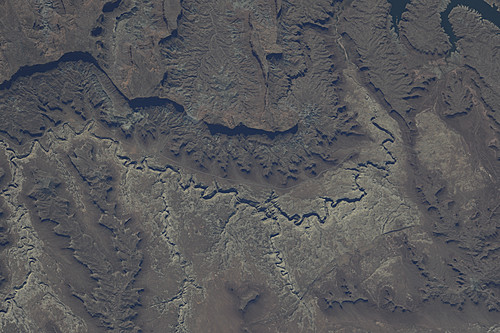
< ISS025-E-18545 >
| NASA Photo ID | ISS025-E-18545 |
| Focal Length | 1000mm |
| Date taken | 2010.09.26 |
| Time taken | 21:00:20 GMT |
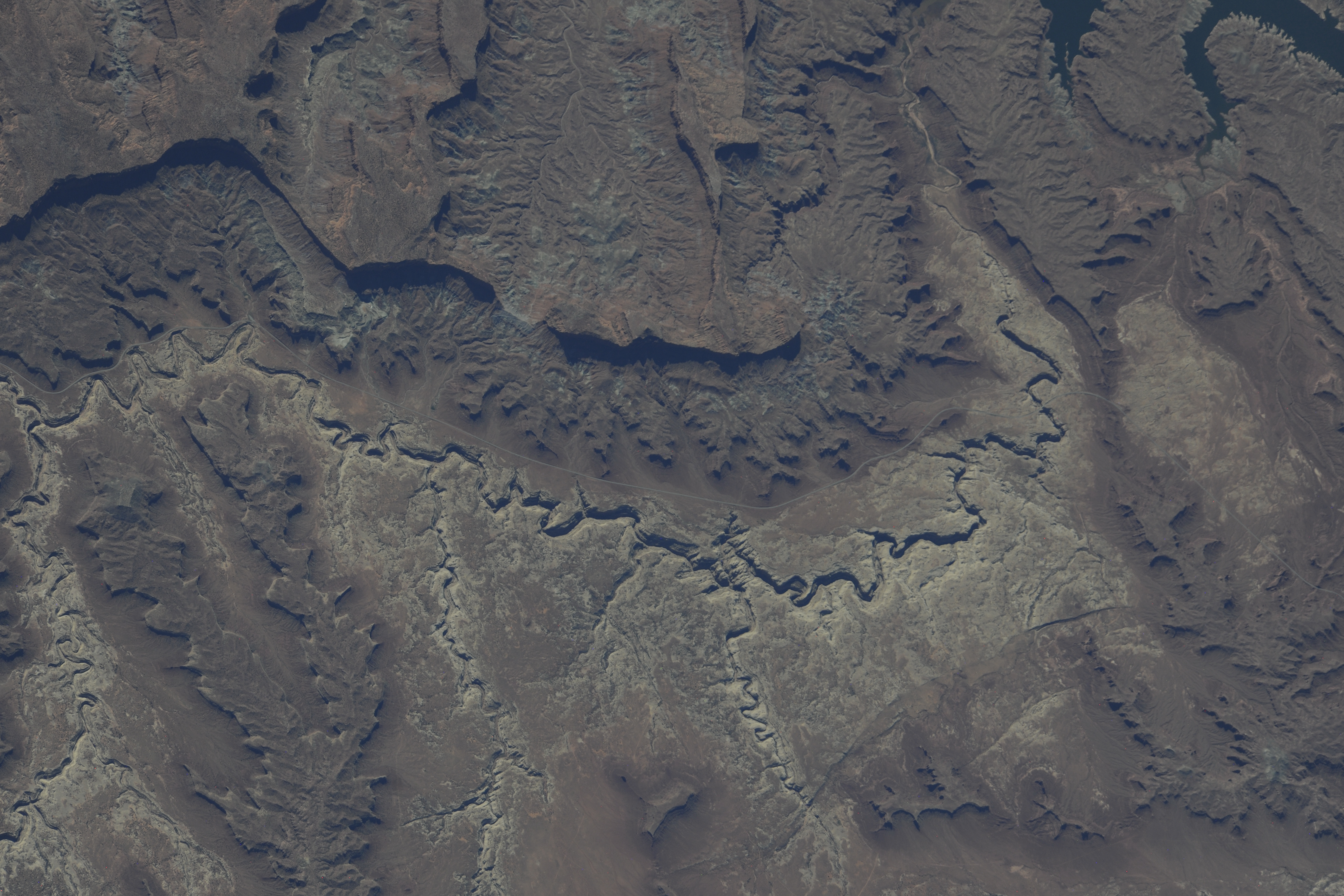


Spacecraft nadir point: 37.5° N, 107.4° W
Photo center point:
Photo center point by machine learning: 37.79° N, 110.31° W
Photo center point:
Photo center point by machine learning: 37.79° N, 110.31° W
Nadir to Photo Center:
Spacecraft Altitude: 189 nautical miles (350km)

Country or Geographic Name: | |
Features: | |
| Features Found Using Machine Learning: | |
Cloud Cover Percentage: | 1 (1-10)% |
Sun Elevation Angle: | 42° |
Sun Azimuth: | 222° |
Camera: | NIKON D3X |
Focal Length: | 1000mm |
Camera Tilt: | |
Format: | |
Film Exposure: | |
| Additional Information | Russian imagery |
| Width | Height | Annotated | Cropped | Purpose | Links |
|---|---|---|---|---|---|
| 6048 pixels | 4032 pixels | No | No | Original file from camera | Download Image |
| 500 pixels | 333 pixels | No | No | Download Image |
Download Packaged File
Download a Google Earth KML for this Image
View photo footprint information
No GeoTIFF is available for this photo.Image Caption: none
