< STS106-709-16 >
| NASA Photo ID | STS106-709-16 |
| Focal Length | 100mm |
| Date taken | 2000.09.17 |
| Time taken | 15:37:06 GMT |
Resolutions offered for this image:
1031 x 1024 pixels 2063 x 2048 pixels 4127 x 4096 pixels 4400 x 4600 pixels 635 x 640 pixels 515 x 512 pixels 478 x 500 pixels
1031 x 1024 pixels 2063 x 2048 pixels 4127 x 4096 pixels 4400 x 4600 pixels 635 x 640 pixels 515 x 512 pixels 478 x 500 pixels


Cloud masks available for this image:
Spacecraft nadir point: 45.2° N, 75.7° W
Photo center point: 39.5° N, 76.0° W
Photo center point by machine learning:
Photo center point: 39.5° N, 76.0° W
Photo center point by machine learning:
Nadir to Photo Center: South
Spacecraft Altitude: 204 nautical miles (378km)
Country or Geographic Name: | USA-MARYLAND |
Features: | PAN-APPALACHIANS, COAST |
| Features Found Using Machine Learning: | |
Cloud Cover Percentage: | 25 (11-25)% |
Sun Elevation Angle: | 44° |
Sun Azimuth: | 152° |
Camera: | Hasselblad |
Focal Length: | 100mm |
Camera Tilt: | High Oblique |
Format: | 5069: Kodak Elite 100S, E6 Reversal, Replaces Lumiere, Warmer in tone vs. Lumiere |
Film Exposure: | |
| Additional Information | |
| Width | Height | Annotated | Cropped | Purpose | Links |
|---|---|---|---|---|---|
| 1031 pixels | 1024 pixels | No | No | Download Image | |
| 2063 pixels | 2048 pixels | No | No | Download Image | |
| 4127 pixels | 4096 pixels | No | No | Download Image | |
| 4400 pixels | 4600 pixels | No | No | Download Image Download Color Calibration Image for this Image |
|
| 635 pixels | 640 pixels | No | No | Download Image | |
| 515 pixels | 512 pixels | No | No | Download Image | |
| 478 pixels | 500 pixels | No | No | Download Image Download Color Calibration Image for this Image |
Download Packaged File
Download a Google Earth KML for this Image
View photo footprint information
No GeoTIFF is available for this photo.Image Caption: Source: Kim Willis
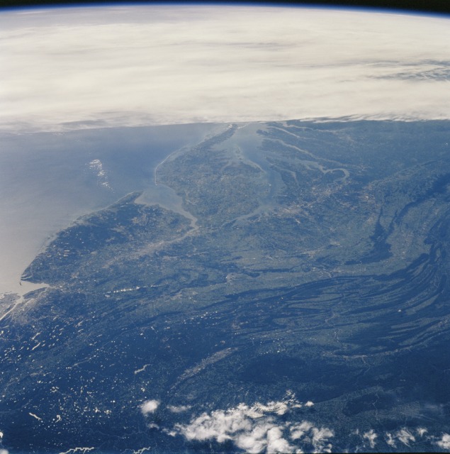
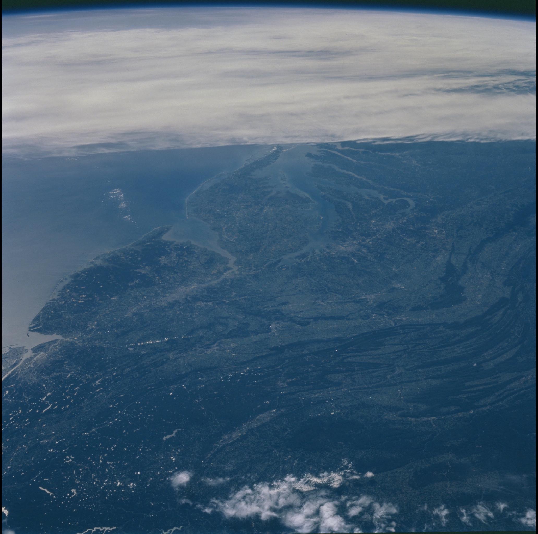
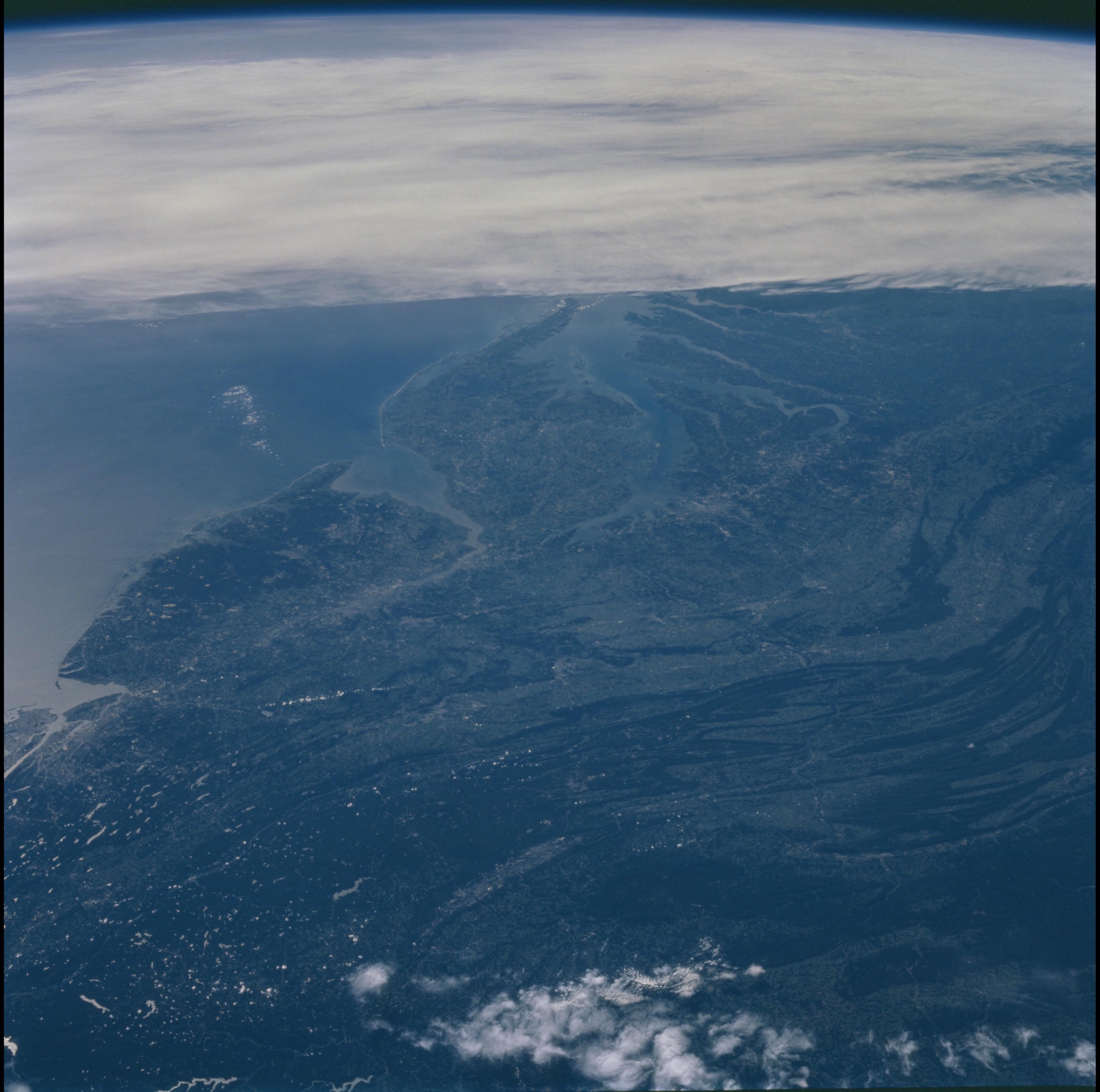
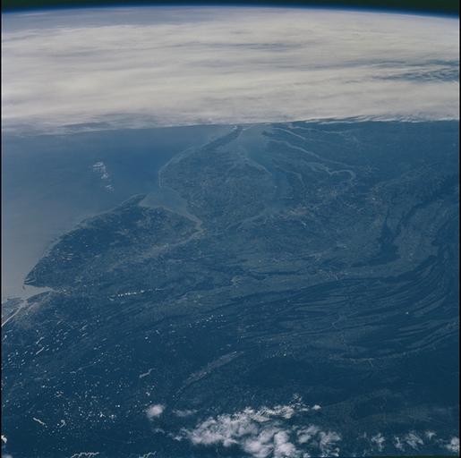
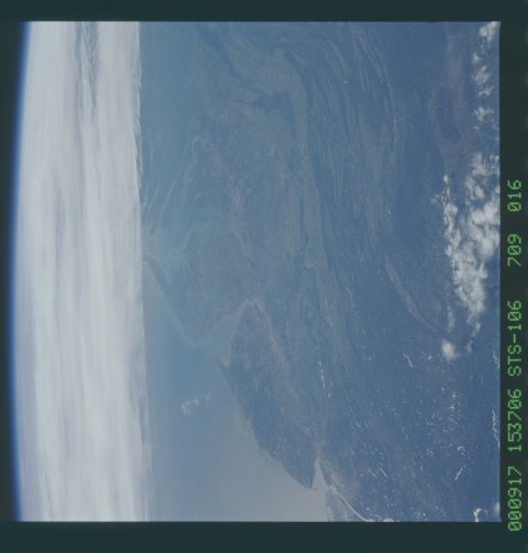
Northeastern Coast of the United States
The crew of STS-106 was probably over the Great Lakes, looking southeast
towards the coast when they took this panoramic photograph. Clouds
almost touch the southern tip of the Delmarva peninsula. To the west of
the peninsula is the Chesapeake Bay, to the north is the New Jersey
peninsula. The most prominent city visible is Baltimore, along the coast
of the Chesapeake. The Potomac River is identifiable because of its
distinctive hook-shape. At the end of the "hook" is Washington DC. The
dark green linear features further inland are the Appalachian Mountains.
