< ISS017-E-15288 >
| NASA Photo ID | ISS017-E-15288 |
| Focal Length | 400mm |
| Date taken | 2008.09.04 |
| Time taken | 15:26:51 GMT |


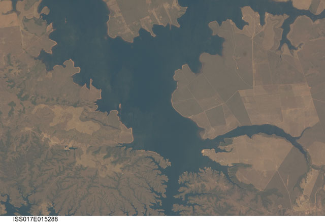
Spacecraft nadir point: 14.1° S, 55.7° W
Photo center point: 14.9° S, 55.6° W
Photo center point by machine learning:
Photo center point: 14.9° S, 55.6° W
Photo center point by machine learning:
Nadir to Photo Center: South
Spacecraft Altitude: 193 nautical miles (357km)
Country or Geographic Name: | BRAZIL |
Features: | MATO GROSSO, RES., ROADS, AGR. |
| Features Found Using Machine Learning: | |
Cloud Cover Percentage: | 10 (1-10)% |
Sun Elevation Angle: | 69° |
Sun Azimuth: | 10° |
Camera: | Nikon D2Xs Electronic Still Camera |
Focal Length: | 400mm |
Camera Tilt: | 14 degrees |
Format: | 4288E: 4288 x 2848 pixel CMOS sensor, RGBG imager color filter |
Film Exposure: | |
| Additional Information | |
| Width | Height | Annotated | Cropped | Purpose | Links |
|---|---|---|---|---|---|
| 3072 pixels | 2098 pixels | No | No | Download Image | |
| 640 pixels | 437 pixels | No | No | Download Image |
Download Packaged File
Download a Google Earth KML for this Image
View photo footprint information
No GeoTIFF is available for this photo.Image Caption: none
