ISS006-E-14092

| NASA Photo ID | ISS006-E-14092 |
| Focal Length | 400mm |
| Date taken | 2002.12.31 |
| Time taken | 07:23:52 GMT |
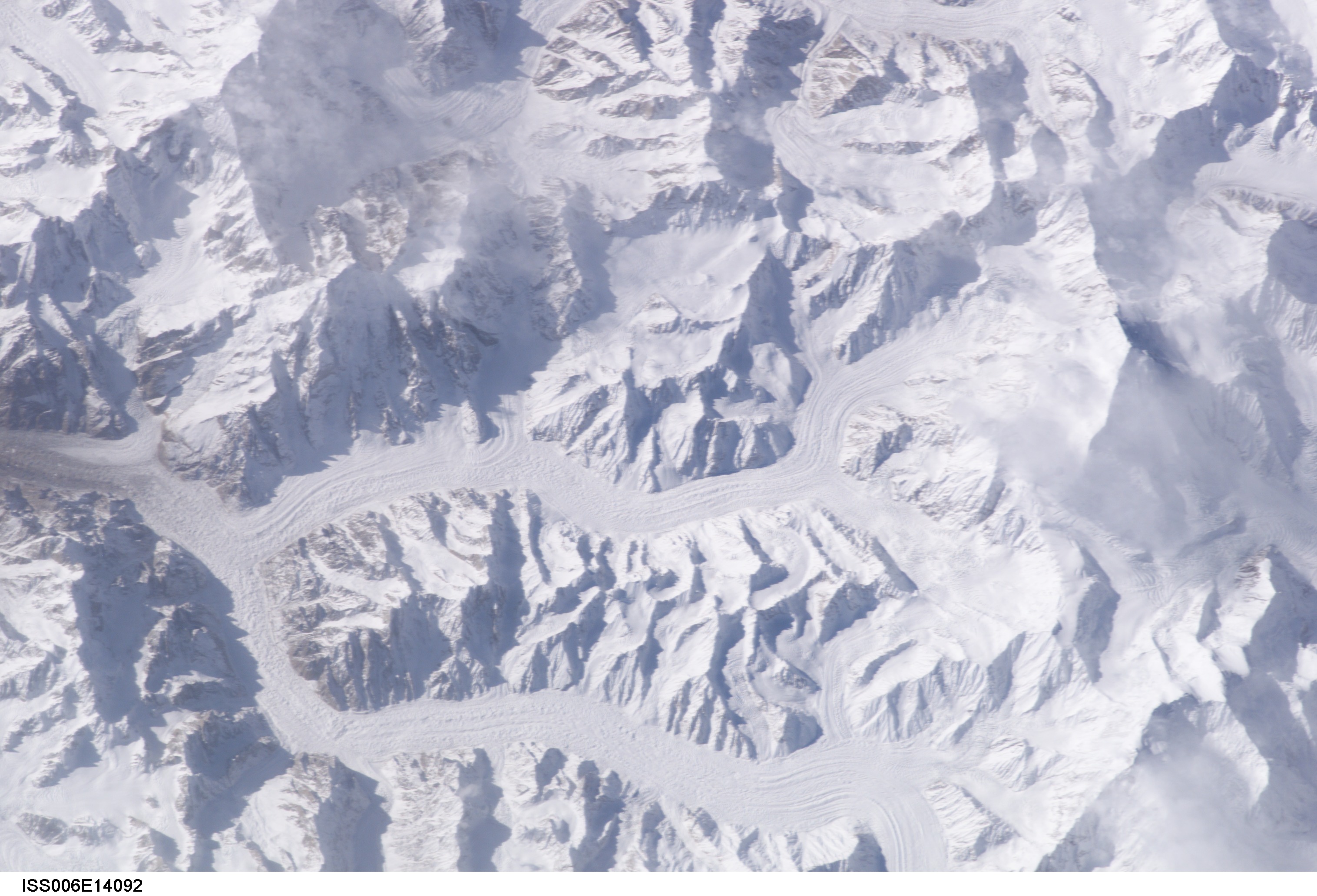


Spacecraft nadir point: 36.2° N, 77.8° E
Photo center point: 35.5° N, 76.5° E
Photo center point by machine learning:
Photo center point: 35.5° N, 76.5° E
Photo center point by machine learning:
Nadir to Photo Center: Southwest
Spacecraft Altitude: 211 nautical miles (391km)
Image Caption: none
