< STS007-24-1323 >
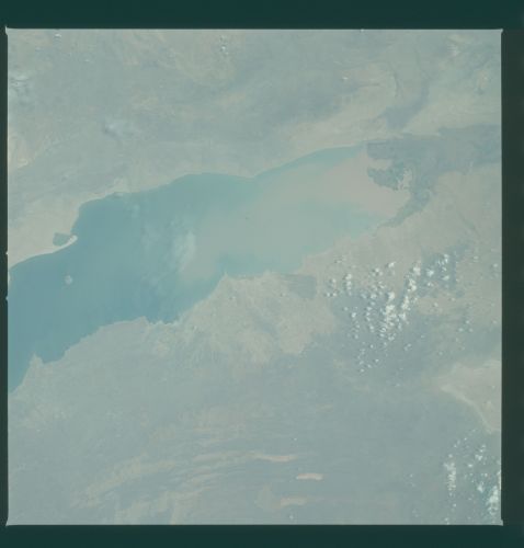
| NASA Photo ID | STS007-24-1323 |
| Focal Length | 100mm |
| Date taken | 1983.06.__ |
| Time taken | GMT |
Resolutions offered for this image:
6834 x 6921 pixels 631 x 640 pixels 4393 x 4600 pixels 478 x 500 pixels 640 x 480 pixels 1283 x 1276 pixels 633 x 628 pixels
6834 x 6921 pixels 631 x 640 pixels 4393 x 4600 pixels 478 x 500 pixels 640 x 480 pixels 1283 x 1276 pixels 633 x 628 pixels

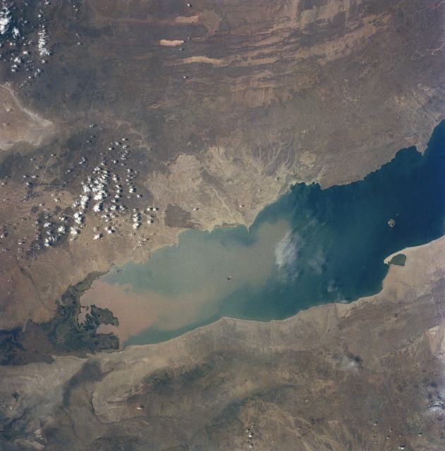

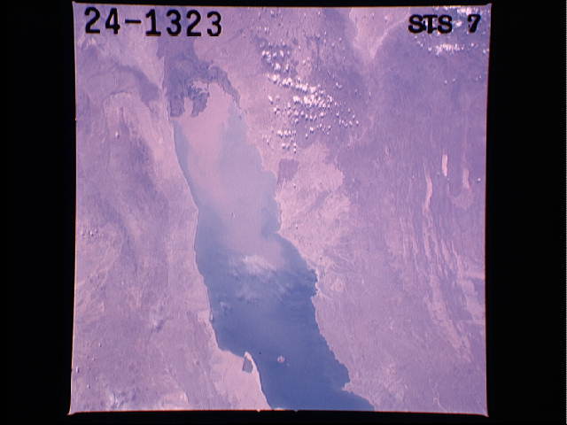


Cloud masks available for this image:
Spacecraft nadir point:
Photo center point: 4.0° N, 36.0° E
Photo center point by machine learning:
Photo center point: 4.0° N, 36.0° E
Photo center point by machine learning:
Nadir to Photo Center:
Spacecraft Altitude: nautical miles (0km)Body: Earth
Country or Geographic Name: | KENYA |
Features: | LAKE RUDOLF |
| Features Found Using Machine Learning: | |
Cloud Cover Percentage: | 2 (1-10)% |
Sun Elevation Angle: | ° |
Sun Azimuth: | ° |
Camera: | Hasselblad |
Focal Length: | 100mm |
Camera Tilt: | Low Oblique |
Format: | 5017: Kodak, natural color positive, Ektachrome, X Professional, ASA 64, standard base |
Film Exposure: | Over Exposed |
| Additional Information | |
| Width | Height | Annotated | Cropped | Purpose | Links |
|---|---|---|---|---|---|
| 6834 pixels | 6921 pixels | No | No | Earth From Space collection | Download Image |
| 631 pixels | 640 pixels | No | No | Earth From Space collection | Download Image |
| 4393 pixels | 4600 pixels | No | No | Download Image | |
| 478 pixels | 500 pixels | No | No | Download Image | |
| 640 pixels | 480 pixels | No | No | Download Image | |
| 1283 pixels | 1276 pixels | No | No | Download Image | |
| 633 pixels | 628 pixels | No | No | Download Image |
Download Packaged File
Download a Google Earth KML for this Image
View photo footprint information
No GeoTIFF is available for this photo.Image Caption:
T-34 FIG CAPS Lake Turkana and the Omo River Delta S28-78-
96,97,98 S07-24-1323
The changing Omo River Delta is under study using Space Shuttle
photography. The Omo River is a fault-controlled drainage and
empties from the southern highlands of Ethiopa, a region which
includes both subsistence farming and large coffee plantations.
The size of the delta built into Lake Turkana has increased
several-fold over the past 25 years. The ONC map, based on 1966
survey data, shows the size of the delta (1) at roughly 445
square km.
The size and shape of the delta has changed in the photograph
taken in 1983 on STS-7 (2) , as well as on the STS-28 photomo-
saic (3). By late 1989, the delta size is estimated to be ap-
proximately 1800 square km . Two contributing factors to the
changing delta are lowered water levels in Lake Turkana, and in-
creased siltation from the Omo River. The silt load of the river
is great, as these photographs indicate (4). However, it is
still unclear if the silt load has increased in recent years,
perhaps in response to changing landuses upstream. The lake lev-
el has dropped significantly over the past few years, evidenced
by the old shorelines (5) and dried lagoon (6) on the STS-28 pho-
tomosaic.
T-34 FIG CAPS Lake Turkana and the Omo River Delta S28-78-
96,97,98 S07-24-1323
The changing Omo River Delta is under study using Space Shuttle
photography. The Omo River is a fault-controlled drainage and
empties from the southern highlands of Ethiopa, a region which
includes both subsistence farming and large coffee plantations.
The size of the delta built into Lake Turkana has increased
several-fold over the past 25 years. The ONC map, based on 1966
survey data, shows the size of the delta (1) at roughly 445
square km.
The size and shape of the delta has changed in the photograph
taken in 1983 on STS-7 (2) , as well as on the STS-28 photomo-
saic (3). By late 1989, the delta size is estimated to be ap-
proximately 1800 square km . Two contributing factors to the
changing delta are lowered water levels in Lake Turkana, and in-
creased siltation from the Omo River. The silt load of the river
is great, as these photographs indicate (4). However, it is
still unclear if the silt load has increased in recent years,
perhaps in response to changing landuses upstream. The lake lev-
el has dropped significantly over the past few years, evidenced
by the old shorelines (5) and dried lagoon (6) on the STS-28 pho-
tomosaic.

