< ISS004-E-13061 >

| NASA Photo ID | ISS004-E-13061 |
| Focal Length | 400mm |
| Date taken | 2002.06.05 |
| Time taken | 20:24:48 GMT |
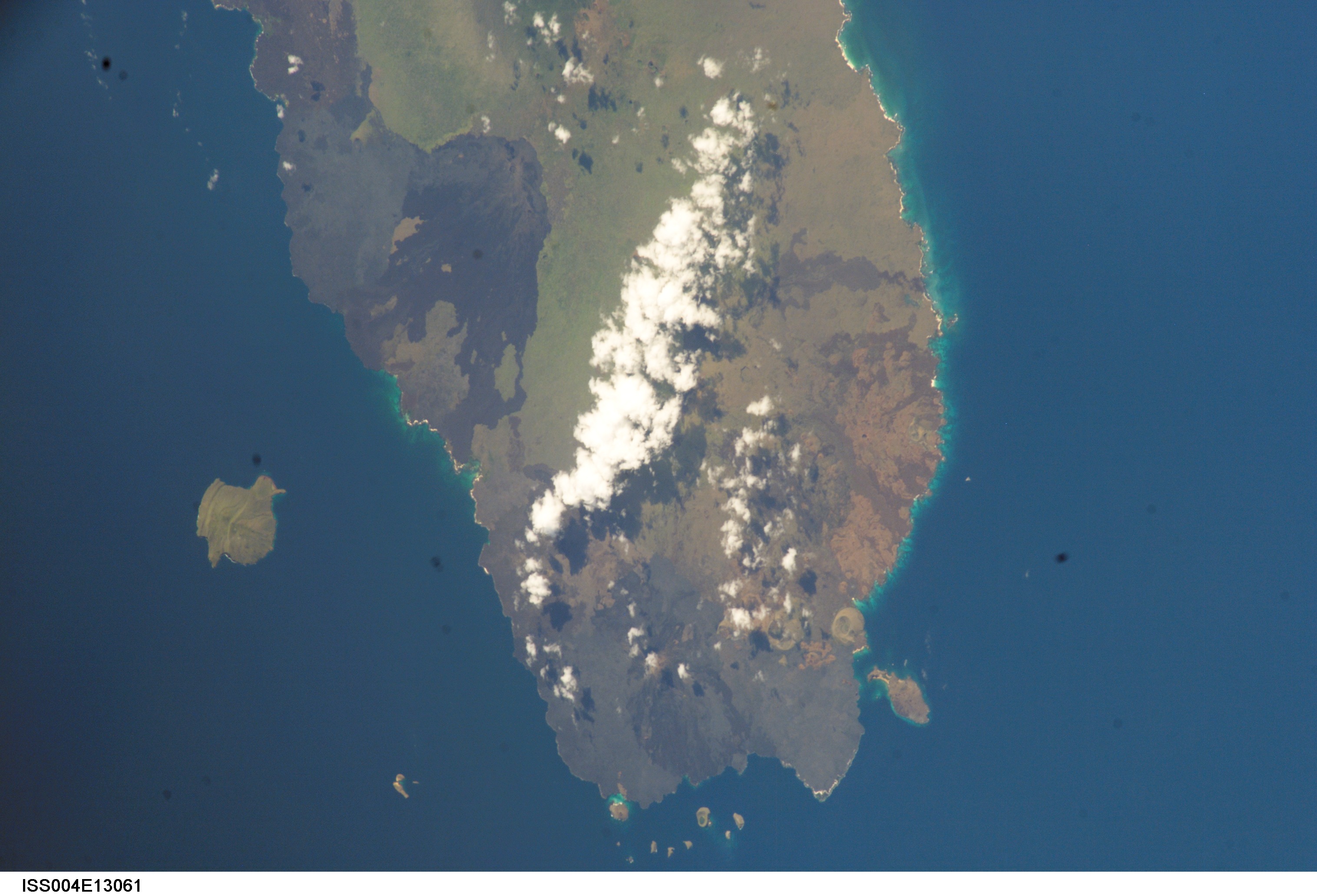


Spacecraft nadir point: 0.4° S, 90.7° W
Photo center point: 0.0° N, 91.0° W
Photo center point by machine learning: 0.30° S, 90.64° W
Photo center point: 0.0° N, 91.0° W
Photo center point by machine learning: 0.30° S, 90.64° W
Nadir to Photo Center: Northwest
Spacecraft Altitude: 211 nautical miles (391km)

Image Caption: none
