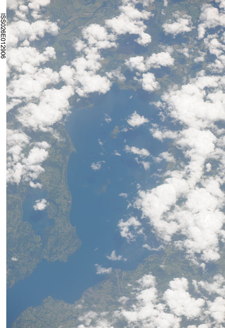
< ISS026-E-12906 >
| NASA Photo ID | ISS026-E-12906 |
| Focal Length | 800mm |
| Date taken | 2010.12.26 |
| Time taken | 17:21:45 GMT |


Spacecraft nadir point: 38.6° S, 69.4° W
Photo center point:
Photo center point by machine learning:
Photo center point:
Photo center point by machine learning:
Nadir to Photo Center:
Spacecraft Altitude: 194 nautical miles (359km)
Country or Geographic Name: | |
Features: | |
| Features Found Using Machine Learning: | |
Cloud Cover Percentage: | 43 (26-50)% |
Sun Elevation Angle: | 72° |
Sun Azimuth: | 325° |
Camera: | NIKON D3X S/N: 5021042 |
Focal Length: | 800mm |
Camera Tilt: | |
Format: | |
Film Exposure: | |
| Additional Information | |
| Width | Height | Annotated | Cropped | Purpose | Links |
|---|---|---|---|---|---|
| 4147 pixels | 6048 pixels | No | No | Download Image | |
| 439 pixels | 640 pixels | No | No | Download Image |
Download Packaged File
Download a Google Earth KML for this Image
View photo footprint information
No GeoTIFF is available for this photo.Image Caption: none
