< STS127-E-12763 >

| NASA Photo ID | STS127-E-12763 |
| Focal Length | 80mm |
| Date taken | 2009.07.30 |
| Time taken | 11:24:34 GMT |
Cloud masks available for this image:
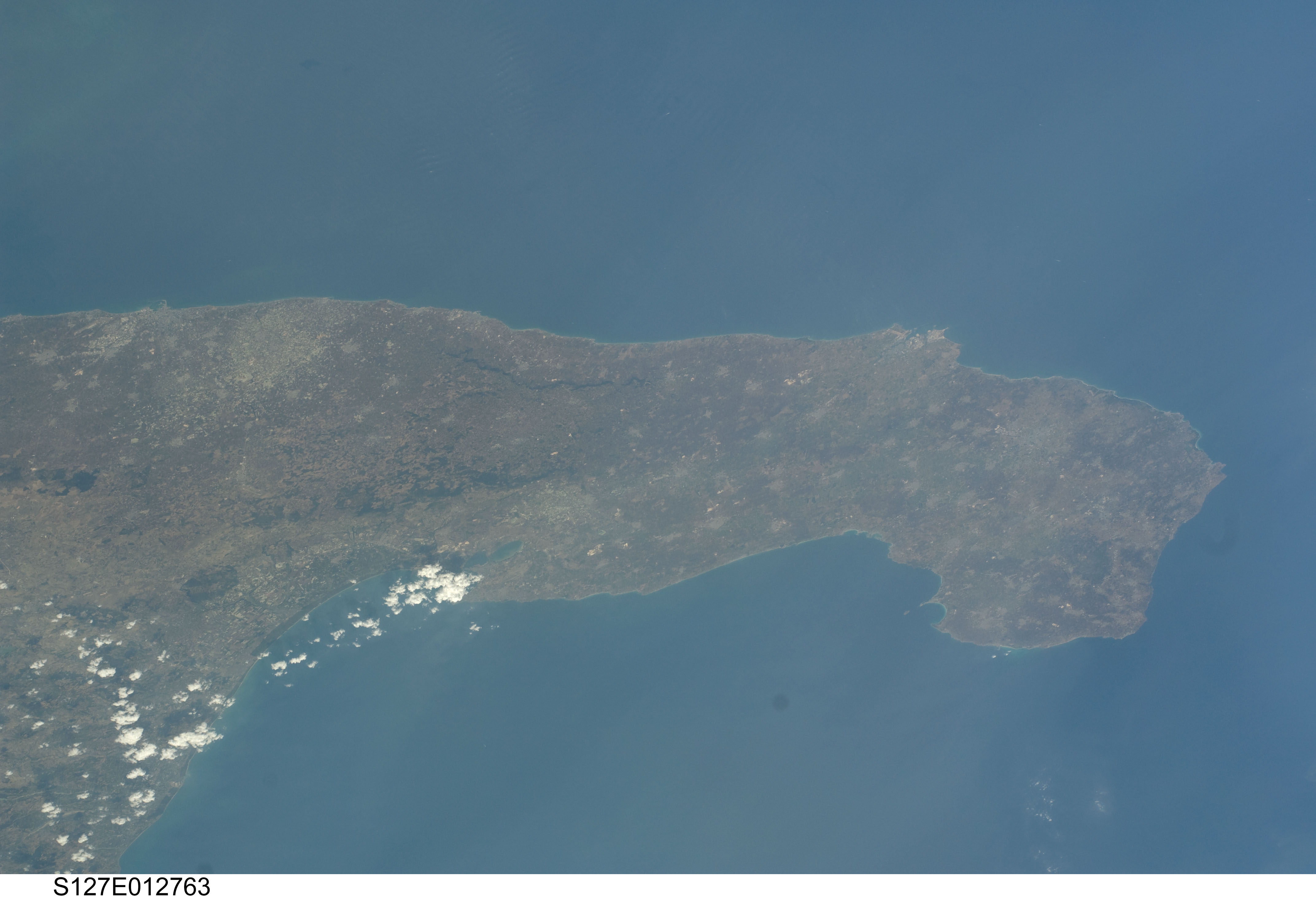
Spacecraft nadir point: 44.9° N, 16.8° E
Photo center point:
Photo center point by machine learning:
Photo center point:
Photo center point by machine learning:
Nadir to Photo Center:
Spacecraft Altitude: 174 nautical miles (322km)
Country or Geographic Name: | |
Features: | |
| Features Found Using Machine Learning: | |
Cloud Cover Percentage: | 1 (1-10)% |
Sun Elevation Angle: | 63° |
Sun Azimuth: | 193° |
Camera: | NIKON |
Focal Length: | 80mm |
Camera Tilt: | |
Format: | |
Film Exposure: | |
| Additional Information | |
| Width | Height | Annotated | Cropped | Purpose | Links |
|---|---|---|---|---|---|
| 4288 pixels | 2929 pixels | No | No | Download Image | |
| 640 pixels | 437 pixels | No | No | Download Image |
Download Packaged File
Download a Google Earth KML for this Image
View photo footprint information
No GeoTIFF is available for this photo.Georeferenced by human interaction - exported 2016-08-18-212727-UTC
Georeferenced by human interaction - exported 2016-08-23-232424-UTC
Georeferenced by human interaction - exported 2018-01-16-141435-UTC
An explanation of the georeference file(s) above
Image Caption: none
