< STS132-E-12750 >

| NASA Photo ID | STS132-E-12750 |
| Focal Length | 10mm |
| Date taken | 2010.05.25 |
| Time taken | 11:15:39 GMT |
Cloud masks available for this image:
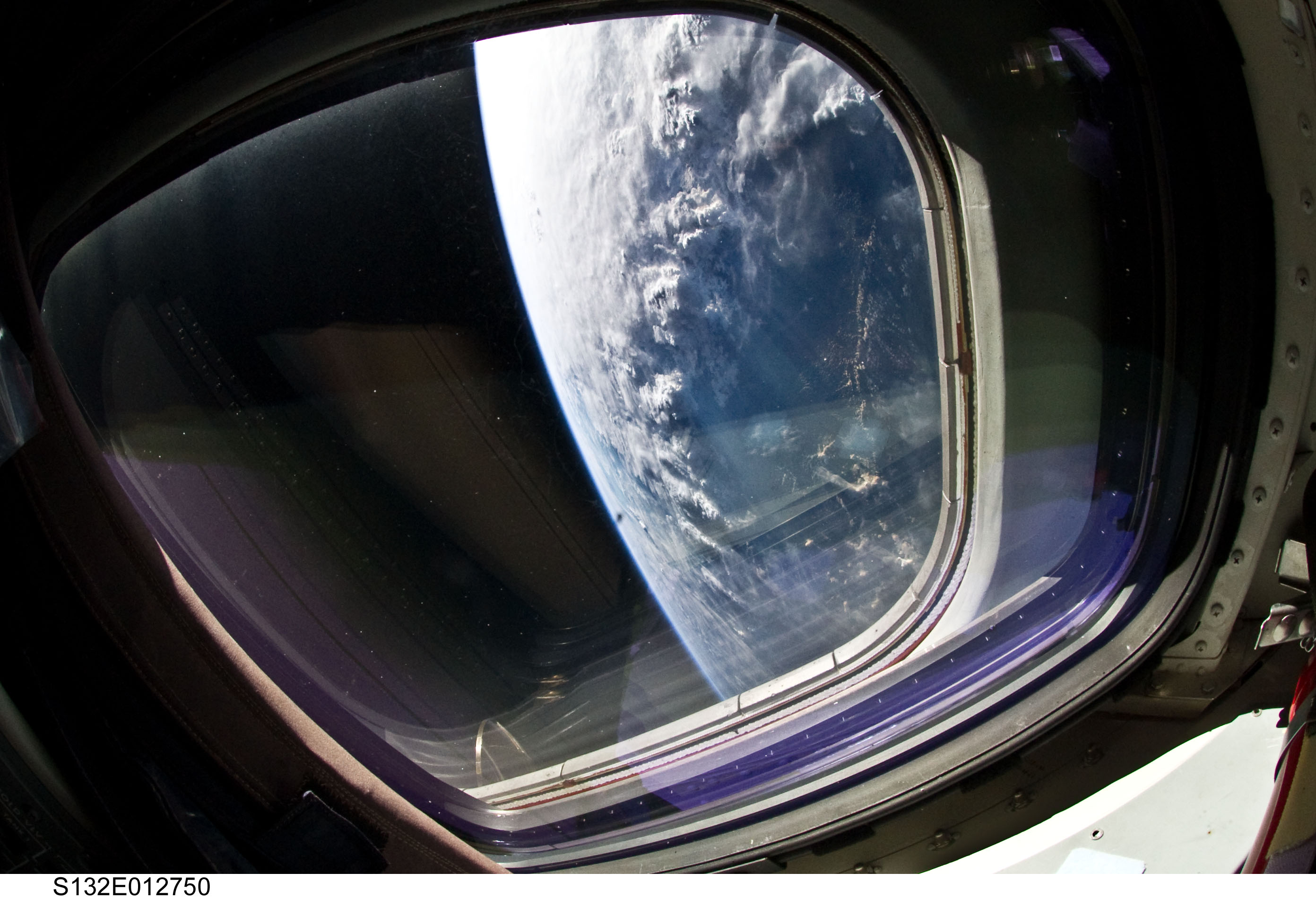
Spacecraft nadir point: 13.3° N, 104.6° E
Photo center point:
Photo center point by machine learning:
Photo center point:
Photo center point by machine learning:
Nadir to Photo Center:
Spacecraft Altitude: 191 nautical miles (354km)
Country or Geographic Name: | |
Features: | |
| Features Found Using Machine Learning: | |
Cloud Cover Percentage: | |
Sun Elevation Angle: | 1° |
Sun Azimuth: | 291° |
Camera: | NIKON |
Focal Length: | 10mm |
Camera Tilt: | |
Format: | |
Film Exposure: | |
| Additional Information | |
| Width | Height | Annotated | Cropped | Purpose | Links |
|---|---|---|---|---|---|
| 2784 pixels | 1901 pixels | No | No | Download Image | |
| 640 pixels | 437 pixels | No | No | Download Image |
Download Packaged File
Download a Google Earth KML for this Image
View photo footprint information
No GeoTIFF is available for this photo.Image Caption: none
