< ISS067-E-121438 >
| NASA Photo ID | ISS067-E-121438 |
| Focal Length | 165mm |
| Date taken | 2022.06.09 |
| Time taken | 09:37:22 GMT |
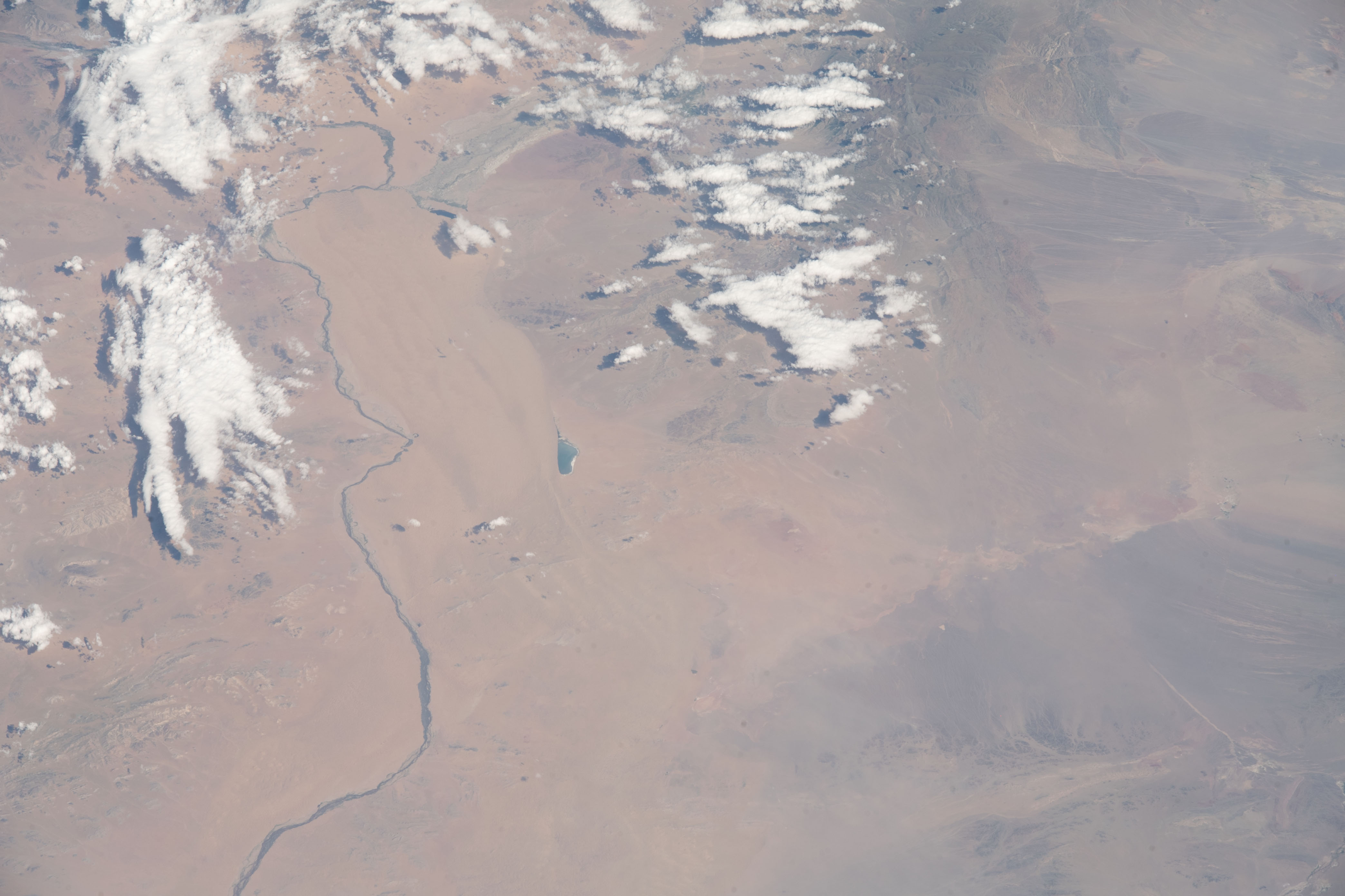


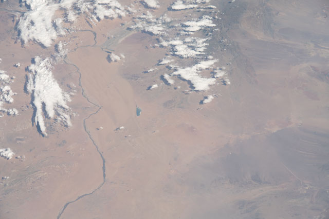
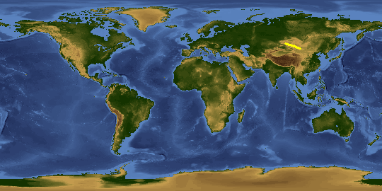
Spacecraft nadir point: 48.7° N, 89.4° E
Photo center point:
Photo center point by machine learning: 47.24° N, 95.10° E
Photo center point:
Photo center point by machine learning: 47.24° N, 95.10° E
Nadir to Photo Center:
Spacecraft Altitude: 222 nautical miles (411km)

Country or Geographic Name: | |
Features: | |
| Features Found Using Machine Learning: | |
Cloud Cover Percentage: | 11 (11-25)% |
Sun Elevation Angle: | 41° |
Sun Azimuth: | 259° |
Camera: | NIKON D5 S/N: 3502607 |
Focal Length: | 165mm |
Camera Tilt: | |
Format: | |
Film Exposure: | |
| Additional Information | |
This photo is one of the photos used to create this time-lapse video:
| Width | Height | Annotated | Cropped | Purpose | Links |
|---|---|---|---|---|---|
| 4176 pixels | 2784 pixels | No | No | Download Image | |
| 640 pixels | 427 pixels | No | No | Download Image |
Download Packaged File
Download a Google Earth KML for this Image
View photo footprint information
No GeoTIFF is available for this photo.Image Caption: none
