< STS036-152-119 >
| NASA Photo ID | STS036-152-119 |
| Focal Length | 250mm |
| Date taken | 1990.03.03 |
| Time taken | 16:43:31 GMT |

Cloud masks available for this image:
Spacecraft nadir point: 33.7° N, 87.0° W
Photo center point: 34.0° N, 87.0° W
Photo center point by machine learning:
Photo center point: 34.0° N, 87.0° W
Photo center point by machine learning:
Nadir to Photo Center: North
Spacecraft Altitude: 115 nautical miles (213km)
Country or Geographic Name: | USA-ALABAMA |
Features: | BANKHEAD L, LEWIS SMITH L |
| Features Found Using Machine Learning: | |
Cloud Cover Percentage: | 0 (no clouds present) |
Sun Elevation Angle: | 46° |
Sun Azimuth: | 152° |
Camera: | Linhof |
Focal Length: | 250mm |
Camera Tilt: | 9 degrees |
Format: | QX868: Kodak, natural color positive, Ektachrome QX868(5017 emulsion), ASA 64, thin base |
Film Exposure: | Normal |
| Additional Information | |
| Width | Height | Annotated | Cropped | Purpose | Links |
|---|---|---|---|---|---|
| 5184 pixels | 4096 pixels | No | No | Earth From Space collection | Download Image |
| 640 pixels | 505 pixels | No | No | Earth From Space collection | Download Image |
| 640 pixels | 480 pixels | No | No | ISD 1 | Download Image |
Download Packaged File
Download a Google Earth KML for this Image
View photo footprint information
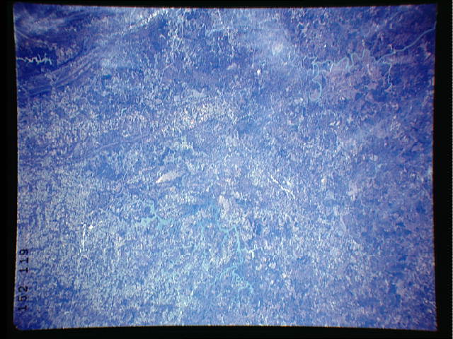
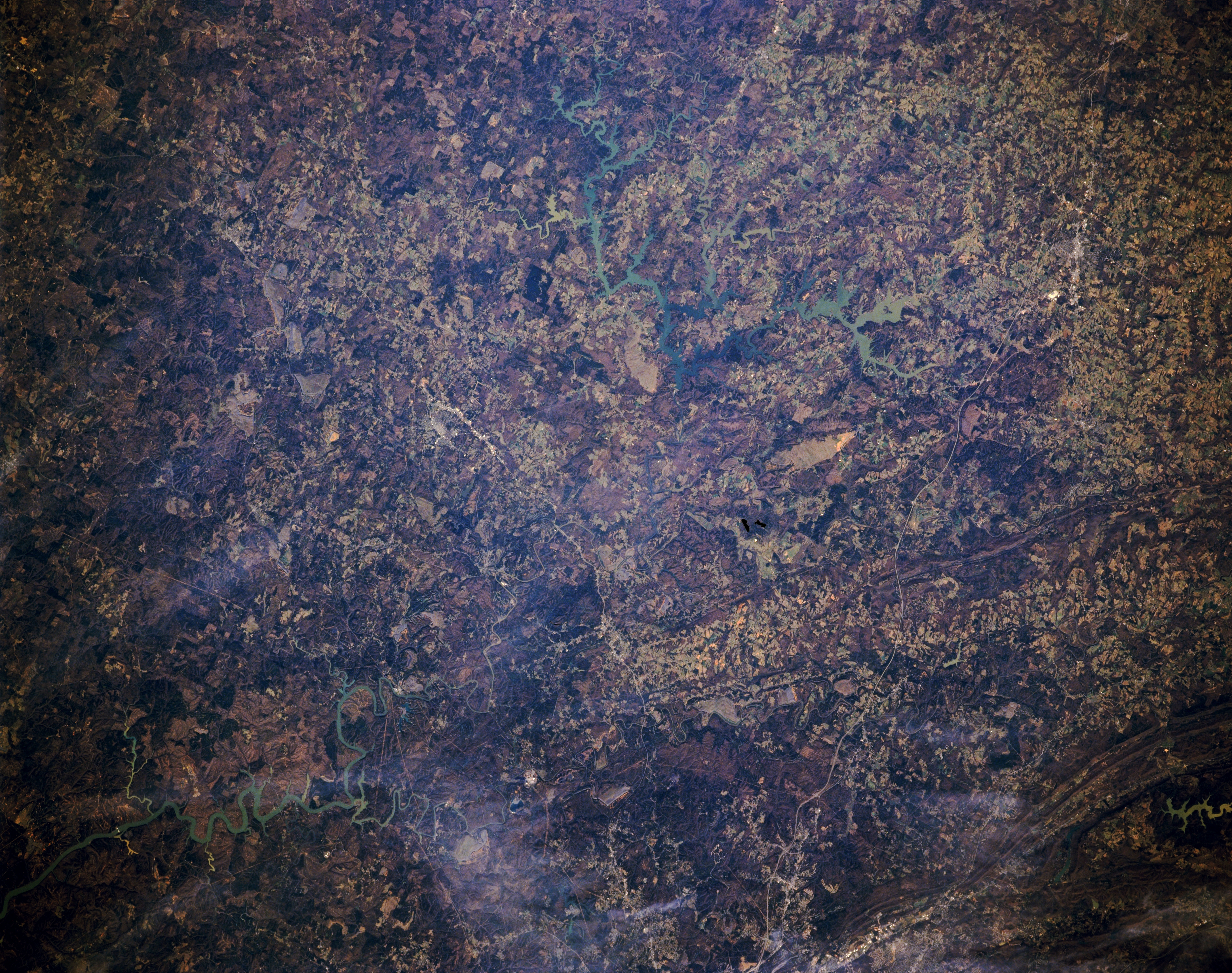
No GeoTIFF is available for this photo.Image Caption: STS036-152-119 North-Central Alabama, U.S.A. March 1990
This part of north-central Alabama consists of forested, rolling hills (darker features) interspersed with cultivated fields and pasturelands (lighter features). Thin, linear highways, including sections of north-south-oriented Interstate Highway 65, radiate generally northward from Birmingham (bottom center). Visible are large Lewis Smith Lake north-northwest of Birmingham; smaller Bankhead Lake to the west, which resembles a winding river course; and several parallel ridges and intervening valleys of the southern limits of the Cumberland Plateau and the Appalachian Mountains to the northeast.
This part of north-central Alabama consists of forested, rolling hills (darker features) interspersed with cultivated fields and pasturelands (lighter features). Thin, linear highways, including sections of north-south-oriented Interstate Highway 65, radiate generally northward from Birmingham (bottom center). Visible are large Lewis Smith Lake north-northwest of Birmingham; smaller Bankhead Lake to the west, which resembles a winding river course; and several parallel ridges and intervening valleys of the southern limits of the Cumberland Plateau and the Appalachian Mountains to the northeast.
