< ISS025-E-11750 >
| NASA Photo ID | ISS025-E-11750 |
| Focal Length | 17mm |
| Date taken | 2010.11.04 |
| Time taken | 21:51:54 GMT |
Cloud masks available for this image:
Spacecraft nadir point: 33.7° N, 6.8° E
Photo center point:
Photo center point by machine learning:
Photo center point:
Photo center point by machine learning:
Nadir to Photo Center:
Spacecraft Altitude: 185 nautical miles (343km)Body: Earth
Country or Geographic Name: | |
Features: | |
| Features Found Using Machine Learning: | PAN- |
Cloud Cover Percentage: | 0 (no clouds present) |
Sun Elevation Angle: | -64° |
Sun Azimuth: | 308° |
Camera: | NIKON D3S S/N: 2007934 |
Focal Length: | 17mm |
Camera Tilt: | |
Format: | |
Film Exposure: | |
| Additional Information | |
| Width | Height | Annotated | Cropped | Purpose | Links |
|---|---|---|---|---|---|
| 4256 pixels | 2913 pixels | No | No | Download Image | |
| 640 pixels | 438 pixels | No | No | Download Image |
Download Packaged File
Download a Google Earth KML for this Image
View photo footprint information
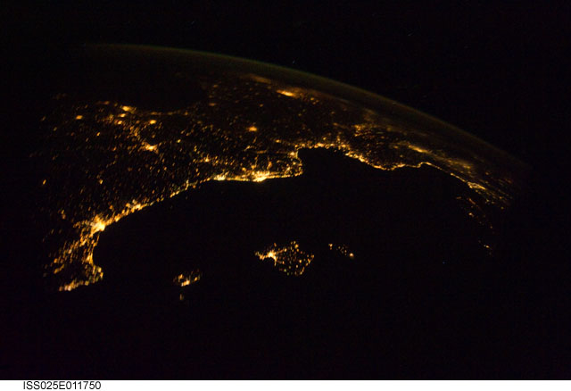
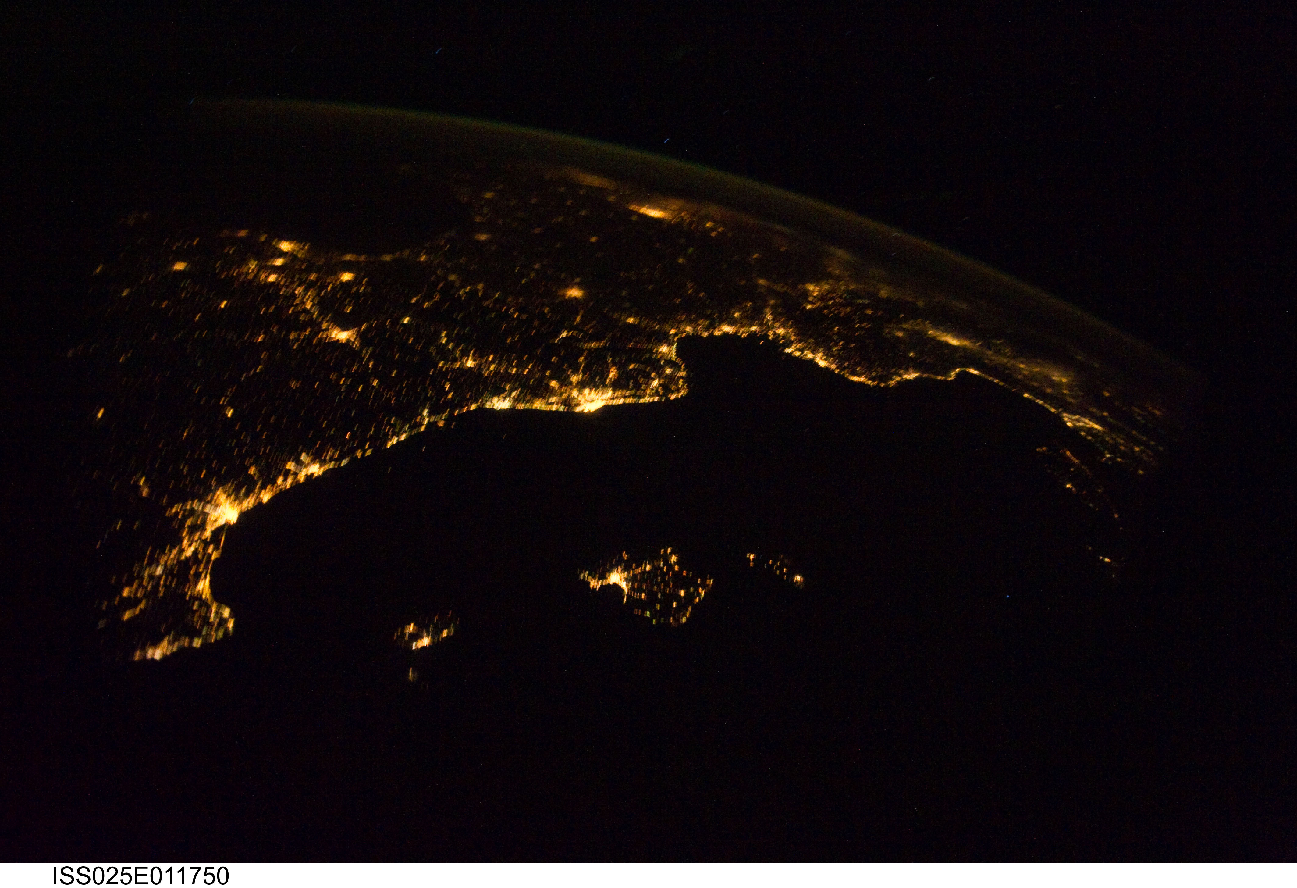
No GeoTIFF is available for this photo.Image Caption: ISS025-E-011750 (4 Nov. 2010) --- From 220 miles above Earth, one of the Expedition 25 crew members aboard the International Space Station aimed a camera through a Cupola window and recorded this night time image of the Mediterranean Riviera and a panorama along the coastline from Valencia, Spain to Livorno, Italy and many points in between including parts of Andorra and Monaco. Islands in the Mediterranean that can easily be delineated in the Nov. 4 picture are the Balearic Islands, as well as Corsica and Sardinia.

