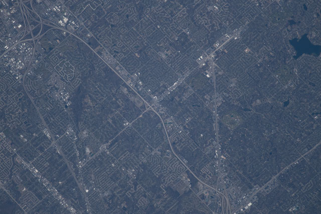
< ISS055-E-115103 >
| NASA Photo ID | ISS055-E-115103 |
| Focal Length | 1150mm |
| Date taken | 2018.04.20 |
| Time taken | 20:44:16 GMT |
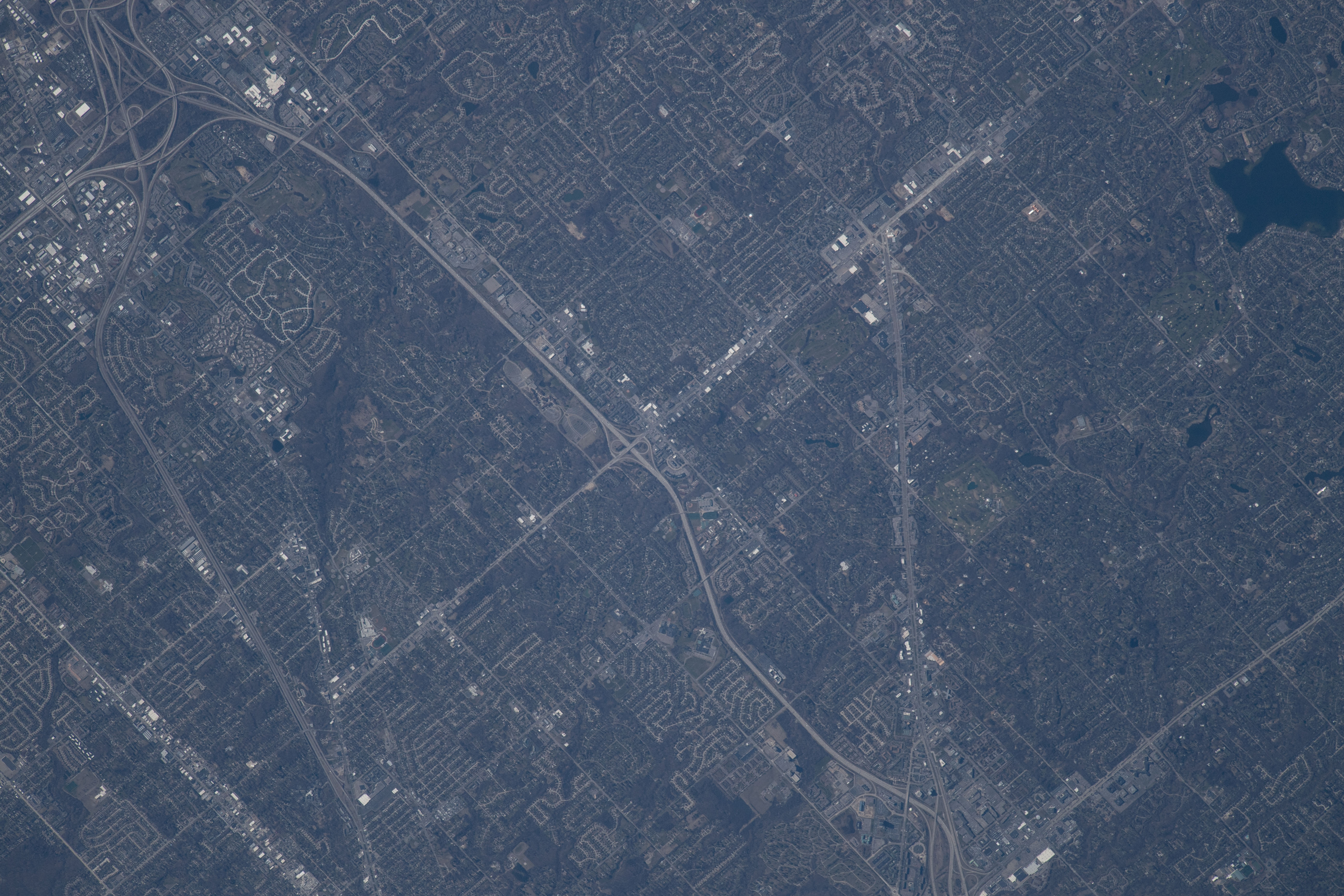


Spacecraft nadir point: 44.1° N, 85.2° W
Photo center point: 42.5° N, 83.3° W
Photo center point by machine learning:
Photo center point: 42.5° N, 83.3° W
Photo center point by machine learning:
Nadir to Photo Center: Southeast
Spacecraft Altitude: 216 nautical miles (400km)
Image Caption: CATALOGED BY UT-BROWNSVILLE/STARGATE
