< STS094-746-11 >
| NASA Photo ID | STS094-746-11 |
| Focal Length | 100mm |
| Date taken | 1997.07.10 |
| Time taken | 19:25:37 GMT |
Resolutions offered for this image:
4096 x 4096 pixels 640 x 640 pixels 5700 x 5900 pixels 483 x 500 pixels
4096 x 4096 pixels 640 x 640 pixels 5700 x 5900 pixels 483 x 500 pixels

Cloud masks available for this image:
Spacecraft nadir point: 10.0° S, 68.0° W
Photo center point:
Photo center point by machine learning:
Photo center point:
Photo center point by machine learning:
Nadir to Photo Center:
Spacecraft Altitude: 163 nautical miles (302km)
Country or Geographic Name: | BRAZIL |
Features: | BRANCO RIVER, ACRE RIVER, DEFOR. |
| Features Found Using Machine Learning: | |
Cloud Cover Percentage: | 10 (1-10)% |
Sun Elevation Angle: | 38° |
Sun Azimuth: | 308° |
Camera: | Hasselblad |
Focal Length: | 100mm |
Camera Tilt: | |
Format: | 5069: Kodak Elite 100S, E6 Reversal, Replaces Lumiere, Warmer in tone vs. Lumiere |
Film Exposure: | Normal |
| Additional Information | |
| Width | Height | Annotated | Cropped | Purpose | Links |
|---|---|---|---|---|---|
| 4096 pixels | 4096 pixels | No | No | Earth From Space collection | Download Image |
| 640 pixels | 640 pixels | No | No | Earth From Space collection | Download Image |
| 5700 pixels | 5900 pixels | No | No | Download Image Download Color Calibration Image for this Image |
|
| 483 pixels | 500 pixels | No | No | Download Image Download Color Calibration Image for this Image |
Download Packaged File
Download a Google Earth KML for this Image
View photo footprint information
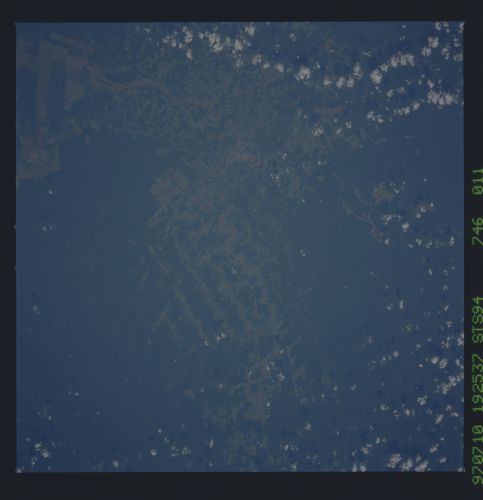
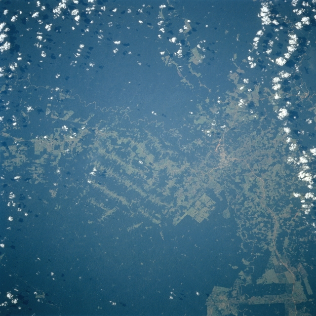
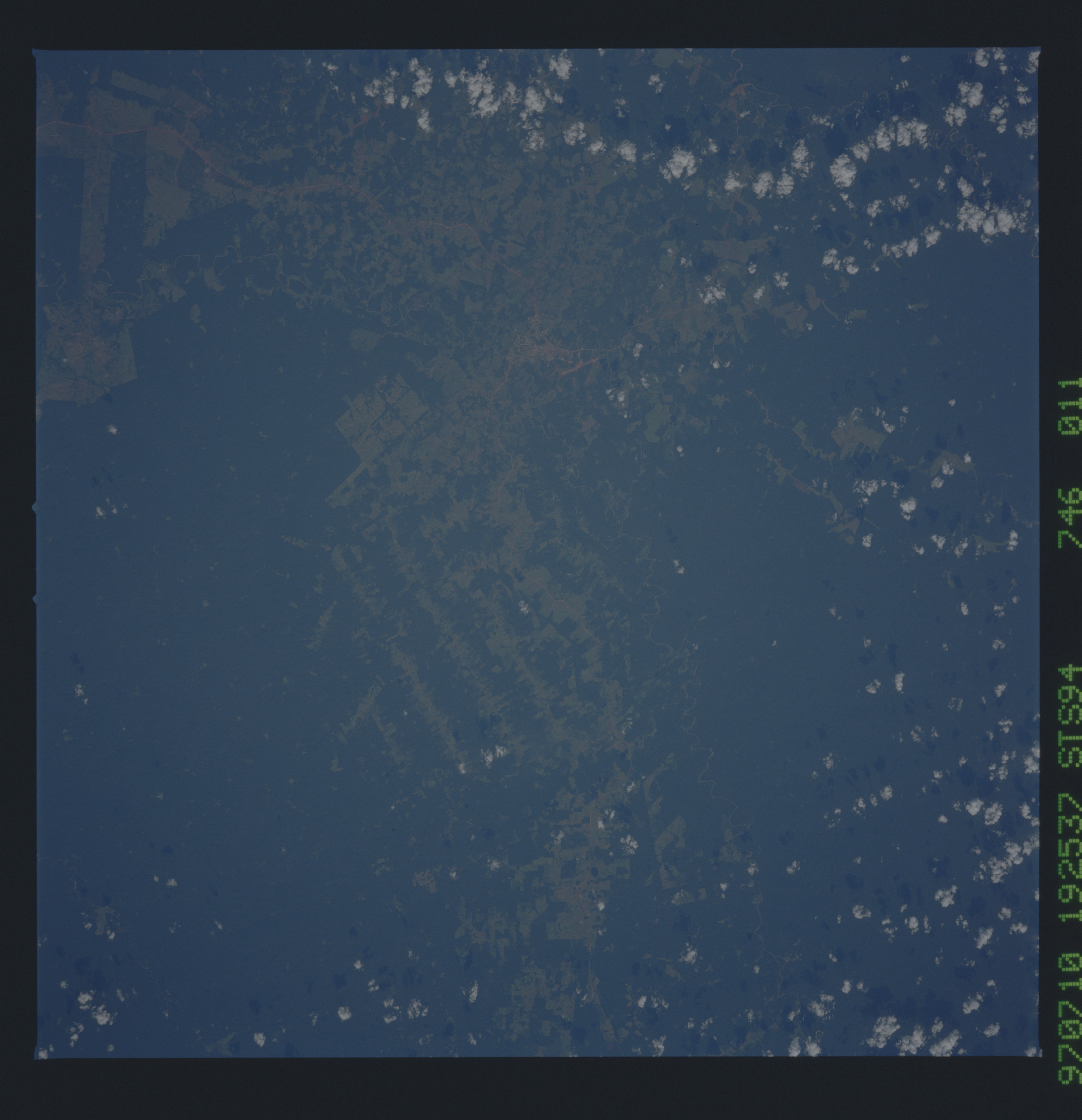
No GeoTIFF is available for this photo.Image Caption: STS094-746-011 Rio Branco, Acre State, Brazil July 1997
The rural town of Rio Branco (concentrated light area left of center), located near the eastern end of Acre State, is visible on this image that shows both cleared lands (lighter green terrain) and the remaining rainforest (darker green). The runway of Presidente Medici Airport (light colored, linear feature) south of the town helps to identify the location of the small urban area. The deforested areas show a variety of clear-cutting patterns that include large angular fields (possibly plantations), paralleling cuts through the densely forested landscape, and randomly spaced, generally smaller fields.
The rural town of Rio Branco (concentrated light area left of center), located near the eastern end of Acre State, is visible on this image that shows both cleared lands (lighter green terrain) and the remaining rainforest (darker green). The runway of Presidente Medici Airport (light colored, linear feature) south of the town helps to identify the location of the small urban area. The deforested areas show a variety of clear-cutting patterns that include large angular fields (possibly plantations), paralleling cuts through the densely forested landscape, and randomly spaced, generally smaller fields.
