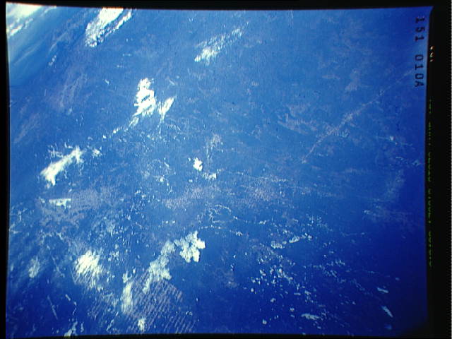
< STS039-151-10A >
| NASA Photo ID | STS039-151-10A |
| Focal Length | 250mm |
| Date taken | 1991.04.29 |
| Time taken | 13:09:10 GMT |
Resolutions offered for this image:
640 x 480 pixels
640 x 480 pixels
Cloud masks available for this image:
Spacecraft nadir point: 49.7° N, 80.4° W
Photo center point: 49.0° N, 81.0° W
Photo center point by machine learning:
Photo center point: 49.0° N, 81.0° W
Photo center point by machine learning:
Nadir to Photo Center: Southwest
Spacecraft Altitude: 145 nautical miles (269km)Body: Earth
Country or Geographic Name: | CANADA-O |
Features: | LAKE ABITIBI |
| Features Found Using Machine Learning: | |
Cloud Cover Percentage: | 10 (1-10)% |
Sun Elevation Angle: | 29° |
Sun Azimuth: | 102° |
Camera: | Linhof |
Focal Length: | 250mm |
Camera Tilt: | High Oblique |
Format: | QX868: Kodak, natural color positive, Ektachrome QX868(5017 emulsion), ASA 64, thin base |
Film Exposure: | Normal |
| Additional Information | |
| Width | Height | Annotated | Cropped | Purpose | Links |
|---|---|---|---|---|---|
| 640 pixels | 480 pixels | No | No | ISD 1 | Download Image |
Download Packaged File
Download a Google Earth KML for this Image
View photo footprint information
No GeoTIFF is available for this photo.Image Caption: STS039-151-10A Wanapitei Impact Crater Wanapitei impact crater is
located on the northeastern margin of another impact area called the
Sudbury structure. North is towards bottom, center in this view.
Wanapitei Lake (1) can be seen in the upper left corner as a partially
frozen lake with three finger-like projections pointing towards
Georgian Bay (upper left corner). The diameter of Wanapitei Lake is
8.5 km and its age is 37 + or - 2 m.y. T283L
located on the northeastern margin of another impact area called the
Sudbury structure. North is towards bottom, center in this view.
Wanapitei Lake (1) can be seen in the upper left corner as a partially
frozen lake with three finger-like projections pointing towards
Georgian Bay (upper left corner). The diameter of Wanapitei Lake is
8.5 km and its age is 37 + or - 2 m.y. T283L

