< ISS024-E-10961 >
| NASA Photo ID | ISS024-E-10961 |
| Focal Length | 80mm |
| Date taken | 2010.08.06 |
| Time taken | 12:07:00 GMT |

Spacecraft nadir point: 16.6° S, 30.0° E
Photo center point: 17.0° S, 30.5° E
Photo center point by machine learning:
Photo center point: 17.0° S, 30.5° E
Photo center point by machine learning:
Nadir to Photo Center: Southeast
Spacecraft Altitude: 190 nautical miles (352km)
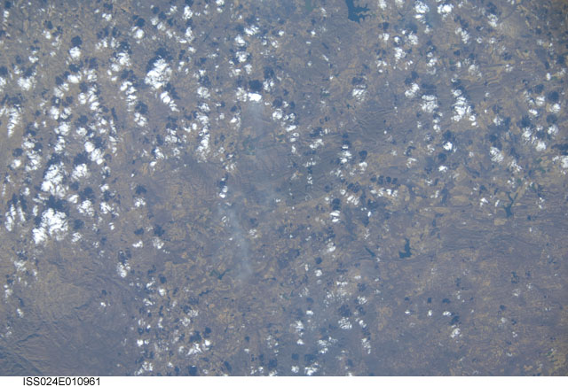
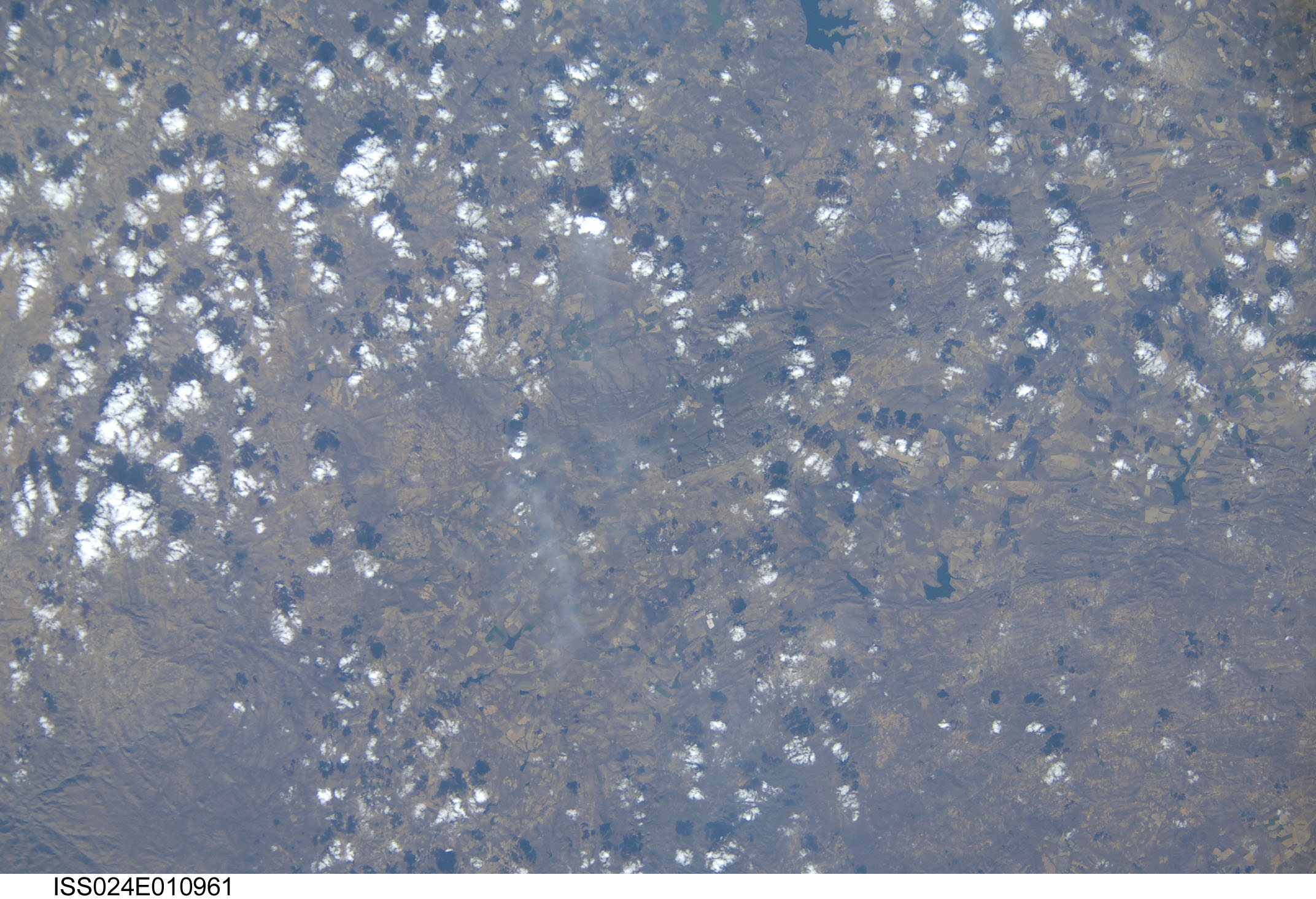
Country or Geographic Name: | ZIMBABWE |
Features: | HUNYANI RANGE, FOREST, DRAINAGE, AGR., SMOKE PLUMES, MANGULA AREA |
| Features Found Using Machine Learning: | |
Cloud Cover Percentage: | 50 (26-50)% |
Sun Elevation Angle: | 45° |
Sun Azimuth: | 317° |
Camera: | Nikon D2Xs Electronic Still Camera |
Focal Length: | 80mm |
Camera Tilt: | 11 degrees |
Format: | 4288E: 4288 x 2848 pixel CMOS sensor, RGBG imager color filter |
Film Exposure: | |
| Additional Information | |
| Width | Height | Annotated | Cropped | Purpose | Links |
|---|---|---|---|---|---|
| 2144 pixels | 1465 pixels | No | No | Download Image | |
| 640 pixels | 437 pixels | No | No | Download Image |
Download Packaged File
Download a Google Earth KML for this Image
View photo footprint information
No GeoTIFF is available for this photo.Image Caption: none
