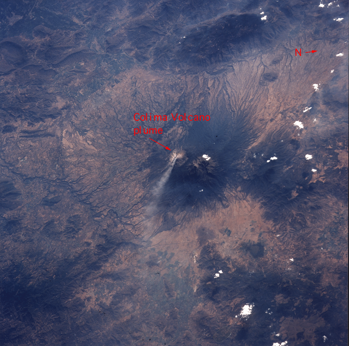
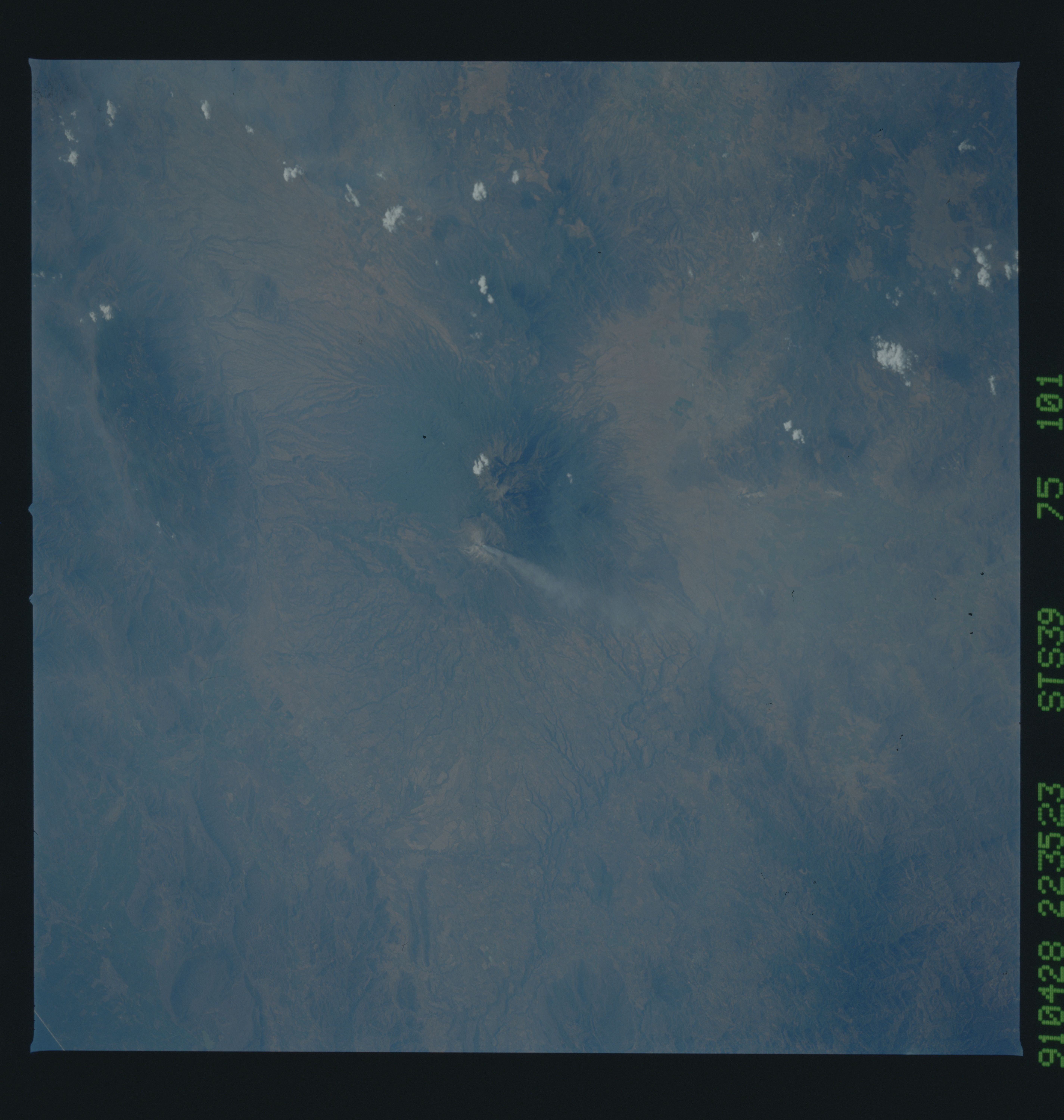
< STS039-75-101 >
| NASA Photo ID | STS039-75-101 |
| Focal Length | 250mm |
| Date taken | 1991.04.28 |
| Time taken | 22:35:23 GMT |
Resolutions offered for this image:
5700 x 6000 pixels 500 x 526 pixels 640 x 480 pixels 1200 x 1188 pixels
5700 x 6000 pixels 500 x 526 pixels 640 x 480 pixels 1200 x 1188 pixels
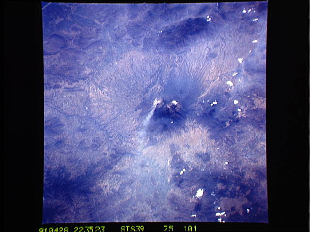

Cloud masks available for this image:
Spacecraft nadir point: 21.3° N, 102.6° W
Photo center point: 19.5° N, 103.5° W
Photo center point by machine learning:
Photo center point: 19.5° N, 103.5° W
Photo center point by machine learning:
Nadir to Photo Center: South
Spacecraft Altitude: 139 nautical miles (257km)Body: Earth
Country or Geographic Name: | MEXICO |
Features: | COLIMA VOLCANO-SMOKE |
| Features Found Using Machine Learning: | |
Cloud Cover Percentage: | 5 (1-10)% |
Sun Elevation Angle: | 35° |
Sun Azimuth: | 272° |
Camera: | Hasselblad |
Focal Length: | 250mm |
Camera Tilt: | 41 degrees |
Format: | 5017: Kodak, natural color positive, Ektachrome, X Professional, ASA 64, standard base |
Film Exposure: | Normal |
| Additional Information | |
| Width | Height | Annotated | Cropped | Purpose | Links |
|---|---|---|---|---|---|
| 5700 pixels | 6000 pixels | No | No | Download Image | |
| 500 pixels | 526 pixels | No | No | Download Image | |
| 640 pixels | 480 pixels | No | No | Download Image | |
| 1200 pixels | 1188 pixels | Yes | No | Download Image |
Download Packaged File
Download a Google Earth KML for this Image
View photo footprint information
No GeoTIFF is available for this photo.Image Caption: Located about 125 km south of Guadalajara, state of Jalisco, Mexico, the 13,325 ft. Colima (19.5N, 103.5W) is the most active volcano in Mexico. The activity depicted occurred in early March 1991 with avalanches followed soon after by lava extrusion with ash and steam emission from the caldera. The steam plume can be seen drifting eastward from the summit and groundscars from the earlier avalanches can also be seen on the southwest slope.