STS61C-37-76
| NASA Photo ID | STS61C-37-76 |
| Focal Length | 250mm |
| Date taken | 1986.01.13 |
| Time taken | 15:30:36 GMT |
Cloud masks available for this image:
Spacecraft nadir point: 17.1° N, 85.9° W
Photo center point: 12.0° N, 86.0° W
Photo center point by machine learning:
Photo center point: 12.0° N, 86.0° W
Photo center point by machine learning:
Nadir to Photo Center: South
Spacecraft Altitude: 181 nautical miles (335km)
Country or Geographic Name: | NICARAGUA |
Features: | PLUME-MASAYA VOLCANO |
| Features Found Using Machine Learning: | |
Cloud Cover Percentage: | 15 (11-25)% |
Sun Elevation Angle: | 38° |
Sun Azimuth: | 136° |
Camera: | Hasselblad |
Focal Length: | 250mm |
Camera Tilt: | High Oblique |
Format: | 5017: Kodak, natural color positive, Ektachrome, X Professional, ASA 64, standard base |
Film Exposure: | Normal |
| Additional Information | |
| Width | Height | Annotated | Cropped | Purpose | Links |
|---|---|---|---|---|---|
| 5700 pixels | 5900 pixels | No | No | Download Image | |
| 500 pixels | 518 pixels | No | No | Download Image | |
| 640 pixels | 480 pixels | No | No | Download Image |
Download Packaged File
Download a Google Earth KML for this Image
View photo footprint information
Download a GeoTIFF for this photo
Image Caption:
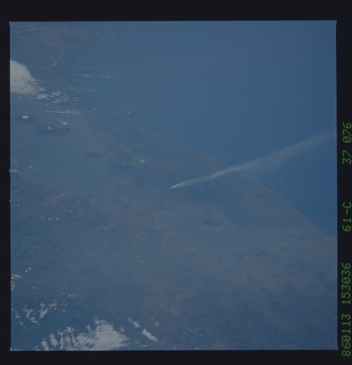
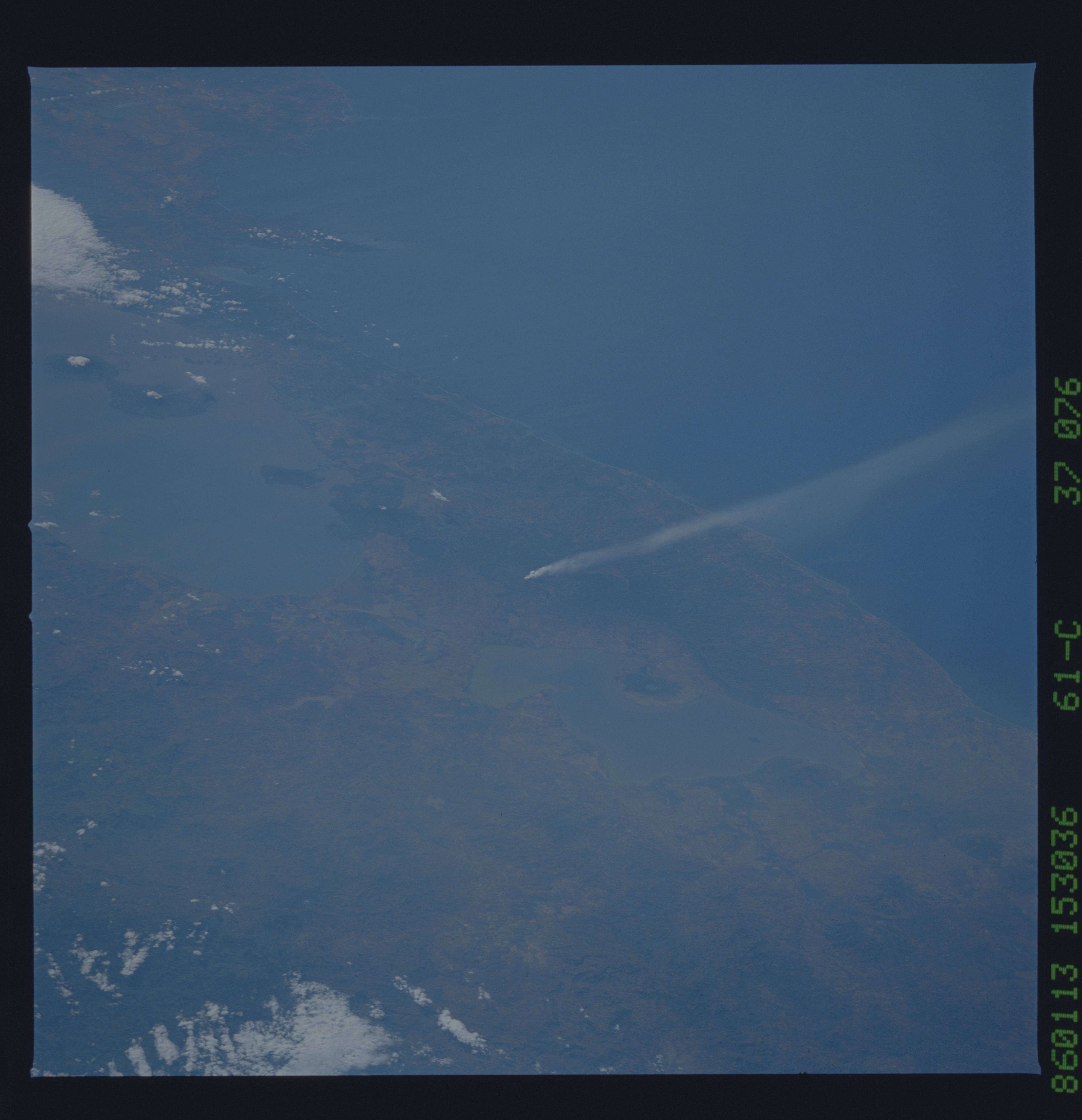
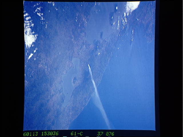
Masaya Volcano
Masaya volcano can be seen erupting in this south-looking view
taken in January 1986. Lakes Managua (1) and Nicaragua (2) are
also visible. Numerous volcanoes can be seen in this view in ad-
dition to Masaya and they include Momotombo (3) and Conception
(4). A small plume can be seen from the summit of Conception vol-
cano. The capital city of Nicaragua, Managua (5) is also visi-
ble. (STS61C-37-076)
