STS61B-52-42
| NASA Photo ID | STS61B-52-42 |
| Focal Length | 250mm |
| Date taken | 1985.12.02 |
| Time taken | 20:59:40 GMT |
Resolutions offered for this image:
3904 x 3904 pixels 639 x 639 pixels 5700 x 5900 pixels 500 x 518 pixels 640 x 480 pixels
3904 x 3904 pixels 639 x 639 pixels 5700 x 5900 pixels 500 x 518 pixels 640 x 480 pixels

Cloud masks available for this image:
Spacecraft nadir point: 26.9° N, 97.9° W
Photo center point: 27.5° N, 98.0° W
Photo center point by machine learning:
Photo center point: 27.5° N, 98.0° W
Photo center point by machine learning:
Nadir to Photo Center: North
Spacecraft Altitude: 173 nautical miles (320km)
Country or Geographic Name: | USA-TEXAS |
Features: | FALFURRIAS, KINGSVILLE |
| Features Found Using Machine Learning: | |
Cloud Cover Percentage: | 0 (no clouds present) |
Sun Elevation Angle: | 27° |
Sun Azimuth: | 221° |
Camera: | Hasselblad |
Focal Length: | 250mm |
Camera Tilt: | 12 degrees |
Format: | 2443: Kodak Aerochrome 2443, color IR, thin base, EA-5 process thru June 1999, E-6 process afterward |
Film Exposure: | Normal |
| Additional Information | |
| Width | Height | Annotated | Cropped | Purpose | Links |
|---|---|---|---|---|---|
| 3904 pixels | 3904 pixels | No | No | Earth From Space collection | Download Image |
| 639 pixels | 639 pixels | No | No | Earth From Space collection | Download Image |
| 5700 pixels | 5900 pixels | No | No | Download Image | |
| 500 pixels | 518 pixels | No | No | Download Image | |
| 640 pixels | 480 pixels | No | No | Download Image |
Download Packaged File
Download a Google Earth KML for this Image
View photo footprint information
Download a GeoTIFF for this photo
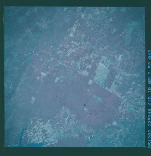
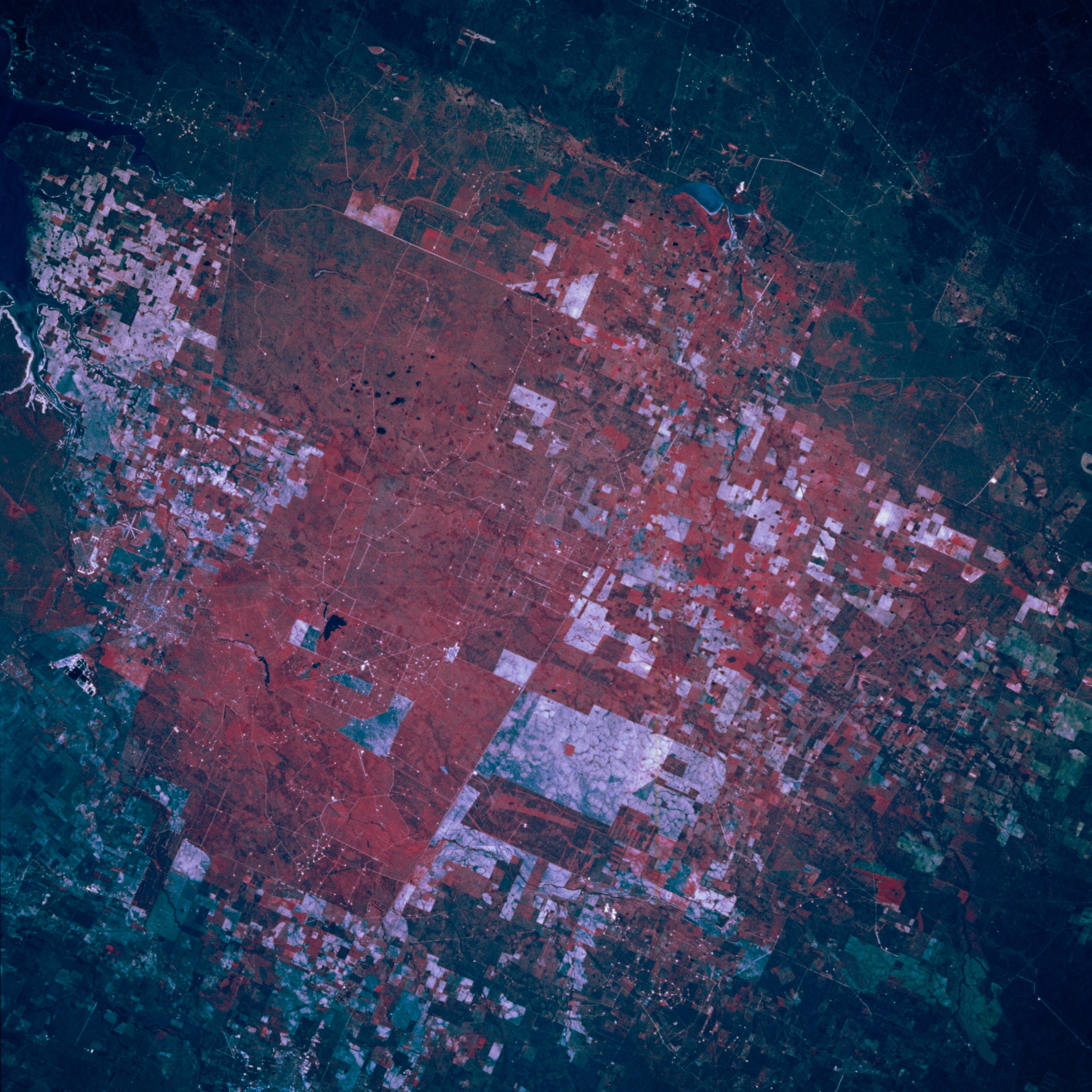
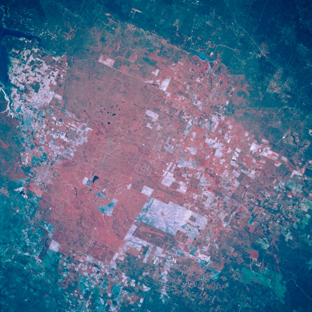
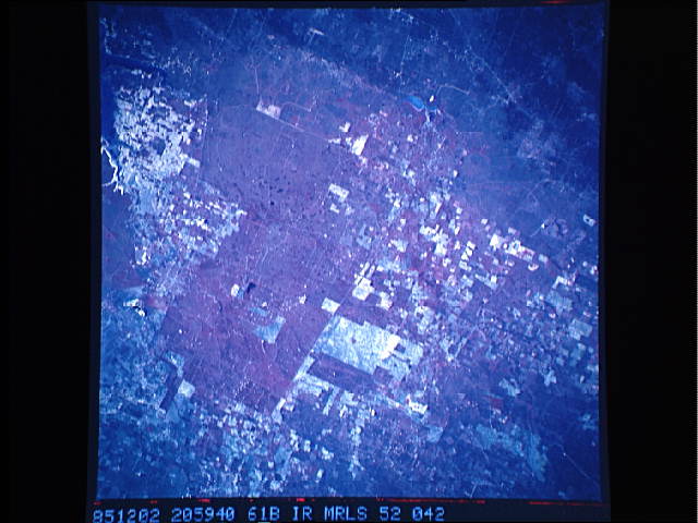
Image Caption: STS61B-052-0042 Kingsville and South Texas Coastal Plain, Texas, U.S.A. November 1985
Kingsville, 34 miles (55 kilometers) southwest of Corpus Christi (not in photograph), is featured in this north-northwest-looking, low-oblique photograph. Most of the healthy (red) vegetation in this color infrared photograph is part of gigantic King Ranch that encompasses more than 2000 square miles (5180 square kilometers). Kingsville, headquarters for the vast King Ranch, is a processing center for farm products, oil, and natural gas.
Kingsville, 34 miles (55 kilometers) southwest of Corpus Christi (not in photograph), is featured in this north-northwest-looking, low-oblique photograph. Most of the healthy (red) vegetation in this color infrared photograph is part of gigantic King Ranch that encompasses more than 2000 square miles (5180 square kilometers). Kingsville, headquarters for the vast King Ranch, is a processing center for farm products, oil, and natural gas.
