STS61B-39-101
| NASA Photo ID | STS61B-39-101 |
| Focal Length | 250mm |
| Date taken | 1985.__.__ |
| Time taken | GMT |

Cloud masks available for this image:
Spacecraft nadir point:
Photo center point: 17.0° S, 177.5° E
Photo center point by machine learning:
Photo center point: 17.0° S, 177.5° E
Photo center point by machine learning:
Nadir to Photo Center:
Spacecraft Altitude: nautical miles (0km)
Camera: | Hasselblad |
Focal Length: | 250mm |
Camera Tilt: | |
Format: | 5017: Kodak, natural color positive, Ektachrome, X Professional, ASA 64, standard base |
Film Exposure: | Normal |
| Additional Information | |
| Width | Height | Annotated | Cropped | Purpose | Links |
|---|---|---|---|---|---|
| 5700 pixels | 5900 pixels | No | No | Download Image | |
| 500 pixels | 518 pixels | No | No | Download Image | |
| 640 pixels | 480 pixels | No | No | Download Image |
Download Packaged File
Download a Google Earth KML for this Image
View photo footprint information
Download a GeoTIFF for this photo
Image Caption:
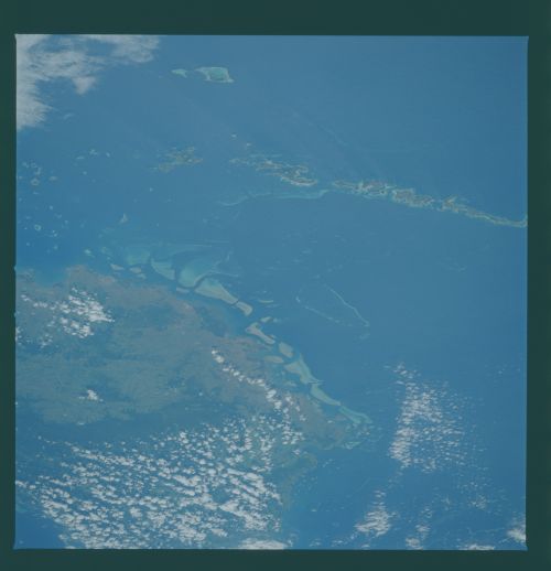
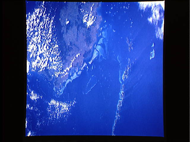
Viti Levu
This south-looking view of Fiji's main island centers on the
heavily cultivated and most populated part of the Fiji Islands.
The city and airstrip of Nadi can be seen in the foreground (ar-
row). The offshore reef tracks are rich in tropical fishes.
(61B-39-101 and 102)
Viti Levu
This south-looking view of Fiji's main island centers on the
heavily cultivated and most populated part of the Fiji Islands.
The city and airstrip of Nadi can be seen in the foreground (ar-
row). The offshore reef tracks are rich in tropical fishes.
(61B-39-101 and 102)
