STS61A-57-18

| NASA Photo ID | STS61A-57-18 |
| Focal Length | 250mm |
| Date taken | 1985.11.01 |
| Time taken | 00:37:45 GMT |
Cloud masks available for this image:
Spacecraft nadir point: 32.2° S, 114.3° E
Photo center point: 31.0° S, 116.0° E
Photo center point by machine learning:
Photo center point: 31.0° S, 116.0° E
Photo center point by machine learning:
Nadir to Photo Center: Northeast
Spacecraft Altitude: 179 nautical miles (332km)
Country or Geographic Name: | AUSTRALIA-WA |
Features: | AGRICULTURE |
| Features Found Using Machine Learning: | |
Cloud Cover Percentage: | 0 (no clouds present) |
Sun Elevation Angle: | 39° |
Sun Azimuth: | 82° |
Camera: | Hasselblad |
Focal Length: | 250mm |
Camera Tilt: | 35 degrees |
Format: | 2443: Kodak Aerochrome 2443, color IR, thin base, EA-5 process thru June 1999, E-6 process afterward |
Film Exposure: | Normal |
| Additional Information | |
| Width | Height | Annotated | Cropped | Purpose | Links |
|---|---|---|---|---|---|
| 5700 pixels | 5900 pixels | No | No | Download Image | |
| 500 pixels | 518 pixels | No | No | Download Image | |
| 640 pixels | 480 pixels | No | No | Download Image |
Download Packaged File
Download a Google Earth KML for this Image
View photo footprint information
Download a GeoTIFF for this photo
Image Caption:
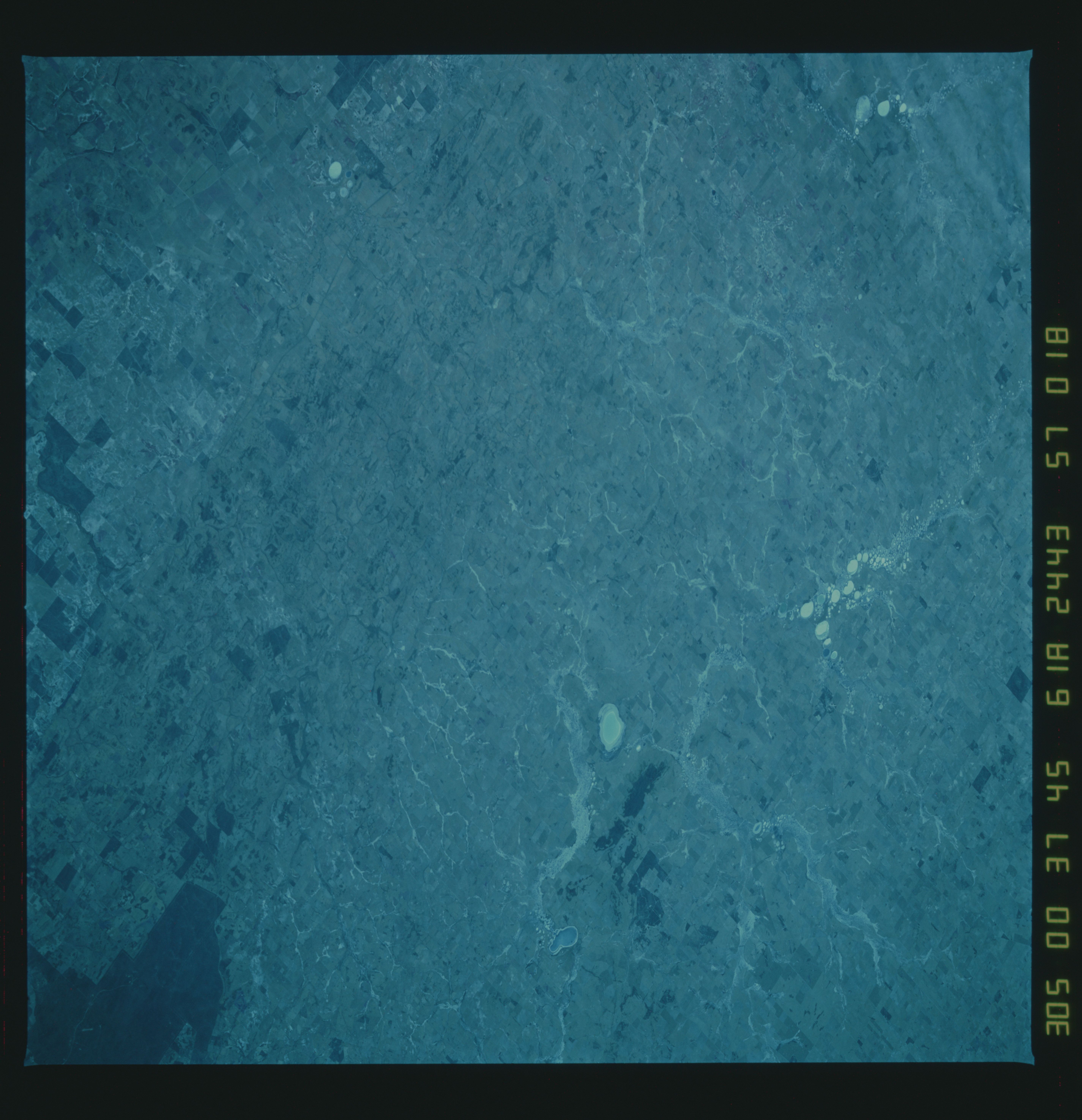
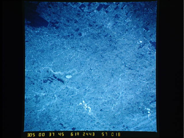
Southwest Australia--Landforms
This series of stereopairs include near-vertical views in color
infrared that show typical changes in landforms, vegetation,
agricultural products, and drainage characteristics in
southwestern Australia immediately north of Perth. Clearly
visible are the flat coastal plains (area west of Darling Fault),
the Darling Fault (1) and the relatively flat upland Darling pla-
teau with its drainage network with extensive chains of salt
lakes (2), regarded as the remnants of ancient rivers. The
northern boundary of the city of Perth, and the port city of
Freemantle are located at the bottom of the page at (3) and (4).
(61A-57-16, 17, 18)
