STS61A-50-69
| NASA Photo ID | STS61A-50-69 |
| Focal Length | 250mm |
| Date taken | 1985.11.01 |
| Time taken | 21:51:04 GMT |
Resolutions offered for this image:
3904 x 3904 pixels 639 x 639 pixels 5700 x 5900 pixels 500 x 518 pixels 640 x 480 pixels
3904 x 3904 pixels 639 x 639 pixels 5700 x 5900 pixels 500 x 518 pixels 640 x 480 pixels
Cloud masks available for this image:
Spacecraft nadir point: 36.1° S, 147.0° E
Photo center point: 37.0° S, 146.0° E
Photo center point by machine learning:
Photo center point: 37.0° S, 146.0° E
Photo center point by machine learning:
Nadir to Photo Center: Southwest
Spacecraft Altitude: 180 nautical miles (333km)
Country or Geographic Name: | AUSTRALIA-V |
Features: | LAKE EILDON |
| Features Found Using Machine Learning: | |
Cloud Cover Percentage: | 20 (11-25)% |
Sun Elevation Angle: | 31° |
Sun Azimuth: | 85° |
Camera: | Hasselblad |
Focal Length: | 250mm |
Camera Tilt: | 24 degrees |
Format: | 5017: Kodak, natural color positive, Ektachrome, X Professional, ASA 64, standard base |
Film Exposure: | Normal |
| Additional Information | |
| Width | Height | Annotated | Cropped | Purpose | Links |
|---|---|---|---|---|---|
| 3904 pixels | 3904 pixels | No | No | Earth From Space collection | Download Image |
| 639 pixels | 639 pixels | No | No | Earth From Space collection | Download Image |
| 5700 pixels | 5900 pixels | No | No | Download Image | |
| 500 pixels | 518 pixels | No | No | Download Image | |
| 640 pixels | 480 pixels | No | No | Download Image |
Download Packaged File
Download a Google Earth KML for this Image
View photo footprint information
Download a GeoTIFF for this photo
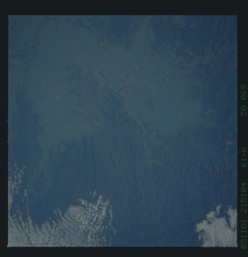
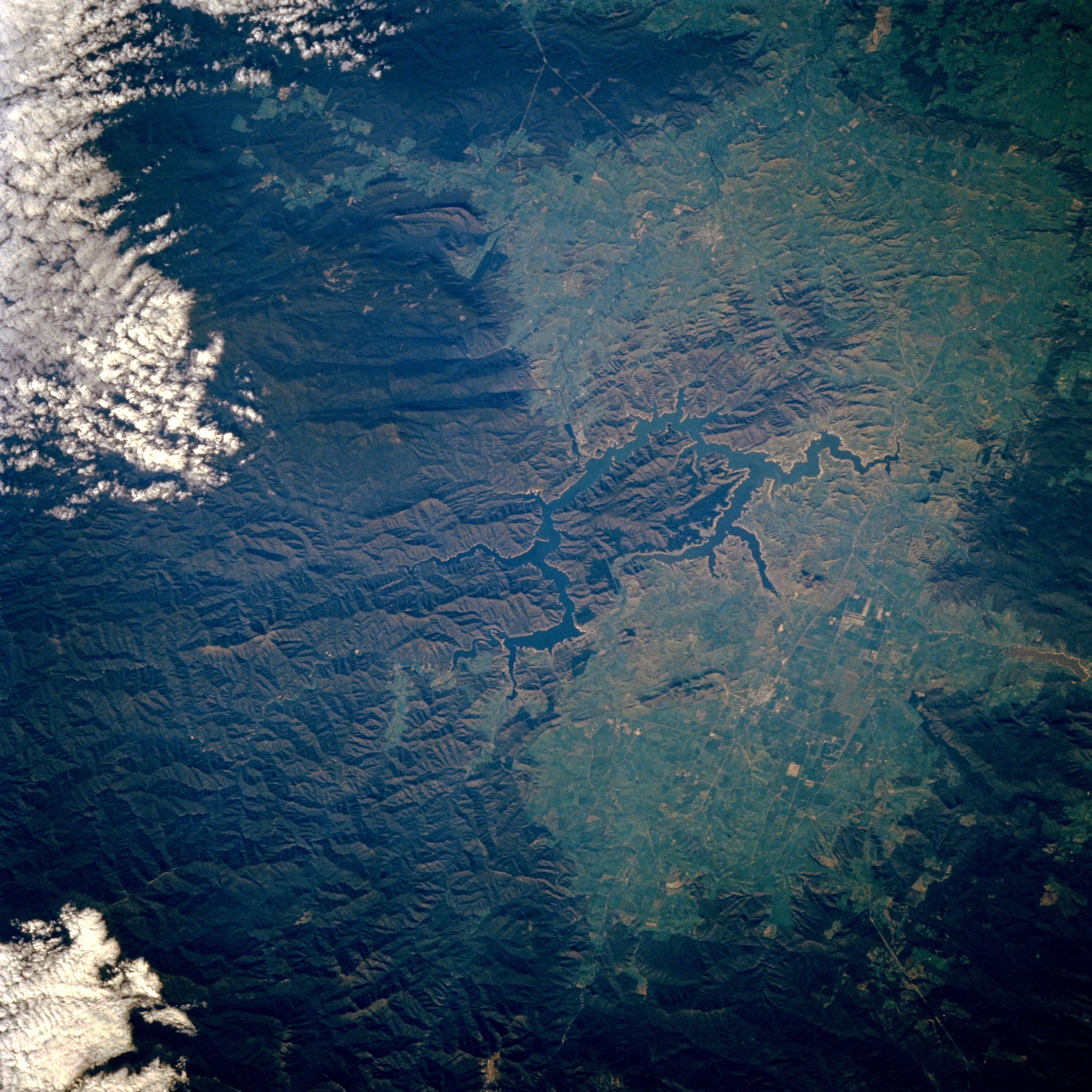
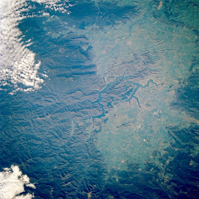
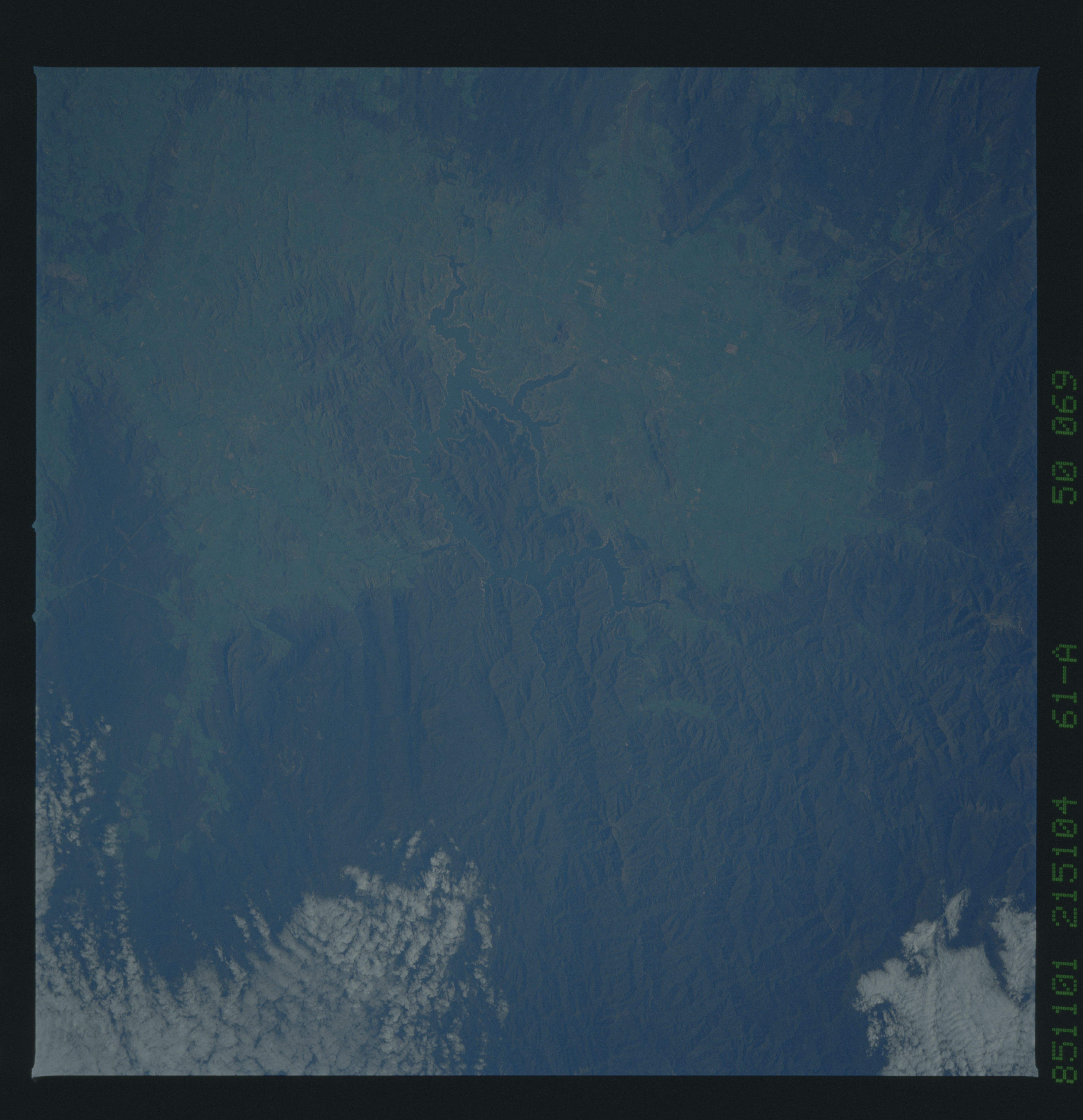
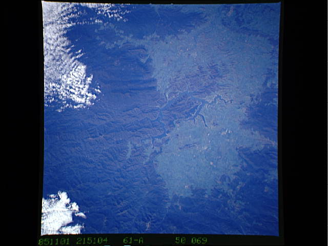
Image Caption: STS61A-50-0069 Lake Eildon, Victoria, Australia November 1985
Lake Eildon, the serpentine feature in the middle of the picture, is located approximately 80 miles (130 kilometers) northeast of Melbourne. The reservoir was created by damming the Goulburn River as it cuts through the scenic mountain and plateau terrain near the southern end of the Great Dividing Range. The lighter green area on the image maps an extensive plateau with an average elevation of 2000 feet (610 meters). The darker, more rugged terrain is heavily forested with several peaks south of the lake reaching almost 5000 feet (1525 meters) in elevation above sea level. STS61A-50-070 provides an overlapping view northeast of this area.
Lake Eildon, the serpentine feature in the middle of the picture, is located approximately 80 miles (130 kilometers) northeast of Melbourne. The reservoir was created by damming the Goulburn River as it cuts through the scenic mountain and plateau terrain near the southern end of the Great Dividing Range. The lighter green area on the image maps an extensive plateau with an average elevation of 2000 feet (610 meters). The darker, more rugged terrain is heavily forested with several peaks south of the lake reaching almost 5000 feet (1525 meters) in elevation above sea level. STS61A-50-070 provides an overlapping view northeast of this area.
