STS61A-48-94
| NASA Photo ID | STS61A-48-94 |
| Focal Length | 250mm |
| Date taken | 1985.11.03 |
| Time taken | 18:15:37 GMT |
Resolutions offered for this image:
3904 x 3936 pixels 634 x 639 pixels 5700 x 5900 pixels 500 x 518 pixels 640 x 480 pixels
3904 x 3936 pixels 634 x 639 pixels 5700 x 5900 pixels 500 x 518 pixels 640 x 480 pixels

Cloud masks available for this image:
Spacecraft nadir point: 41.3° N, 106.5° W
Photo center point: 39.5° N, 105.0° W
Photo center point by machine learning:
Photo center point: 39.5° N, 105.0° W
Photo center point by machine learning:
Nadir to Photo Center: Southeast
Spacecraft Altitude: 179 nautical miles (332km)
Country or Geographic Name: | USA-COLORADO |
Features: | DENVER |
| Features Found Using Machine Learning: | |
Cloud Cover Percentage: | 0 (no clouds present) |
Sun Elevation Angle: | 33° |
Sun Azimuth: | 170° |
Camera: | Hasselblad |
Focal Length: | 250mm |
Camera Tilt: | 38 degrees |
Format: | 5017: Kodak, natural color positive, Ektachrome, X Professional, ASA 64, standard base |
Film Exposure: | Normal |
| Additional Information | |
| Width | Height | Annotated | Cropped | Purpose | Links |
|---|---|---|---|---|---|
| 3904 pixels | 3936 pixels | No | No | Earth From Space collection | Download Image |
| 634 pixels | 639 pixels | No | No | Earth From Space collection | Download Image |
| 5700 pixels | 5900 pixels | No | No | Download Image | |
| 500 pixels | 518 pixels | No | No | Download Image | |
| 640 pixels | 480 pixels | No | No | Download Image |
Download Packaged File
Download a Google Earth KML for this Image
View photo footprint information
Download a GeoTIFF for this photo
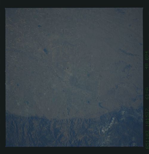
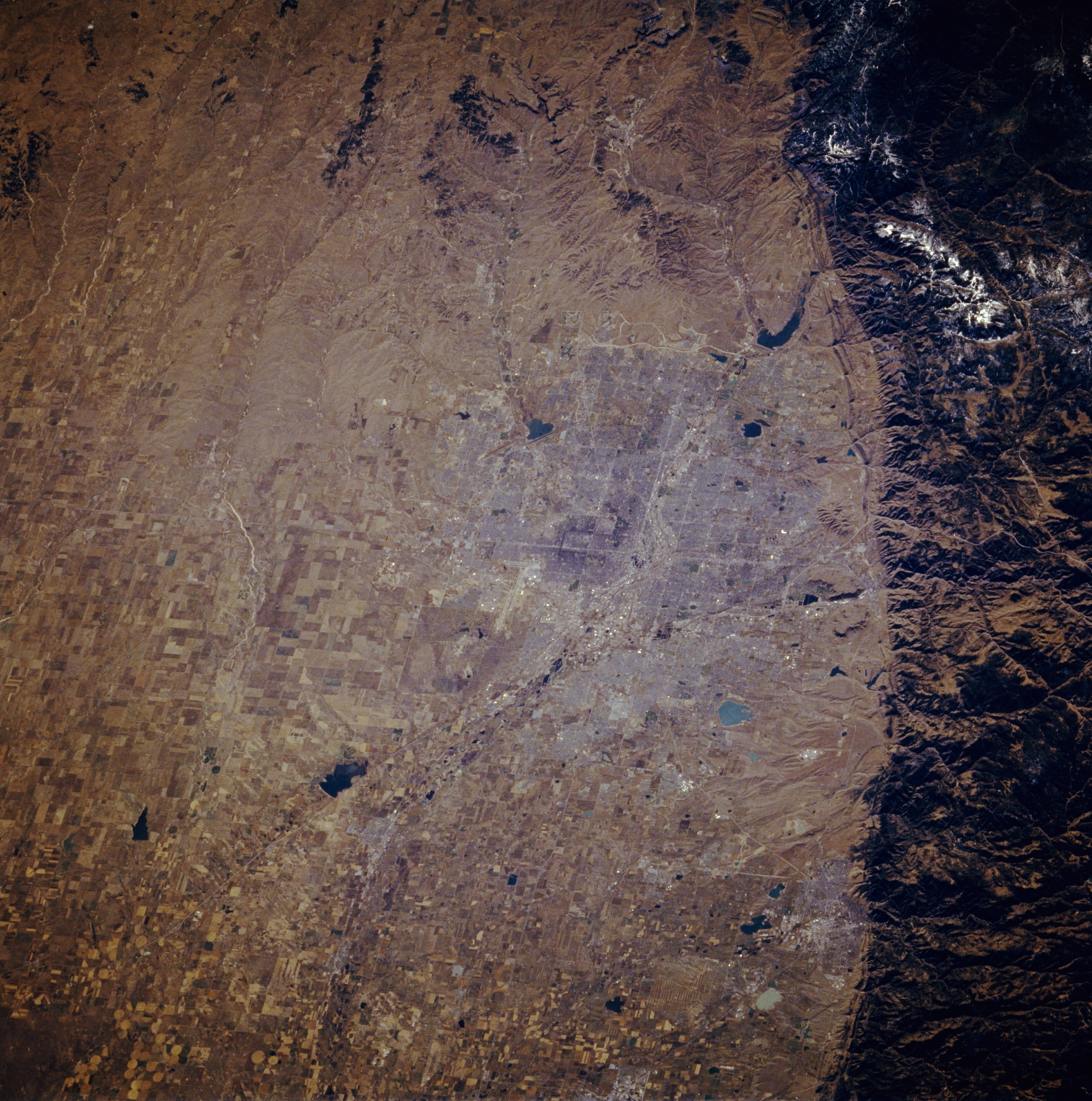
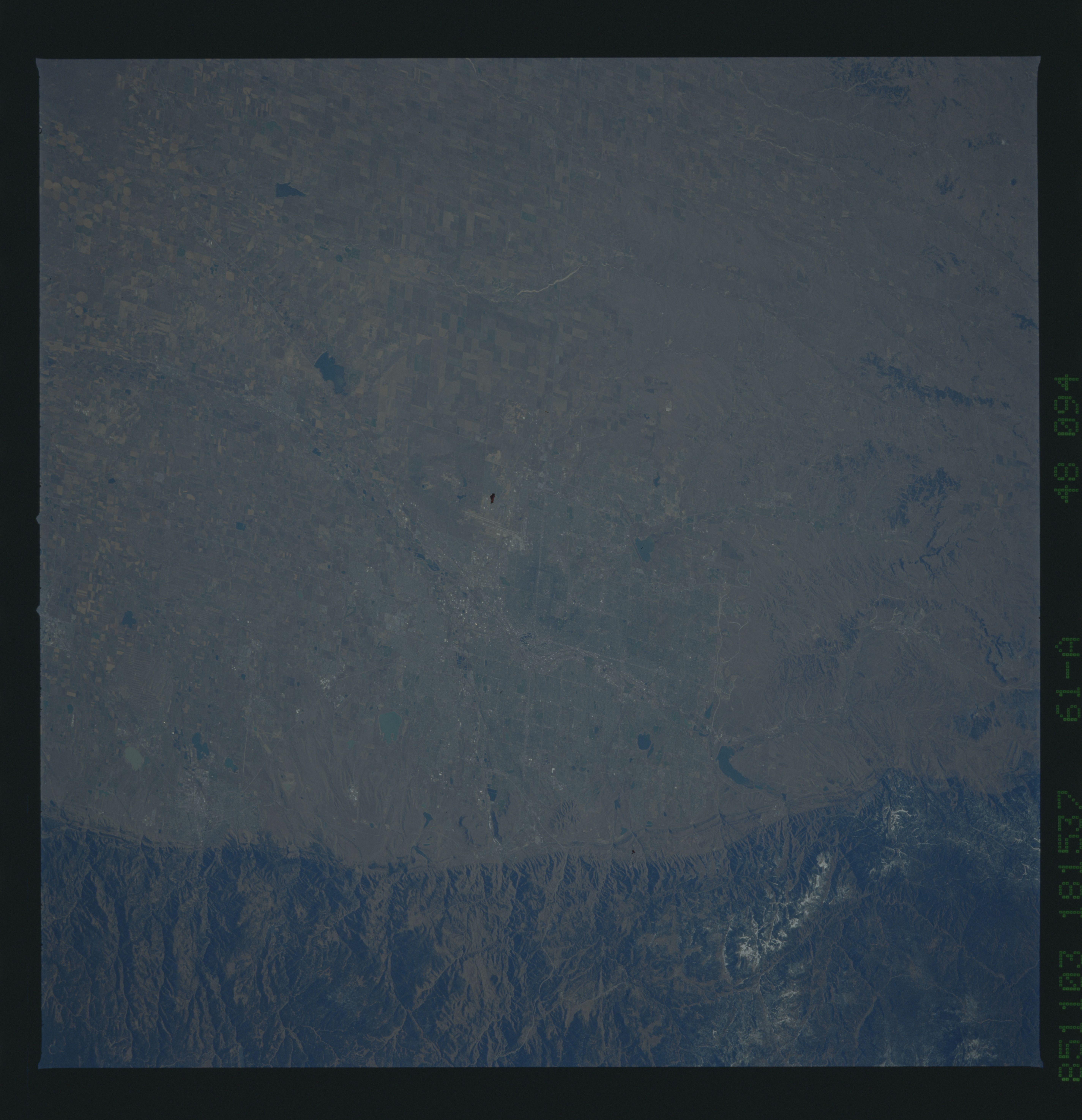
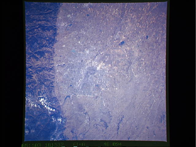
Image Caption: STS61A-048-0094 Denver, Colorado, U.S.A. November 1985
The dark, forested Front Range of the Rocky Mountains provides a dramatic and abrupt landform change from the western edge of the Great Plains. Visible at this scale is little of the infrastructure of Denver--some street grid patterns; dark, irregularly shaped lakes and reservoirs scattered across the urban area; and part of the north-flowing South Platte River. The picture was taken prior to the construction of the Denver International Airport northeast of the city.
The dark, forested Front Range of the Rocky Mountains provides a dramatic and abrupt landform change from the western edge of the Great Plains. Visible at this scale is little of the infrastructure of Denver--some street grid patterns; dark, irregularly shaped lakes and reservoirs scattered across the urban area; and part of the north-flowing South Platte River. The picture was taken prior to the construction of the Denver International Airport northeast of the city.
