STS61A-45-41
| NASA Photo ID | STS61A-45-41 |
| Focal Length | 250mm |
| Date taken | 1985.11.02 |
| Time taken | 01:02:37 GMT |
Cloud masks available for this image:
Spacecraft nadir point: 5.8° S, 122.7° E
Photo center point: 5.0° S, 122.5° E
Photo center point by machine learning:
Photo center point: 5.0° S, 122.5° E
Photo center point by machine learning:
Nadir to Photo Center: North
Spacecraft Altitude: 176 nautical miles (326km)
Country or Geographic Name: | INDONESIA |
Features: | SULAWESI, PULAU MUNA |
| Features Found Using Machine Learning: | |
Cloud Cover Percentage: | 30 (26-50)% |
Sun Elevation Angle: | 52° |
Sun Azimuth: | 106° |
Camera: | Hasselblad |
Focal Length: | 250mm |
Camera Tilt: | 16 degrees |
Format: | 5017: Kodak, natural color positive, Ektachrome, X Professional, ASA 64, standard base |
Film Exposure: | Normal |
| Additional Information | |
| Width | Height | Annotated | Cropped | Purpose | Links |
|---|---|---|---|---|---|
| 5700 pixels | 5900 pixels | No | No | Download Image | |
| 500 pixels | 518 pixels | No | No | Download Image | |
| 640 pixels | 480 pixels | No | No | Download Image |
Download Packaged File
Download a Google Earth KML for this Image
View photo footprint information
Download a GeoTIFF for this photo
Image Caption:
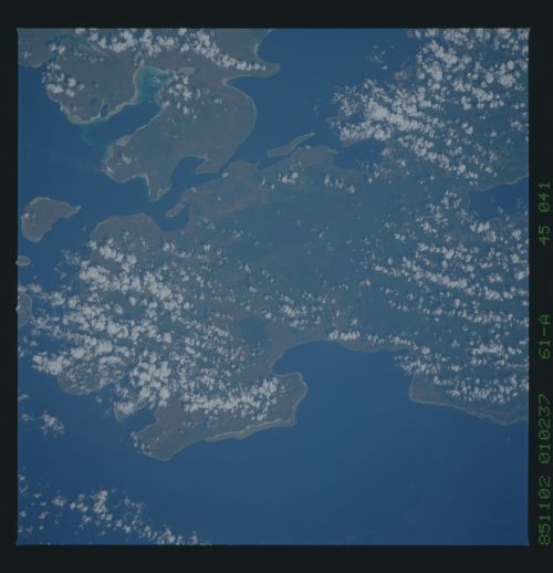
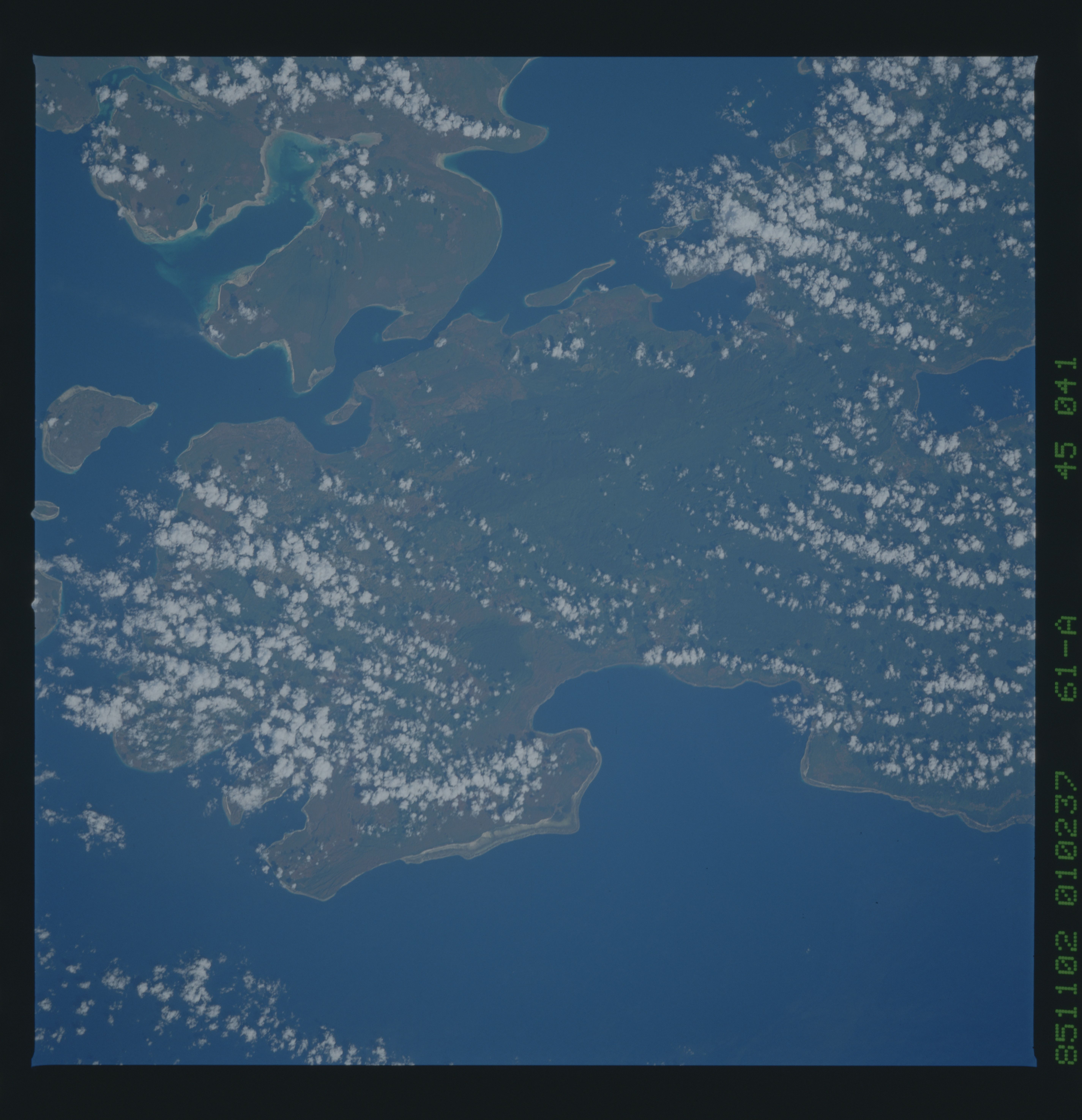
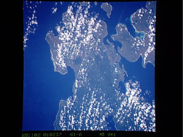
Butung Island
This island lies off the east coast of the southeast arm of Su-
lawesi. The eastern edge of the island, outlined at (1), is
thought to be a suture of continental crust splintered from new
Guinea which collided with the rest of Sulawesi. Ridges of de-
formed rocks can beseen at (2). Note the many clearings (3)
which are small villages in the low-lying areas. (61A-45-41,42)
