STS61A-43-29
| NASA Photo ID | STS61A-43-29 |
| Focal Length | 100mm |
| Date taken | 1985.11.02 |
| Time taken | 07:02:21 GMT |

Cloud masks available for this image:
Spacecraft nadir point: 20.4° S, 21.2° E
Photo center point: 19.0° S, 22.5° E
Photo center point by machine learning:
Photo center point: 19.0° S, 22.5° E
Photo center point by machine learning:
Nadir to Photo Center: Northeast
Spacecraft Altitude: 177 nautical miles (328km)
Country or Geographic Name: | BOTSWANA |
Features: | OKAVANGO SWAMP |
| Features Found Using Machine Learning: | |
Cloud Cover Percentage: | 0 (no clouds present) |
Sun Elevation Angle: | 43° |
Sun Azimuth: | 91° |
Camera: | Hasselblad |
Focal Length: | 100mm |
Camera Tilt: | 33 degrees |
Format: | 5017: Kodak, natural color positive, Ektachrome, X Professional, ASA 64, standard base |
Film Exposure: | Normal |
| Additional Information | |
| Width | Height | Annotated | Cropped | Purpose | Links |
|---|---|---|---|---|---|
| 5700 pixels | 5900 pixels | No | No | Download Image | |
| 500 pixels | 518 pixels | No | No | Download Image | |
| 640 pixels | 480 pixels | No | No | Download Image |
Download Packaged File
Download a Google Earth KML for this Image
View photo footprint information
Download a GeoTIFF for this photo
Image Caption:
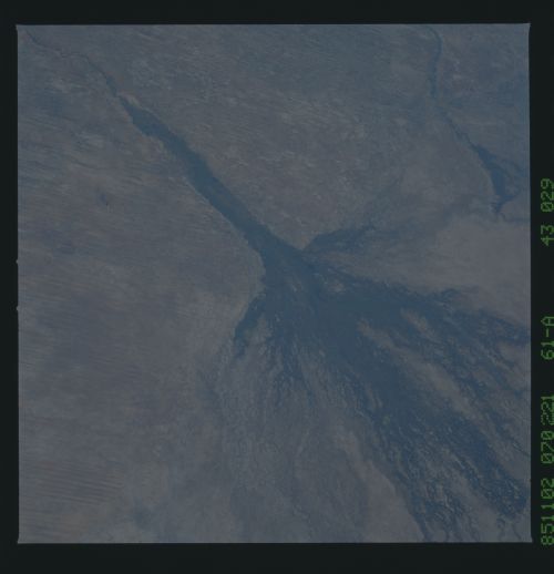
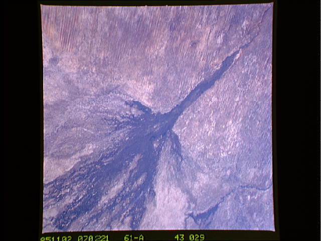
Okavango/Chobe Connection T24B
In the featureless sandplain of the Kalahari, rivers behave in
unusual ways. The northern spur of the delta (Makwegana spill-
way) joins the Okavango system to the Chobe- Zambezi system (top
right). Water can flow in either direction along the spillway
depending on which river floods to a higher level. Despite its
remoteness, tourists trek to the Savuti Channel nature reserve
(arrow) to observe one of the densest populations of elephant in
Africa. Botswana banned elephant hunting years ago; since then
overpopulation has become a problem with the associated environ-
mental damage, especially to trees which are routinely pushed
over by elephants. (61A-43-29)
