STS61A-42-47
| NASA Photo ID | STS61A-42-47 |
| Focal Length | 250mm |
| Date taken | 1985.11.05 |
| Time taken | 15:42:45 GMT |
Cloud masks available for this image:
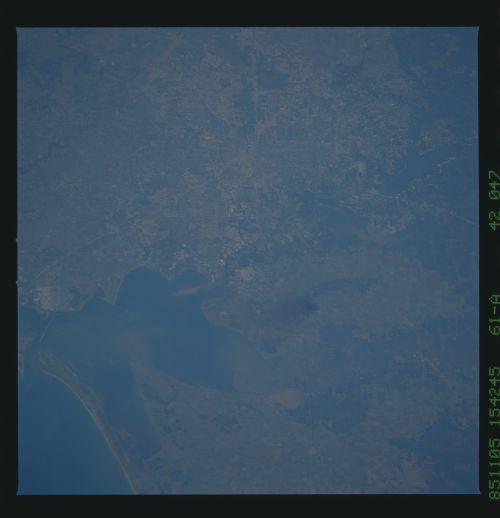
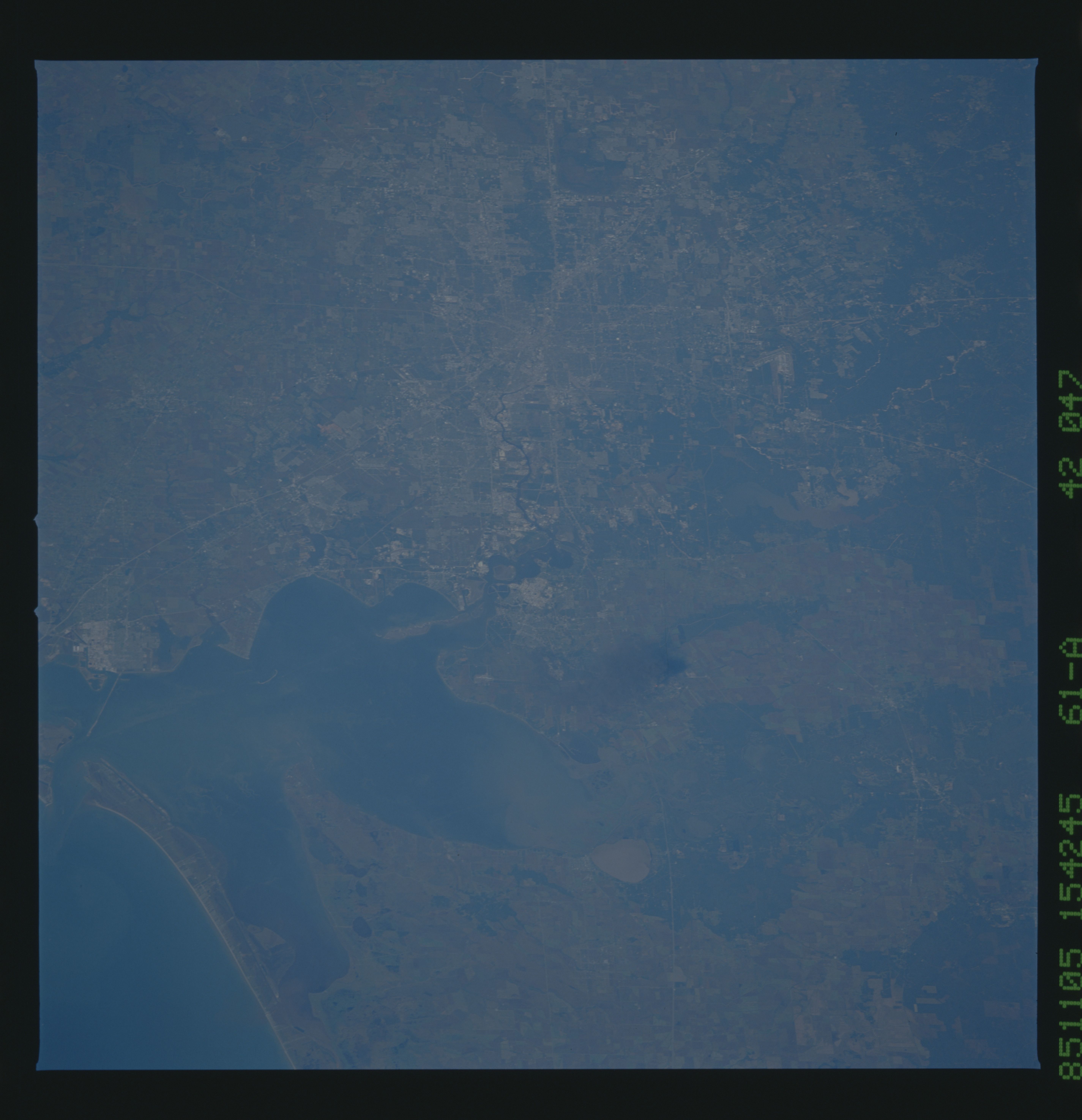
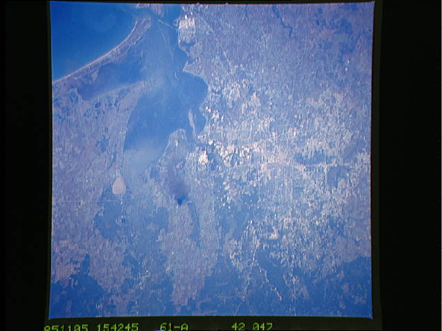
Spacecraft nadir point: 29.2° N, 92.2° W
Photo center point: 30.0° N, 95.0° W
Photo center point by machine learning:
Photo center point: 30.0° N, 95.0° W
Photo center point by machine learning:
Nadir to Photo Center: West
Spacecraft Altitude: 177 nautical miles (328km)
Country or Geographic Name: | USA-TEXAS |
Features: | HOUSTON |
| Features Found Using Machine Learning: | |
Cloud Cover Percentage: | 0 (no clouds present) |
Sun Elevation Angle: | 35° |
Sun Azimuth: | 140° |
Camera: | Hasselblad |
Focal Length: | 250mm |
Camera Tilt: | 45 degrees |
Format: | 5017: Kodak, natural color positive, Ektachrome, X Professional, ASA 64, standard base |
Film Exposure: | Normal |
| Additional Information | |
| Width | Height | Annotated | Cropped | Purpose | Links |
|---|---|---|---|---|---|
| 5700 pixels | 5900 pixels | No | No | Download Image | |
| 500 pixels | 518 pixels | No | No | Download Image | |
| 640 pixels | 480 pixels | No | No | Download Image |
Download Packaged File
Download a Google Earth KML for this Image
View photo footprint information
Download a GeoTIFF for this photo
Image Caption: Less than an hour before this photo was taken, a large explosion and fire occurred at a petrochemical plant in Mount Belvieu, just to the east of Houston, Texas (29.5N, 95.0W). The fire has just started and the smoke plume is fairly small but by the end of the day, smoke obscured most of the area east of Houston. The spider-web network of highways radiating from the center of Houston is easily seen as well as the Astrodome and other features.
