STS61A-42-46
| NASA Photo ID | STS61A-42-46 |
| Focal Length | 250mm |
| Date taken | 1985.11.05 |
| Time taken | 15:42:43 GMT |
Resolutions offered for this image:
3936 x 3904 pixels 639 x 634 pixels 5700 x 5900 pixels 500 x 518 pixels 640 x 480 pixels 411 x 443 pixels 411 x 443 pixels
3936 x 3904 pixels 639 x 634 pixels 5700 x 5900 pixels 500 x 518 pixels 640 x 480 pixels 411 x 443 pixels 411 x 443 pixels


Cloud masks available for this image:
Spacecraft nadir point: 29.1° N, 92.3° W
Photo center point: 29.5° N, 95.0° W
Photo center point by machine learning:
Photo center point: 29.5° N, 95.0° W
Photo center point by machine learning:
Nadir to Photo Center: West
Spacecraft Altitude: 177 nautical miles (328km)
Country or Geographic Name: | USA-TEXAS |
Features: | GALVESTON BAY |
| Features Found Using Machine Learning: | |
Cloud Cover Percentage: | 0 (no clouds present) |
Sun Elevation Angle: | 35° |
Sun Azimuth: | 140° |
Camera: | Hasselblad |
Focal Length: | 250mm |
Camera Tilt: | 43 degrees |
Format: | 5017: Kodak, natural color positive, Ektachrome, X Professional, ASA 64, standard base |
Film Exposure: | Normal |
| Additional Information | |
| Width | Height | Annotated | Cropped | Purpose | Links |
|---|---|---|---|---|---|
| 3936 pixels | 3904 pixels | No | No | Earth From Space collection | Download Image |
| 639 pixels | 634 pixels | No | No | Earth From Space collection | Download Image |
| 5700 pixels | 5900 pixels | No | No | Download Image | |
| 500 pixels | 518 pixels | No | No | Download Image | |
| 640 pixels | 480 pixels | No | No | Download Image | |
| 411 pixels | 443 pixels | Download Image | |||
| 411 pixels | 443 pixels | Download Image |
Download Packaged File
Download a Google Earth KML for this Image
View photo footprint information
Download a GeoTIFF for this photo
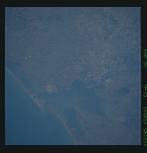
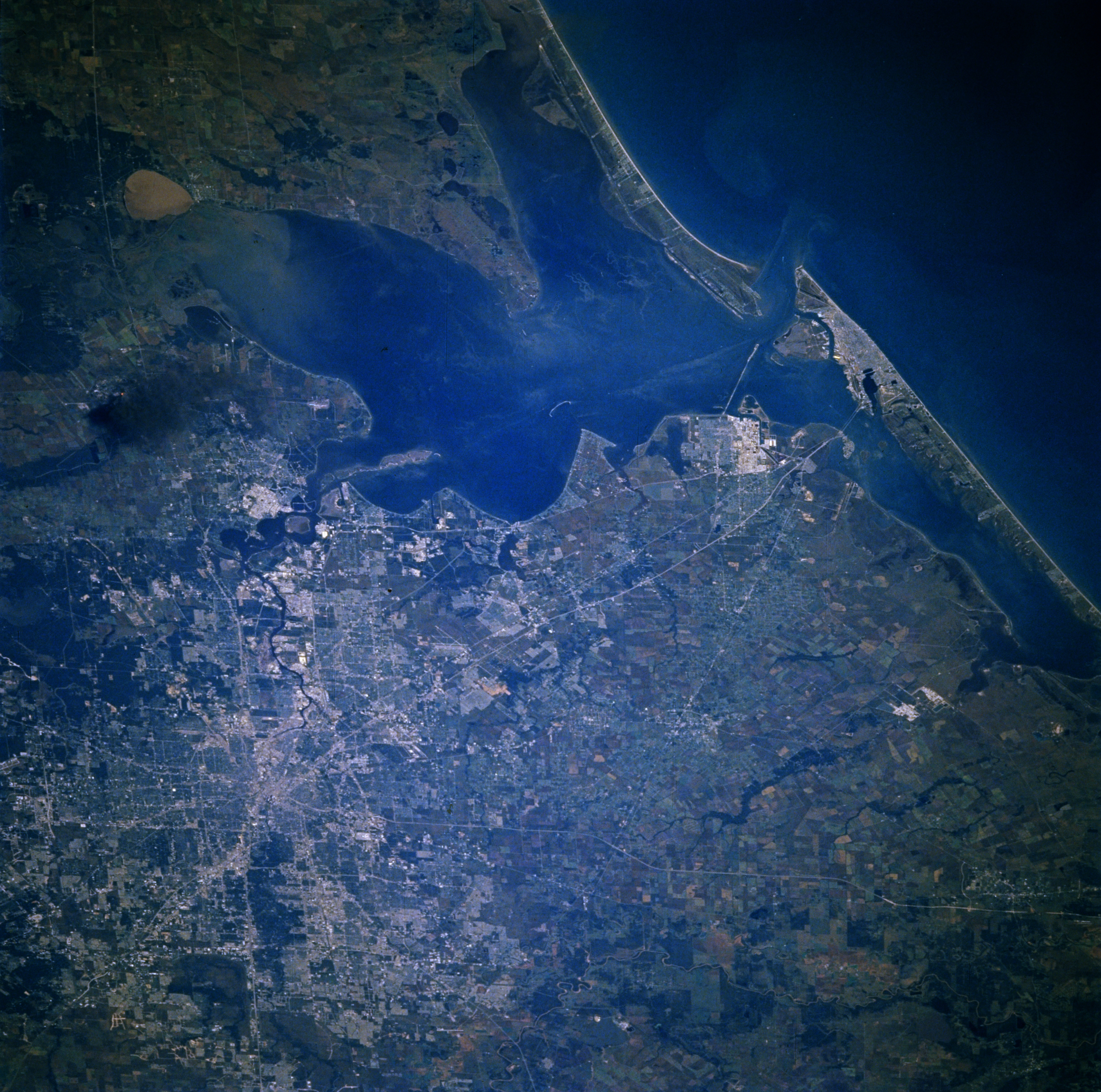
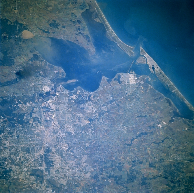
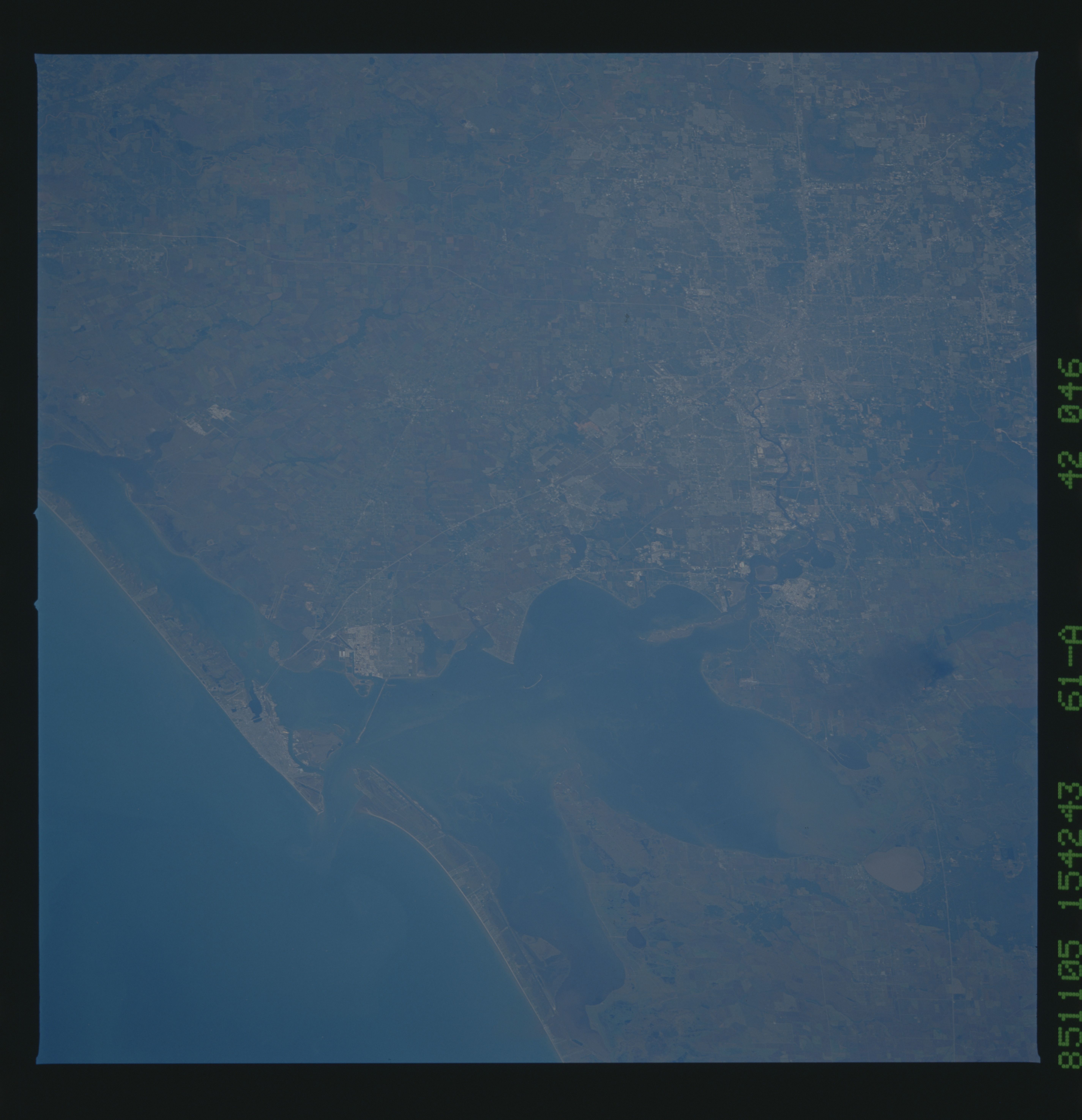
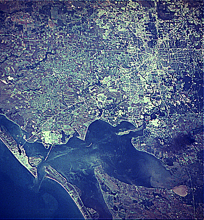
Image Caption: STS61A-042-0046 Houston and Galveston Bay, Texas, U.S.A. November 1985
Houston, the fourth most populous city in the United States, is featured in this east-looking, low-oblique photograph. A channel dredged within Galveston Bay, whose average depth is 12 feet (4 meters), allows merchant ships and tankers to enter the Port of Houston, the third-busiest port in the United States. Galveston is discernible at the east end of Galveston Island at the entrance to Galveston Bay. Visible are reflective areas northwest of Galveston that identify large oil refinery and petrochemical plants in Texas City; rich agricultural lands of the coastal plain on either side of Galveston Bay and south of Houston; and a large smoke plume from an oil refinery fire north of Baytown in the small community of Mont Belvieu.
Houston, the fourth most populous city in the United States, is featured in this east-looking, low-oblique photograph. A channel dredged within Galveston Bay, whose average depth is 12 feet (4 meters), allows merchant ships and tankers to enter the Port of Houston, the third-busiest port in the United States. Galveston is discernible at the east end of Galveston Island at the entrance to Galveston Bay. Visible are reflective areas northwest of Galveston that identify large oil refinery and petrochemical plants in Texas City; rich agricultural lands of the coastal plain on either side of Galveston Bay and south of Houston; and a large smoke plume from an oil refinery fire north of Baytown in the small community of Mont Belvieu.
