STS61A-41-88
| NASA Photo ID | STS61A-41-88 |
| Focal Length | 250mm |
| Date taken | 1985.11.04 |
| Time taken | 17:02:02 GMT |
Resolutions offered for this image:
3936 x 3872 pixels 639 x 629 pixels 5700 x 5900 pixels 500 x 518 pixels 640 x 480 pixels
3936 x 3872 pixels 639 x 629 pixels 5700 x 5900 pixels 500 x 518 pixels 640 x 480 pixels
Cloud masks available for this image:
Spacecraft nadir point: 43.4° N, 90.2° W
Photo center point: 42.5° N, 92.0° W
Photo center point by machine learning:
Photo center point: 42.5° N, 92.0° W
Photo center point by machine learning:
Nadir to Photo Center: Southwest
Spacecraft Altitude: 179 nautical miles (332km)
Country or Geographic Name: | USA-IOWA |
Features: | WATERLOO |
| Features Found Using Machine Learning: | |
Cloud Cover Percentage: | 10 (1-10)% |
Sun Elevation Angle: | 30° |
Sun Azimuth: | 168° |
Camera: | Hasselblad |
Focal Length: | 250mm |
Camera Tilt: | 34 degrees |
Format: | 5017: Kodak, natural color positive, Ektachrome, X Professional, ASA 64, standard base |
Film Exposure: | Normal |
| Additional Information | |
| Width | Height | Annotated | Cropped | Purpose | Links |
|---|---|---|---|---|---|
| 3936 pixels | 3872 pixels | No | No | Earth From Space collection | Download Image |
| 639 pixels | 629 pixels | No | No | Earth From Space collection | Download Image |
| 5700 pixels | 5900 pixels | No | No | Download Image | |
| 500 pixels | 518 pixels | No | No | Download Image | |
| 640 pixels | 480 pixels | No | No | Download Image |
Download Packaged File
Download a Google Earth KML for this Image
View photo footprint information
Download a GeoTIFF for this photo
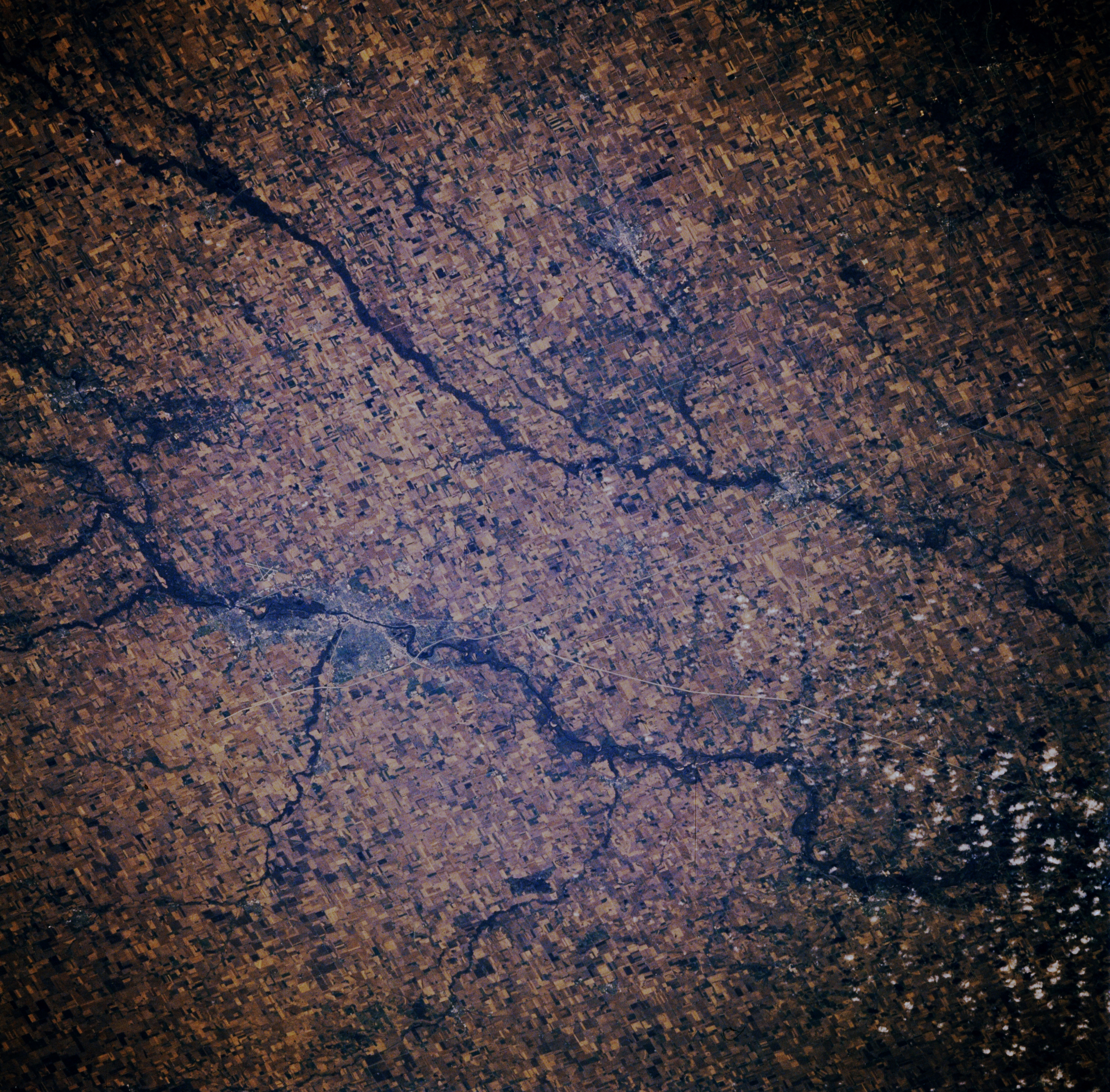
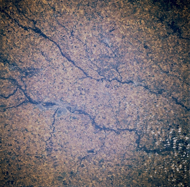
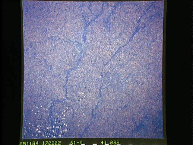
Image Caption: STS61A-041-0088 Cedar River, Wapsipinicon River, Waterloo, and Cedar Falls, Iowa, U.S.A. November 1985
Two rivers traverse this rich farming and livestock region--the more northeasterly Wapsipinicon River and the larger Cedar River, on which are situated the twin cities of Cedar Falls and Waterloo (midway between left center and center). Waterloo, the larger and more easterly of the twin cities, is an industrial and trade center specializing in farm machinery and air conditioning equipment. Cedar Falls has a diversity of small manufacturing industries and is the home of Northern Iowa University.
Two rivers traverse this rich farming and livestock region--the more northeasterly Wapsipinicon River and the larger Cedar River, on which are situated the twin cities of Cedar Falls and Waterloo (midway between left center and center). Waterloo, the larger and more easterly of the twin cities, is an industrial and trade center specializing in farm machinery and air conditioning equipment. Cedar Falls has a diversity of small manufacturing industries and is the home of Northern Iowa University.
