STS61A-41-85
| NASA Photo ID | STS61A-41-85 |
| Focal Length | 250mm |
| Date taken | 1985.11.04 |
| Time taken | 16:59:20 GMT |
Resolutions offered for this image:
3907 x 3872 pixels 640 x 634 pixels 5700 x 5900 pixels 500 x 518 pixels 640 x 480 pixels
3907 x 3872 pixels 640 x 634 pixels 5700 x 5900 pixels 500 x 518 pixels 640 x 480 pixels

Cloud masks available for this image:
Spacecraft nadir point: 35.9° N, 99.4° W
Photo center point: 35.0° N, 98.5° W
Photo center point by machine learning:
Photo center point: 35.0° N, 98.5° W
Photo center point by machine learning:
Nadir to Photo Center: Southeast
Spacecraft Altitude: 178 nautical miles (330km)
Country or Geographic Name: | USA-OKLAHOMA |
Features: | LAWTON |
| Features Found Using Machine Learning: | |
Cloud Cover Percentage: | 0 (no clouds present) |
Sun Elevation Angle: | 35° |
Sun Azimuth: | 155° |
Camera: | Hasselblad |
Focal Length: | 250mm |
Camera Tilt: | 23 degrees |
Format: | 5017: Kodak, natural color positive, Ektachrome, X Professional, ASA 64, standard base |
Film Exposure: | Normal |
| Additional Information | |
| Width | Height | Annotated | Cropped | Purpose | Links |
|---|---|---|---|---|---|
| 3907 pixels | 3872 pixels | No | No | Earth From Space collection | Download Image |
| 640 pixels | 634 pixels | No | No | Earth From Space collection | Download Image |
| 5700 pixels | 5900 pixels | No | No | Download Image | |
| 500 pixels | 518 pixels | No | No | Download Image | |
| 640 pixels | 480 pixels | No | No | Download Image |
Download Packaged File
Download a Google Earth KML for this Image
View photo footprint information
Download a GeoTIFF for this photo
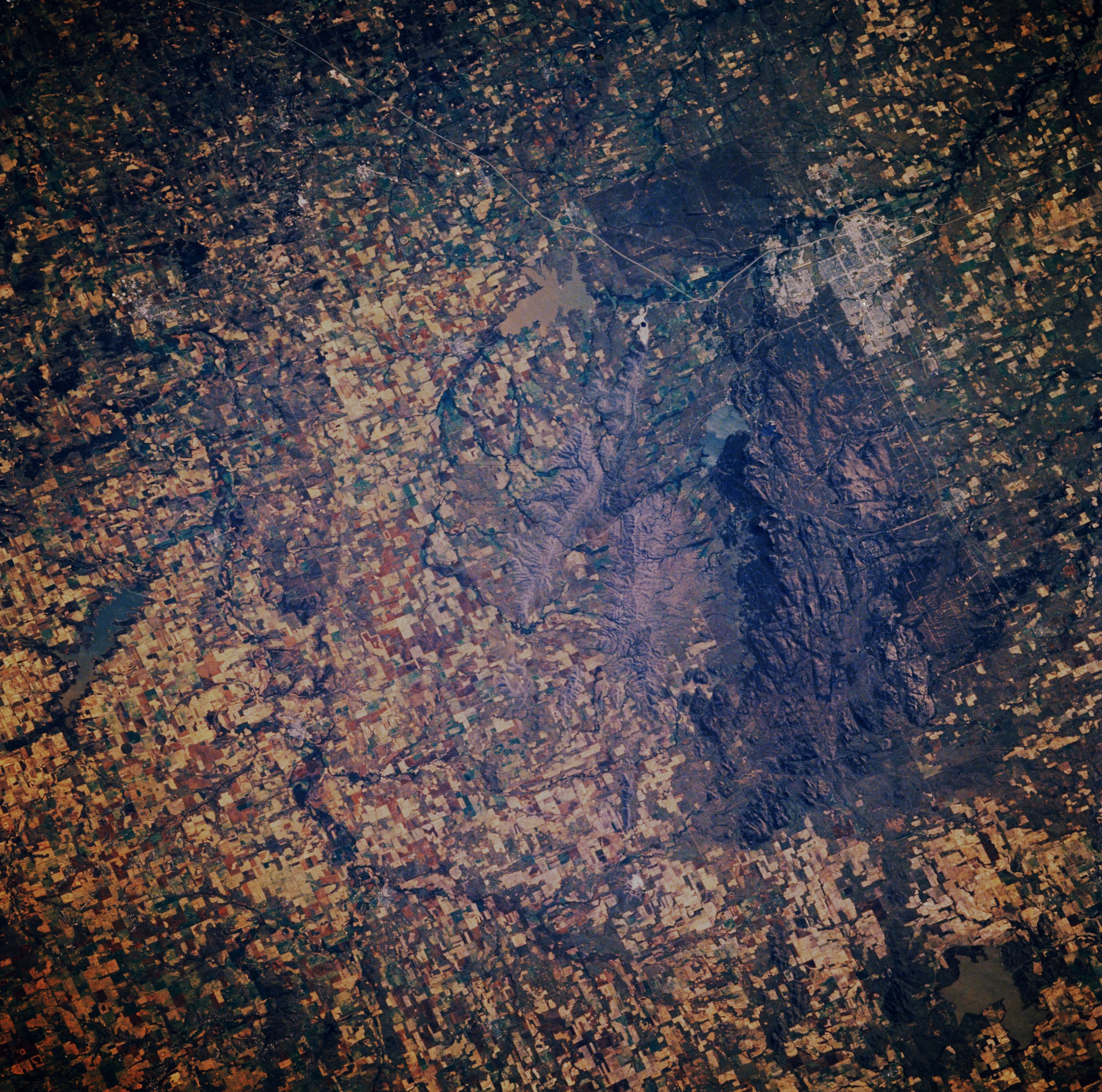
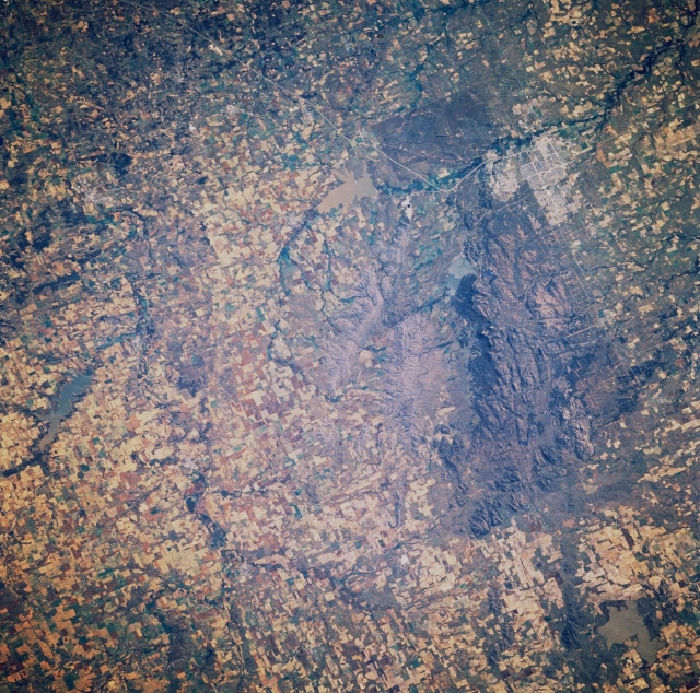
Image Caption: STS61A-041-0085 Wichita Mountains and Lawton, Oklahoma, U.S.A. November 1985
The Wichita Mountains, an outlier of the Ouachitas of western Arkansas, are featured in this east-southeast-looking, low-oblique photograph. Domed sedimentaries were eroded, and the Wichitas are now composed of mostly igneous rocks, chiefly granites. The uplifted and base-leveled mountains have much in common with the Great Appalachians east of the Mississippi River. A large portion of the Wichita Mountains is a National Wildlife Refuge. Lawton, east-southeast of the Wichita Mountains, is a trade and commercial center for the surrounding cotton, wheat, and cattle area of southwestern Oklahoma. Industries include clothing, cement, and dairy products; limestone quarrying, and oil well production. The city also supports nearby Fort Sill, a U.S. Army Field Artillery Center. Visible north of Lawton are sediment-laden Lake Ellsworth and Fort Cobb Lake (left center).
The Wichita Mountains, an outlier of the Ouachitas of western Arkansas, are featured in this east-southeast-looking, low-oblique photograph. Domed sedimentaries were eroded, and the Wichitas are now composed of mostly igneous rocks, chiefly granites. The uplifted and base-leveled mountains have much in common with the Great Appalachians east of the Mississippi River. A large portion of the Wichita Mountains is a National Wildlife Refuge. Lawton, east-southeast of the Wichita Mountains, is a trade and commercial center for the surrounding cotton, wheat, and cattle area of southwestern Oklahoma. Industries include clothing, cement, and dairy products; limestone quarrying, and oil well production. The city also supports nearby Fort Sill, a U.S. Army Field Artillery Center. Visible north of Lawton are sediment-laden Lake Ellsworth and Fort Cobb Lake (left center).
