STS61A-41-82
| NASA Photo ID | STS61A-41-82 |
| Focal Length | 250mm |
| Date taken | 1985.11.04 |
| Time taken | 16:58:23 GMT |
Resolutions offered for this image:
3872 x 3872 pixels 639 x 639 pixels 5700 x 5900 pixels 500 x 518 pixels 640 x 480 pixels
3872 x 3872 pixels 639 x 639 pixels 5700 x 5900 pixels 500 x 518 pixels 640 x 480 pixels
Cloud masks available for this image:
Spacecraft nadir point: 33.1° N, 102.1° W
Photo center point: 33.0° N, 101.5° W
Photo center point by machine learning:
Photo center point: 33.0° N, 101.5° W
Photo center point by machine learning:
Nadir to Photo Center: East
Spacecraft Altitude: 178 nautical miles (330km)
Country or Geographic Name: | USA-TEXAS |
Features: | O'DONNELL |
| Features Found Using Machine Learning: | |
Cloud Cover Percentage: | 0 (no clouds present) |
Sun Elevation Angle: | 36° |
Sun Azimuth: | 151° |
Camera: | Hasselblad |
Focal Length: | 250mm |
Camera Tilt: | 12 degrees |
Format: | 5017: Kodak, natural color positive, Ektachrome, X Professional, ASA 64, standard base |
Film Exposure: | Normal |
| Additional Information | |
| Width | Height | Annotated | Cropped | Purpose | Links |
|---|---|---|---|---|---|
| 3872 pixels | 3872 pixels | No | No | Earth From Space collection | Download Image |
| 639 pixels | 639 pixels | No | No | Earth From Space collection | Download Image |
| 5700 pixels | 5900 pixels | No | No | Download Image | |
| 500 pixels | 518 pixels | No | No | Download Image | |
| 640 pixels | 480 pixels | No | No | Download Image |
Download Packaged File
Download a Google Earth KML for this Image
View photo footprint information
Download a GeoTIFF for this photo
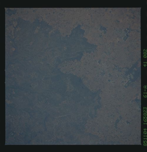
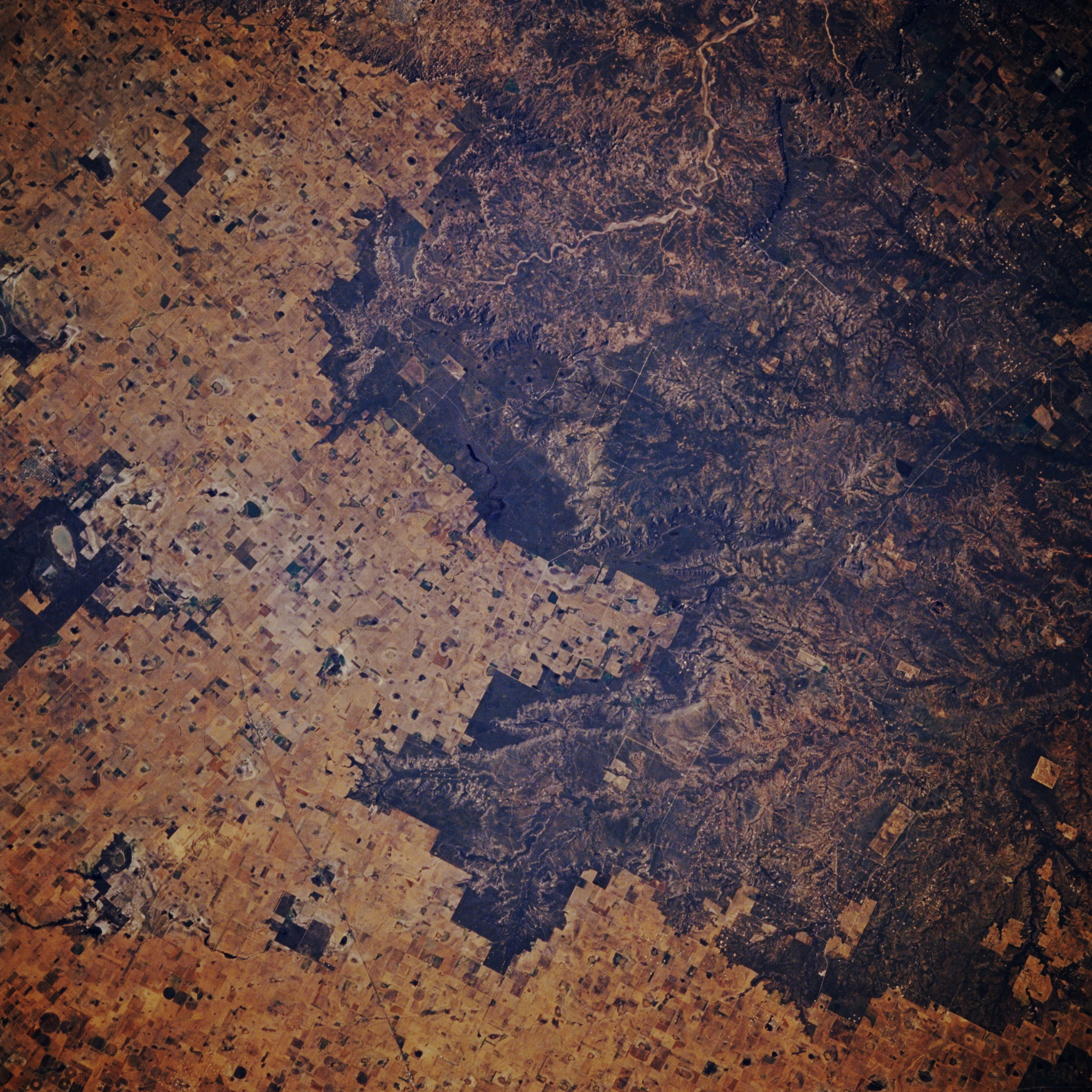
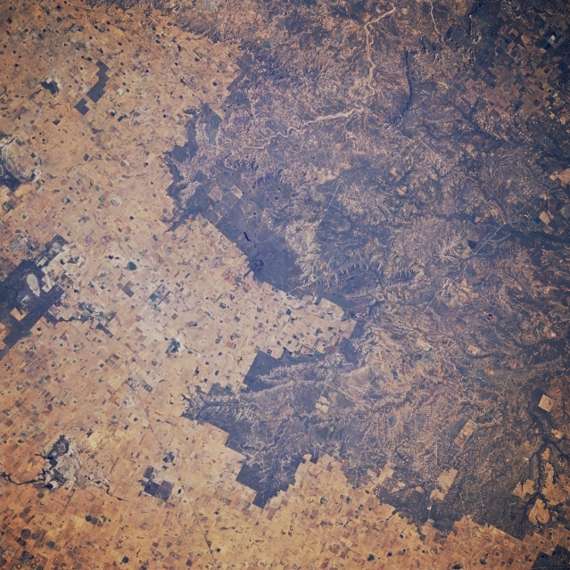
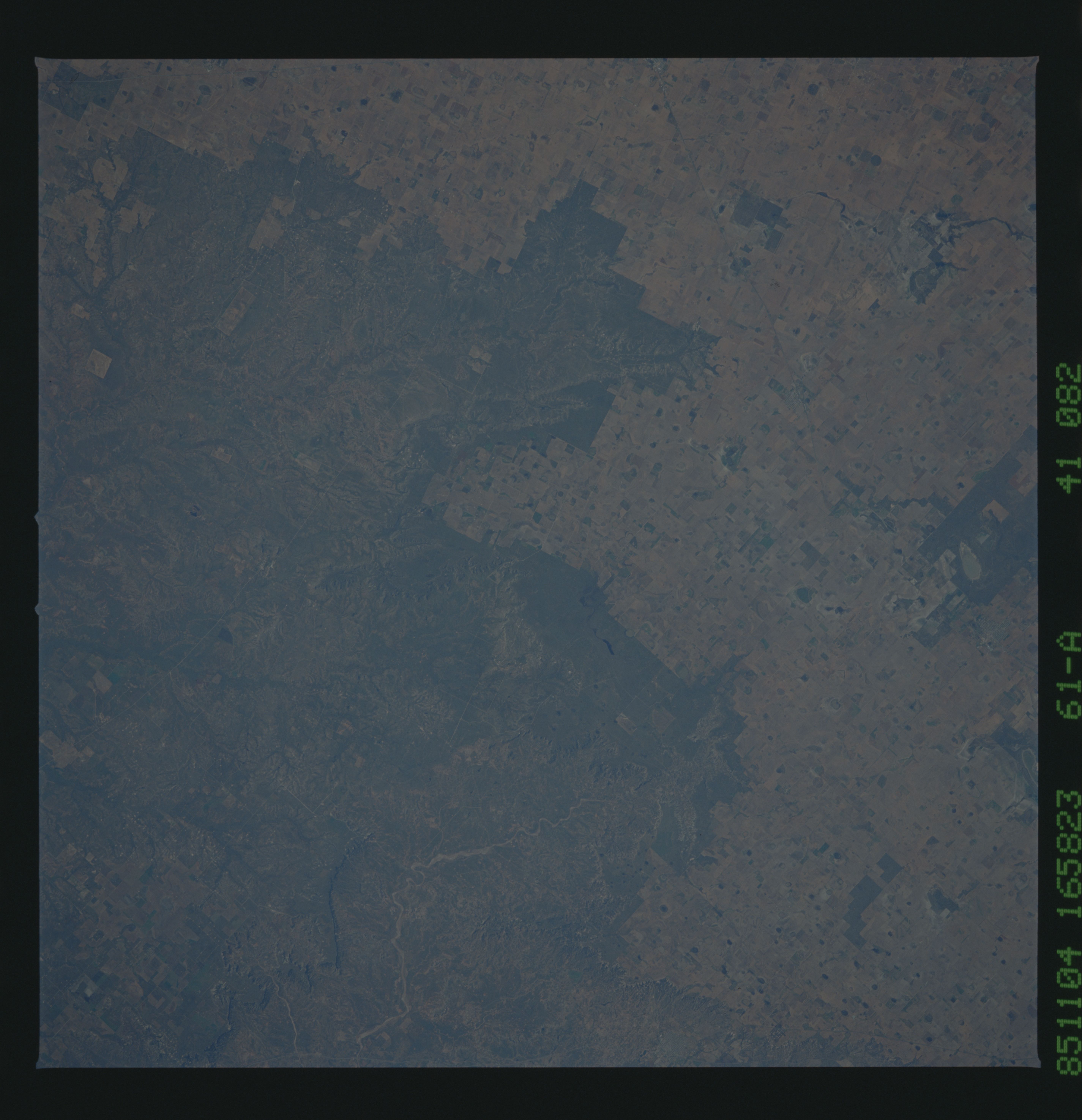
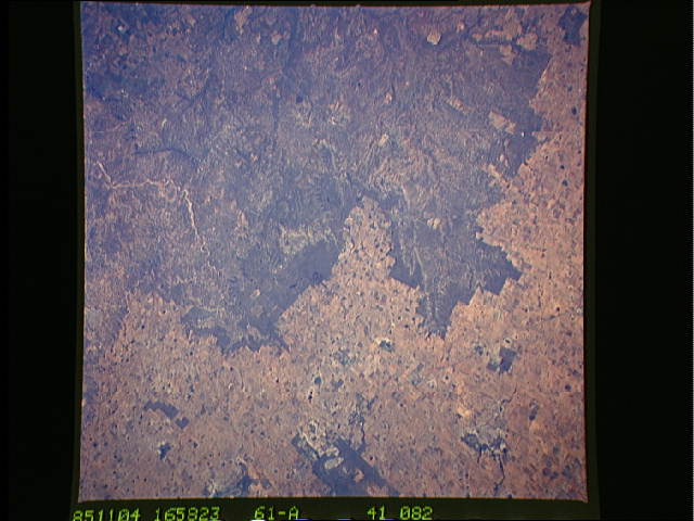
Image Caption: STS61A-041-0082 Caprock Escarpment, Texas, U.S.A. November 1985
The north-south-oriented Caprock escarpment, separating the high plains from erosional lands of the Permian Plain, is featured in this northeast-looking, low-oblique photograph. Though not a high escarpment, the differences in landscape and land use on either side of the escarpment are apparent. Barely discernible is four-lane U.S. Highway 87, which connects Big Spring and Lubbock.
The north-south-oriented Caprock escarpment, separating the high plains from erosional lands of the Permian Plain, is featured in this northeast-looking, low-oblique photograph. Though not a high escarpment, the differences in landscape and land use on either side of the escarpment are apparent. Barely discernible is four-lane U.S. Highway 87, which connects Big Spring and Lubbock.
