STS61A-40-73

| NASA Photo ID | STS61A-40-73 |
| Focal Length | 250mm |
| Date taken | 1985.11.05 |
| Time taken | 00:25:52 GMT |
Cloud masks available for this image:
Spacecraft nadir point: 8.2° N, 124.6° E
Photo center point: 8.5° N, 125.0° E
Photo center point by machine learning:
Photo center point: 8.5° N, 125.0° E
Photo center point by machine learning:
Nadir to Photo Center: Northeast
Spacecraft Altitude: 175 nautical miles (324km)
Country or Geographic Name: | PHILIPPINES |
Features: | CAGAYAN DE ORO, MINDANAO |
| Features Found Using Machine Learning: | |
Cloud Cover Percentage: | 30 (26-50)% |
Sun Elevation Angle: | 39° |
Sun Azimuth: | 118° |
Camera: | Hasselblad |
Focal Length: | 250mm |
Camera Tilt: | 10 degrees |
Format: | 5017: Kodak, natural color positive, Ektachrome, X Professional, ASA 64, standard base |
Film Exposure: | Normal |
| Additional Information | |
| Width | Height | Annotated | Cropped | Purpose | Links |
|---|---|---|---|---|---|
| 5700 pixels | 5900 pixels | No | No | Download Image | |
| 500 pixels | 518 pixels | No | No | Download Image | |
| 640 pixels | 480 pixels | No | No | Download Image |
Download Packaged File
Download a Google Earth KML for this Image
View photo footprint information
Download a GeoTIFF for this photo
Image Caption:
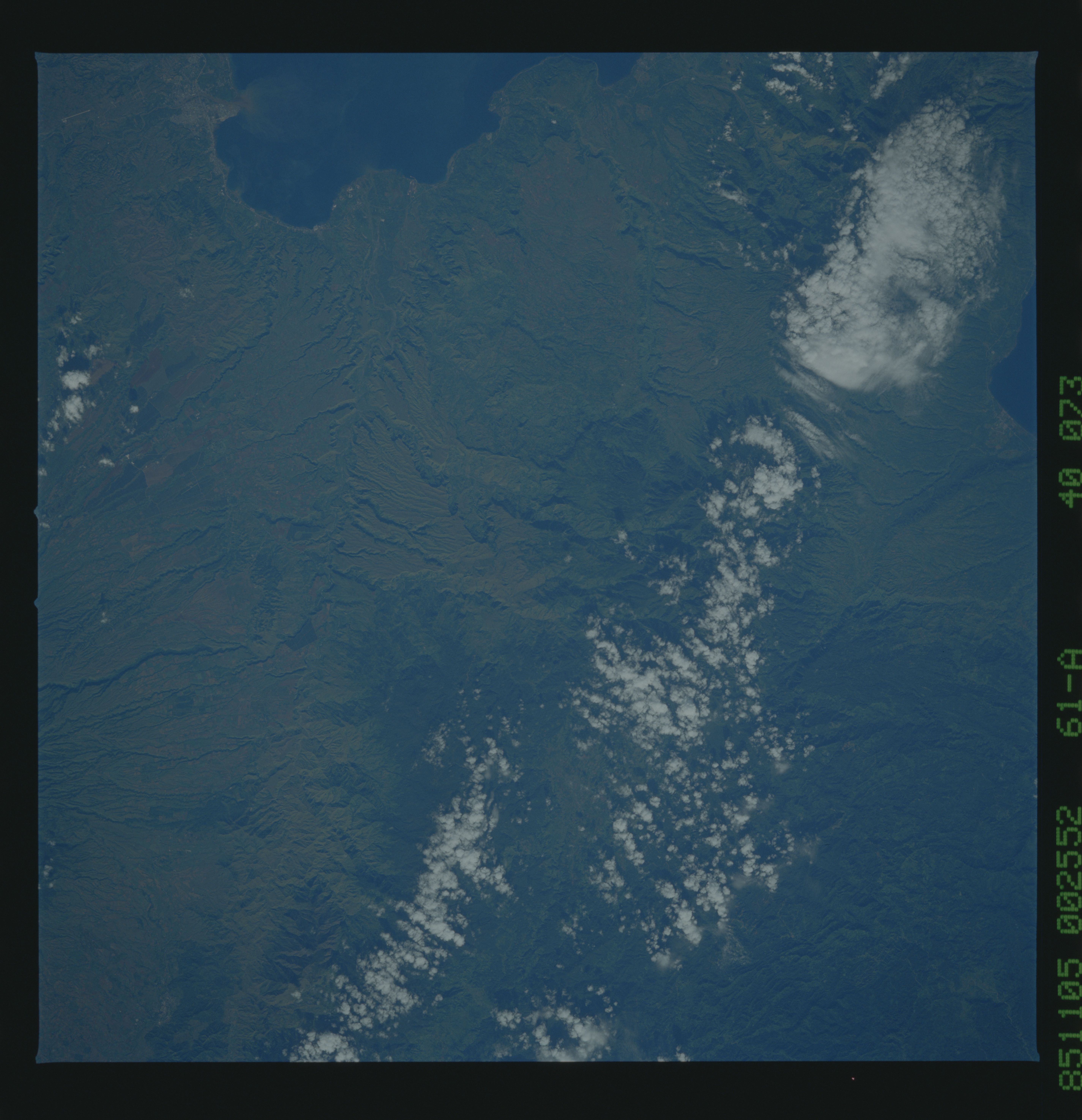
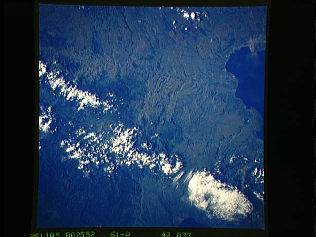
North-central Mindanao
This is a spectacular color photograph which displays the geolo-
gic diversity east and south of Cagayan de Oro (1), Mindanao. A
large fault (2) is well delineated with older uplifted sedimenta-
ry rocks to the east. To the south, two large mountains, Mt.
Kaatoan (3) and Mt. Catatungan (4) have elevations close to 3000
m, but their flanks have been completely deforested. The tightly
meandering but incised river which flows between them (5) indi-
cates that the region is still being uplifted. Volcanic plugs
and flows can be seen at (6). (61A-40-72, 73)
