STS61A-37-89
| NASA Photo ID | STS61A-37-89 |
| Focal Length | 250mm |
| Date taken | 1985.11.01 |
| Time taken | 02:22:47 GMT |

Cloud masks available for this image:
Spacecraft nadir point: 13.4° N, 120.6° E
Photo center point: 14.5° N, 121.0° E
Photo center point by machine learning:
Photo center point: 14.5° N, 121.0° E
Photo center point by machine learning:
Nadir to Photo Center: North
Spacecraft Altitude: 176 nautical miles (326km)
Country or Geographic Name: | PHILIPPINES |
Features: | MANILA |
| Features Found Using Machine Learning: | |
Cloud Cover Percentage: | 30 (26-50)% |
Sun Elevation Angle: | 56° |
Sun Azimuth: | 144° |
Camera: | Hasselblad |
Focal Length: | 250mm |
Camera Tilt: | 22 degrees |
Format: | 5017: Kodak, natural color positive, Ektachrome, X Professional, ASA 64, standard base |
Film Exposure: | Normal |
| Additional Information | |
| Width | Height | Annotated | Cropped | Purpose | Links |
|---|---|---|---|---|---|
| 5700 pixels | 5900 pixels | No | No | Download Image | |
| 500 pixels | 518 pixels | No | No | Download Image | |
| 640 pixels | 480 pixels | No | No | Download Image |
Download Packaged File
Download a Google Earth KML for this Image
View photo footprint information
Download a GeoTIFF for this photo
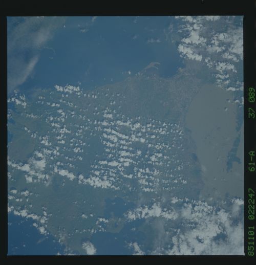
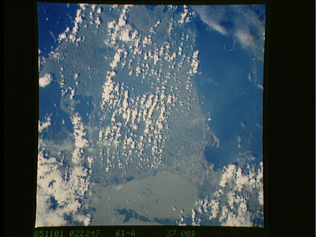
Image Caption: The city of Manila (1) lies just north of the most active vol-
canoes on the Philippines. Taal (2) last erupted in 1977, but had
been very active during the 10 years prior. The volcano sits in
a lake which is in the middle of a very large volcanic caldera.
Laguna de Bay (3), the large 3-lobed lake to the northeast of
Taal, is also a volcanic caldera. Its shallow, brackish waters
maintain a large fishing industry. The linear structures in the
lake are fishing traps. The rest of this area supports a variety
of agriculture. (61A-37-89)
