STS61A-35-77
| NASA Photo ID | STS61A-35-77 |
| Focal Length | 250mm |
| Date taken | 1985.11.01 |
| Time taken | 19:15:29 GMT |
Resolutions offered for this image:
3904 x 3904 pixels 639 x 639 pixels 5700 x 5900 pixels 500 x 518 pixels 640 x 480 pixels
3904 x 3904 pixels 639 x 639 pixels 5700 x 5900 pixels 500 x 518 pixels 640 x 480 pixels


Cloud masks available for this image:
Spacecraft nadir point: 47.0° N, 101.4° W
Photo center point: 46.0° N, 100.5° W
Photo center point by machine learning:
Photo center point: 46.0° N, 100.5° W
Photo center point by machine learning:
Nadir to Photo Center: Southeast
Spacecraft Altitude: 181 nautical miles (335km)
Country or Geographic Name: | USA-NORTH DAKOTA |
Features: | MISSOURI RIVER |
| Features Found Using Machine Learning: | |
Cloud Cover Percentage: | 0 (no clouds present) |
Sun Elevation Angle: | 27° |
Sun Azimuth: | 192° |
Camera: | Hasselblad |
Focal Length: | 250mm |
Camera Tilt: | 24 degrees |
Format: | 5017: Kodak, natural color positive, Ektachrome, X Professional, ASA 64, standard base |
Film Exposure: | Normal |
| Additional Information | |
| Width | Height | Annotated | Cropped | Purpose | Links |
|---|---|---|---|---|---|
| 3904 pixels | 3904 pixels | No | No | Earth From Space collection | Download Image |
| 639 pixels | 639 pixels | No | No | Earth From Space collection | Download Image |
| 5700 pixels | 5900 pixels | No | No | Download Image | |
| 500 pixels | 518 pixels | No | No | Download Image | |
| 640 pixels | 480 pixels | No | No | Download Image |
Download Packaged File
Download a Google Earth KML for this Image
View photo footprint information
Download a GeoTIFF for this photo
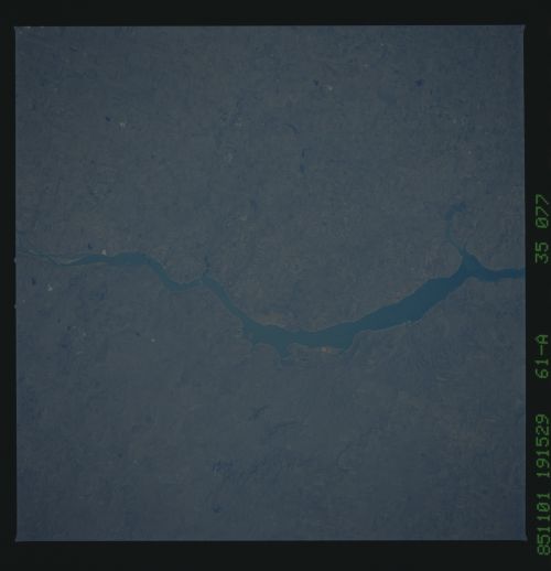
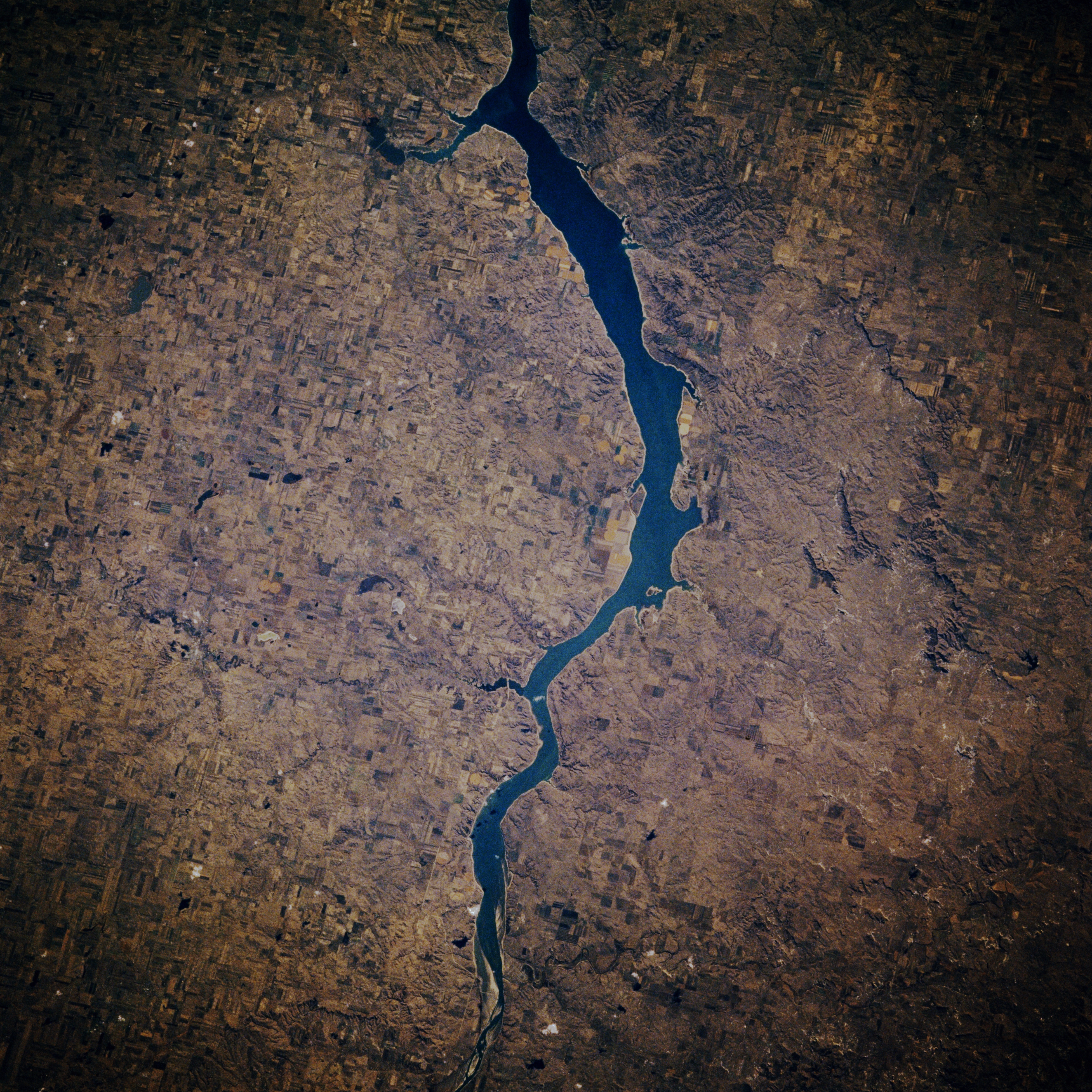
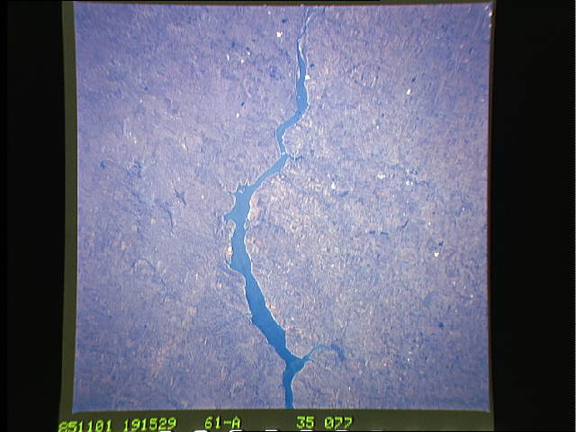
Image Caption: STS61A-035-0077 Lake Oahe, North Dakota, U.S.A. October 1985
Lake Oahe, 250 miles (403 kilometers) long, was completed in the 1950s and is used for recreation, irrigation, flood control, and hydroelectric power. The northern portion of the lake is featured in this south-looking, low-oblique photograph. The Missouri River Valley in which the lake sits is approximately 300 to 500 feet (92 to 153 meters) deep and is surrounded by bluffs and hills on either side. Land east of the lake was covered with ice age glaciers nearly 10 000 years ago, but land west of the lake was not touched by glaciation. Visible are agricultural fields to the east of the lake and to the west the hilly terrain of the Standing Rock Indian Reservation in which is buried Chief Sitting Bull of the Sioux Indians.
Lake Oahe, 250 miles (403 kilometers) long, was completed in the 1950s and is used for recreation, irrigation, flood control, and hydroelectric power. The northern portion of the lake is featured in this south-looking, low-oblique photograph. The Missouri River Valley in which the lake sits is approximately 300 to 500 feet (92 to 153 meters) deep and is surrounded by bluffs and hills on either side. Land east of the lake was covered with ice age glaciers nearly 10 000 years ago, but land west of the lake was not touched by glaciation. Visible are agricultural fields to the east of the lake and to the west the hilly terrain of the Standing Rock Indian Reservation in which is buried Chief Sitting Bull of the Sioux Indians.
